Battleship Rock is a small hike in Beitou with a rock shaped like its name on top. From here, you can enjoy great views of Taipei and Beitou. This trail has also become popular with mountain bikers. It is definitely worth checking out the next time you are in the area.
🏯 Planning your trip to Taipei? 🏮
Here are some top travel tips for you:
- Best time to visit: March-May, and October – November when the temperatures are nice and there is not as much rain
- You can buy tickets to Taipei’s Science Museum for a discount on Klook here
- How to get there: Taiwan High Speed Railway and Inter-City Bus
- Best places to stay: Yuanshan Grand Hotel or Fu Chang Hotel
- Book tours and activities in Taipei on Klook
- Stay connected with a local SIM
- Rent a car to explore distant sights
Historical Background:
Battleship Rock is a distinctive sandstone formation in northern Taipei, located on the southern edge of the Datun volcanic range. Named for its resemblance to a warship, it sits at about 185.6 meters and is a popular hiking destination along the Junjianyan Trail, offering wide panoramic views of the Taipei Basin, including areas like Shilin, Sanchong, and the confluence of the Tamsui and Keelung Rivers. The area features diverse ecosystems shaped by its geology and climate, supporting both drought-resistant plants on exposed slopes and shade-loving species in moist forested areas, along with protected insect species and rich biodiversity. Historically, it also served as a training ground during Taiwan’s martial law period, contributing to the development of off-road motorcycling. Today, it is valued for recreation, environmental education, and ecological research, though it has faced environmental challenges such as fires, illegal harvesting, and habitat disturbance over the years.
Hours:
24/7
Price:
Free.
Difficulty:
Moderate – there are some steep parts with lots of steps.
100 Meter elevation gain.
Length:
5.2 KM one way
Takes about 2-3 hours.
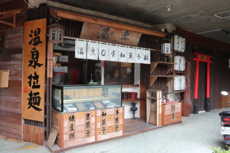
Where to stay:
We recommend Fullon Hotel, which has locations in Tamsui and Fulong near the beach (book on Booking.com here, Tripadvisor here, Agoda here, or Hotels.com here).
We have stayed at and recommend Gold Mountain Ranch, which is a horse ranch and glamping destination in Jinshan. You can book a night at Gold Mountain Ranch on Klook here. You can also check out our full blog on the ranch here.
We have also stayed at and recommend Hai Xia Your Home, which is right in front of Fulong Beach (book on Booking.com here, Tripadvisor here, Agoda here, or Hotels.com here).
Activities in Taipei:
There are many activities available to enjoy in Taipei, such as kayaking, canoeing, snorkeling, SUP / paddle boarding, water biking, and more activities, which you can book on Klook here or KKday here.
How to get there:
By Car/Scooter: From Beitou, Take Donghua Street to National Yang Ming Chiao Tung University. You have to get into the university to get to the trailhead. There is limited paid parking nearby.
Looking for scooter rental in Taipei? You can search on Klook here or KKday here to search for options. You can also check out our scooter rental guide here.
If you are looking for car rentals, you can also search Qeeq here, Klook here, or KKday here. You can also check out our car rental guide here.
By MRT/Bus: The easiest way to get there is from Qilian MRT Station, which is a short walk from National Yang Ming Chiao Tung University. The trailhead begins at the university. You can also book an MRT travel pass on Klook here.
By Bicycle:
Cycling is the best way to enjoy Taiwan’s landscapes if you have the time and energy. Looking for bicycle rentals in Taiwan? You can use Taiwan’s many Youbike sharing stations, or search for rentals on KKday here, and search for tours on Klook here. You can also check out our Taiwan cycling guide here. You can also book a Sunset Riverside Bike Ride and Historical Tour, 4 Hour Cycling in Taipei, Ultimate 8-Hour Cycling City Tour, or Taipei City Bike Tour with Night Market Experience on TripAdvisor here.
For more information, check out our Taiwan transportation guide here.
Map:
Please see below:
The easiest way to get there is from Qilian MRT Station, which is a short walk from National Yang Ming Chiao Tung University. One of the trailheads begins at the university.
Our Journey:
Despite being a long-time Taipei resident, it took me ten years of living here before I finally hiked on this amazing trail. I did this trail one morning with my kids. Overall, it was fun and easy, but there is not much cover from the sun, so it can get hot. The views at the top are worth it, though.
We started at the University Parking lot nearby, where we paid for scooter parking.
There were only two scooters in the whole parking lot when we visited.
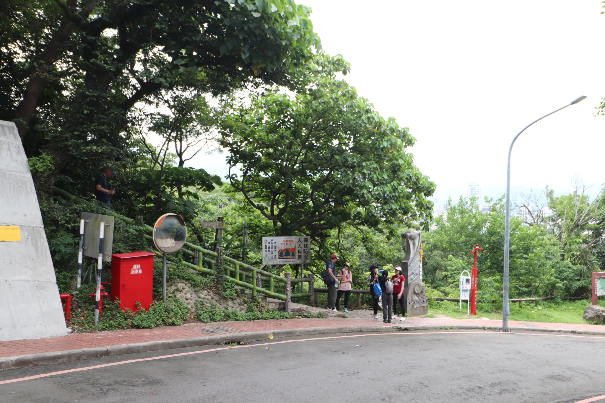
Here you can see the beginning of the trail.
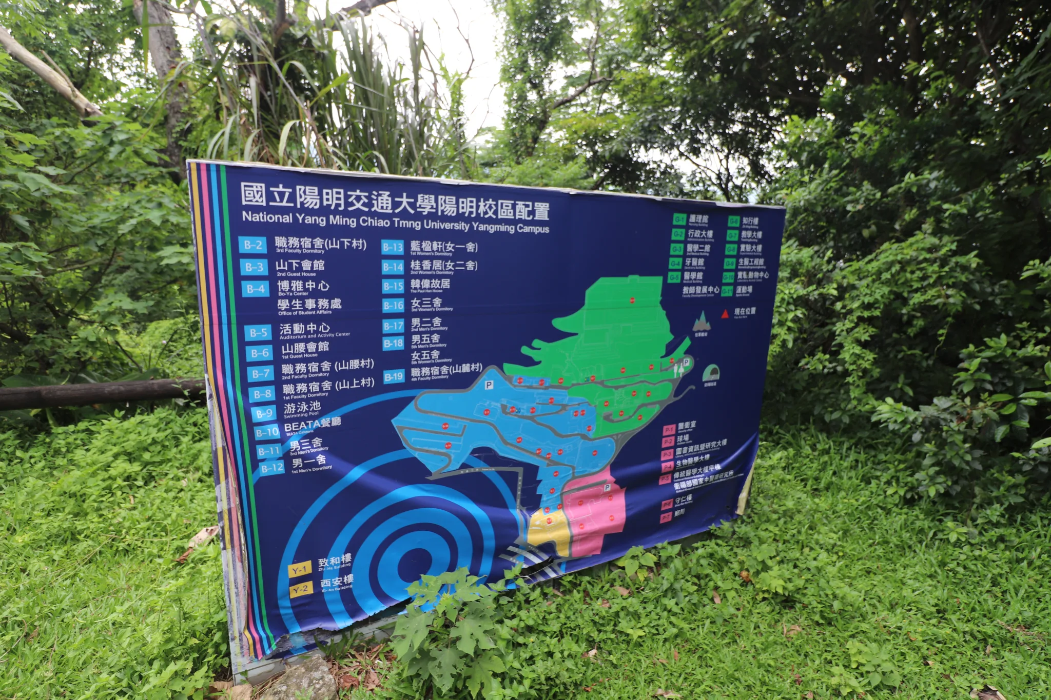
Campus map.
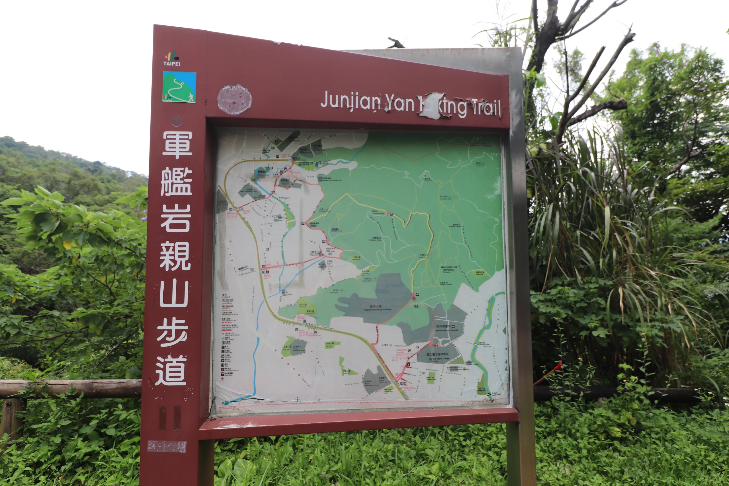
Map of the trail. As you can see, it goes from one area of Beitou to another.
It said 25 minutes to the top, but it took me longer than that with kids.
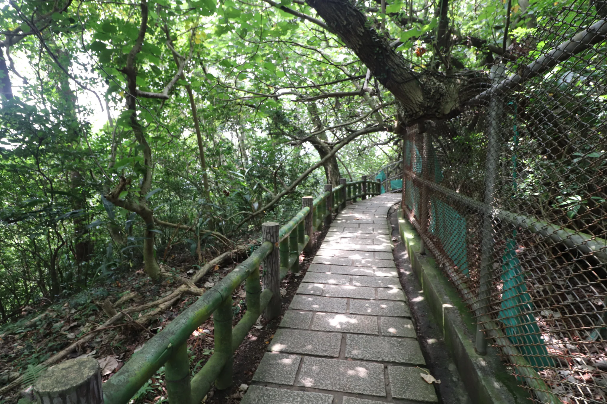
Stone steps with shade.
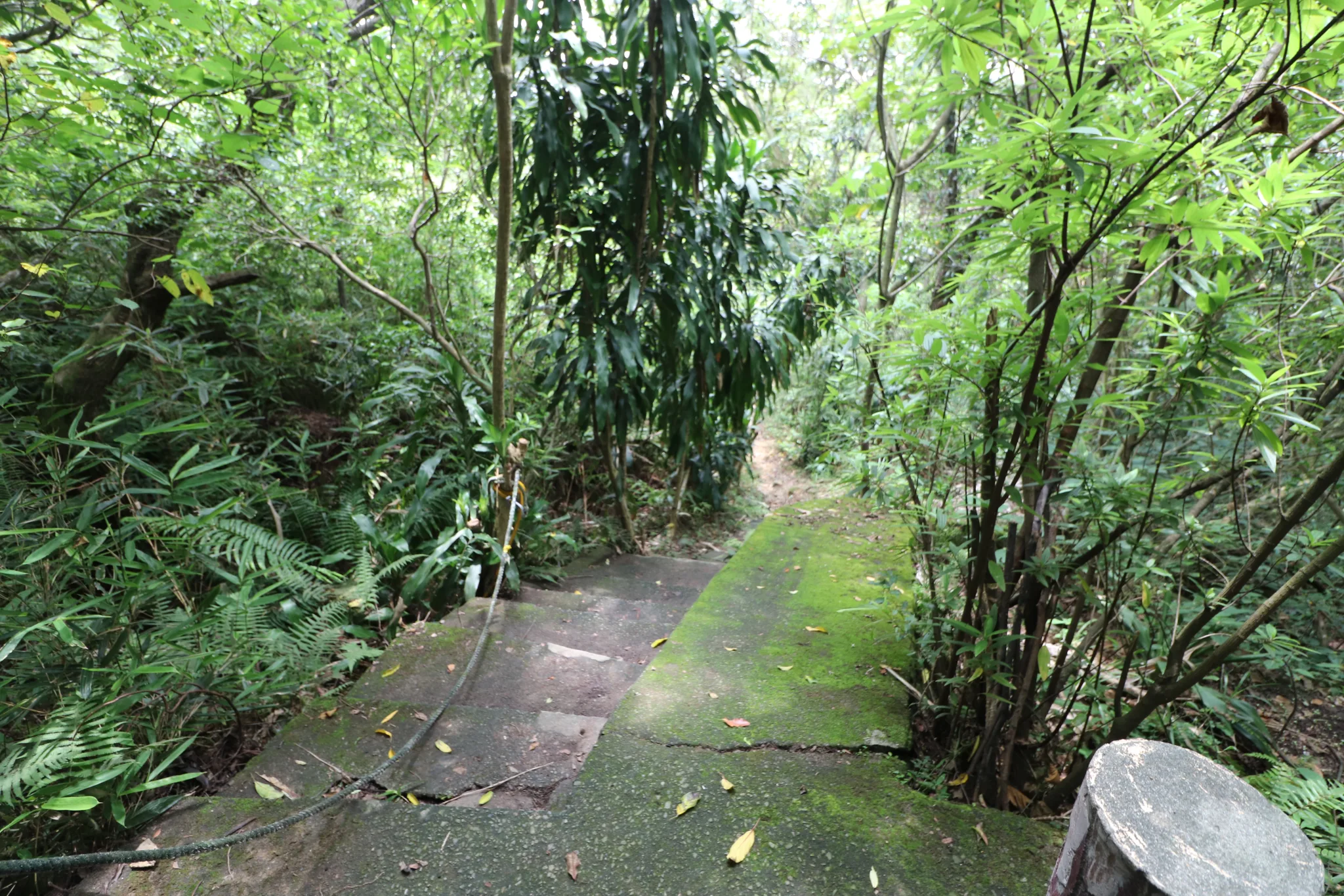
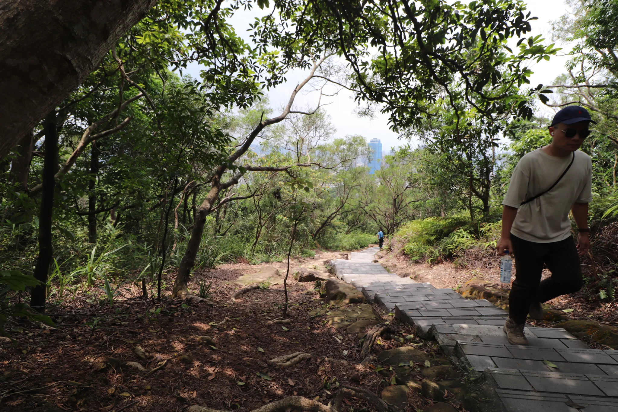
A path leading into the Jungle.
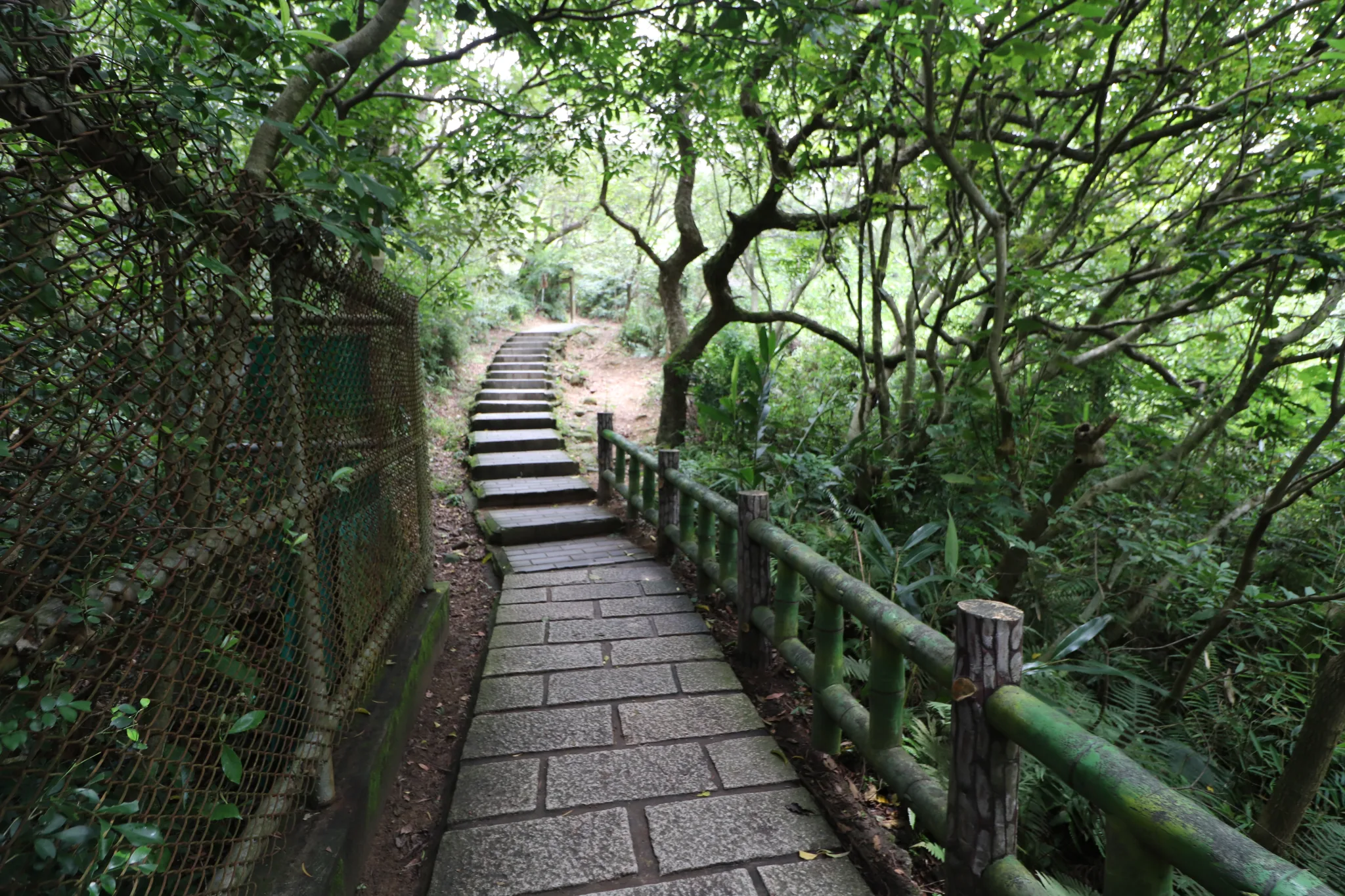
More shade and stone steps.
Five minutes into the hike.
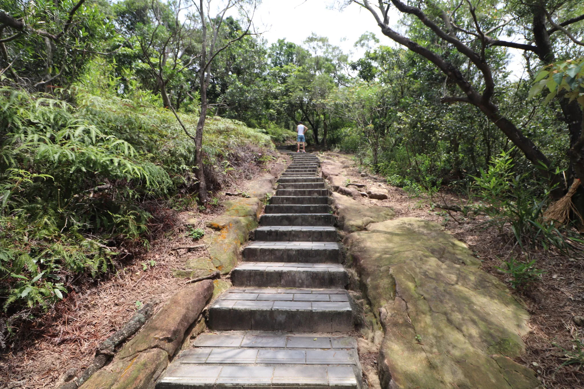
After that, the hike is pretty bare, and the sun can get you.
But there are some spots with shade along the way.
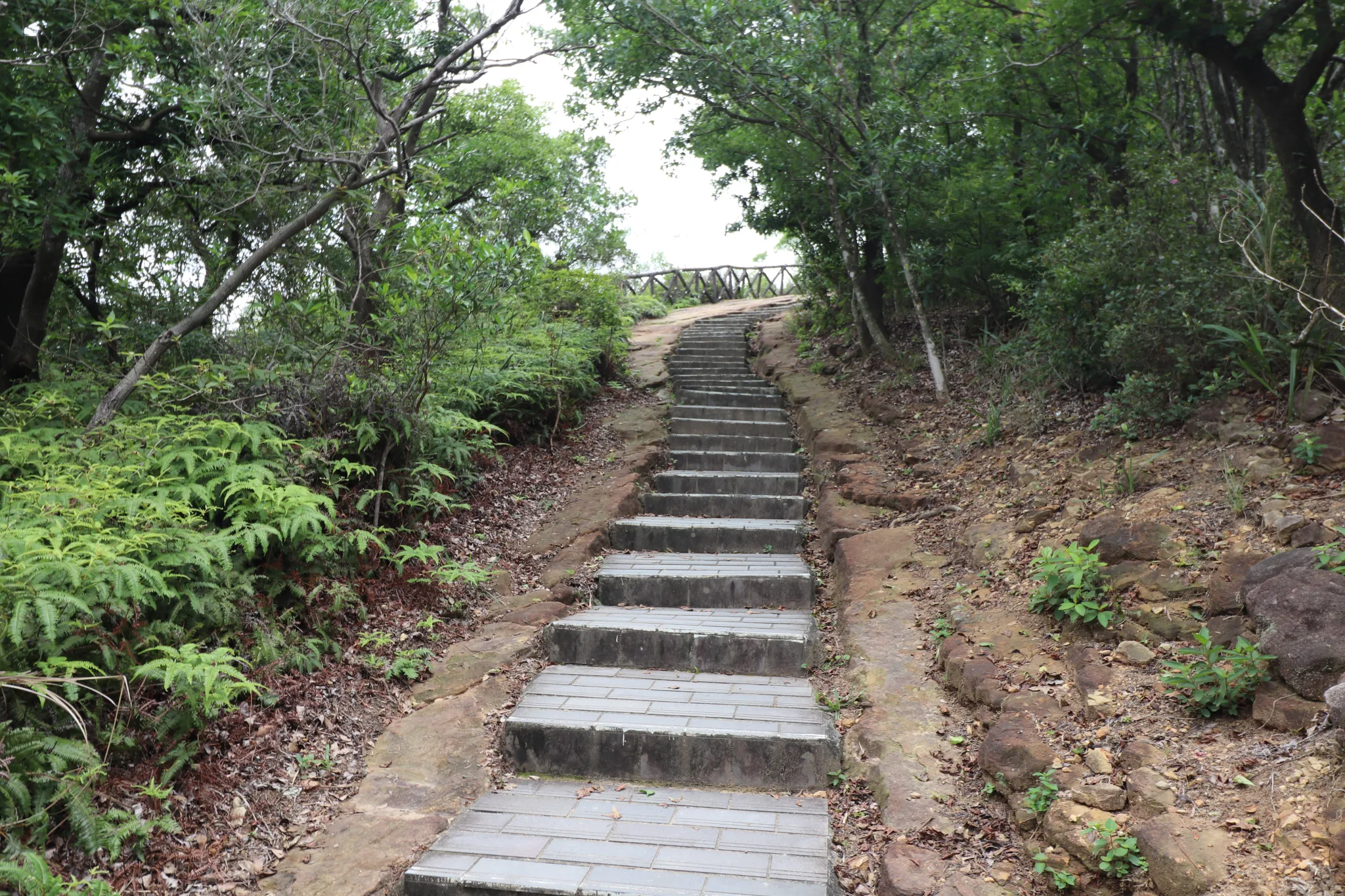
It is pretty much stone steps all the way to the top.
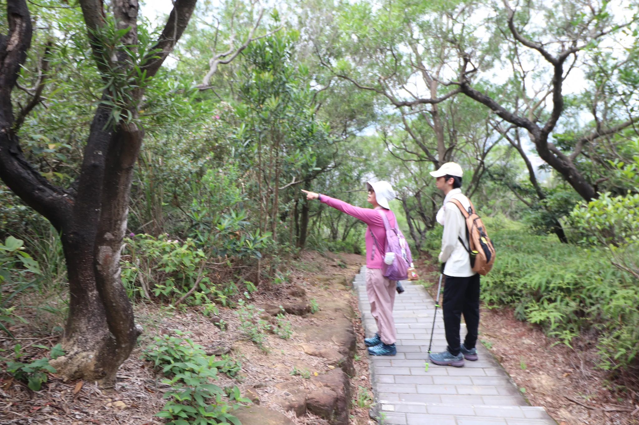
Some people stop to enjoy the wildlife.
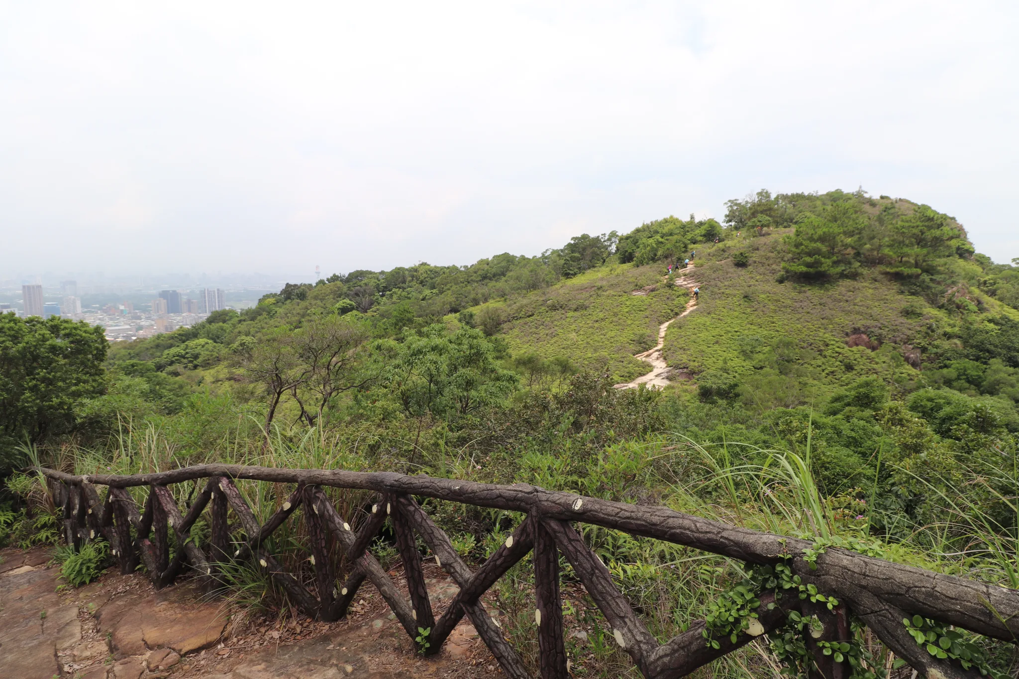
There is another trail that extends to the opposite hill, too.
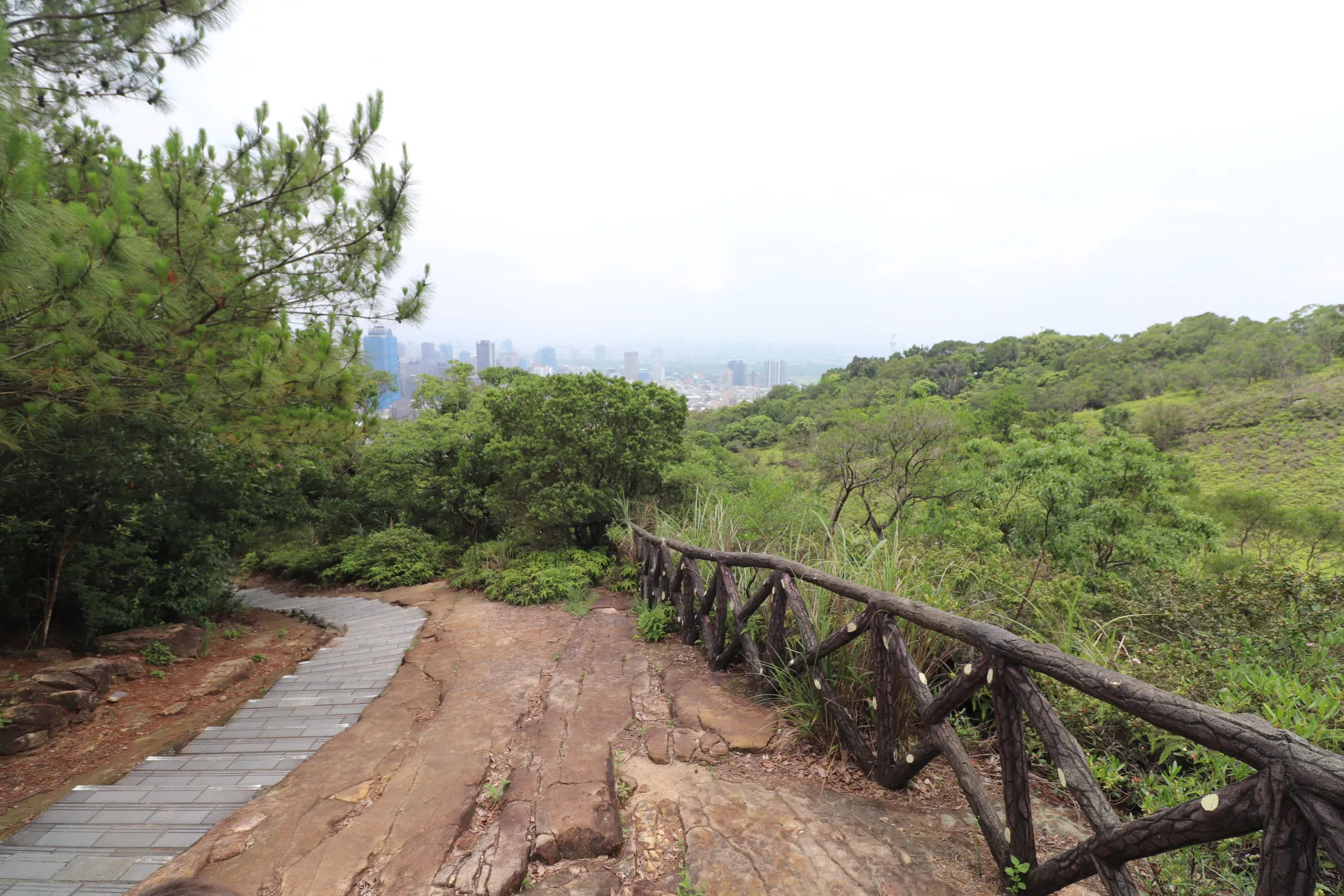
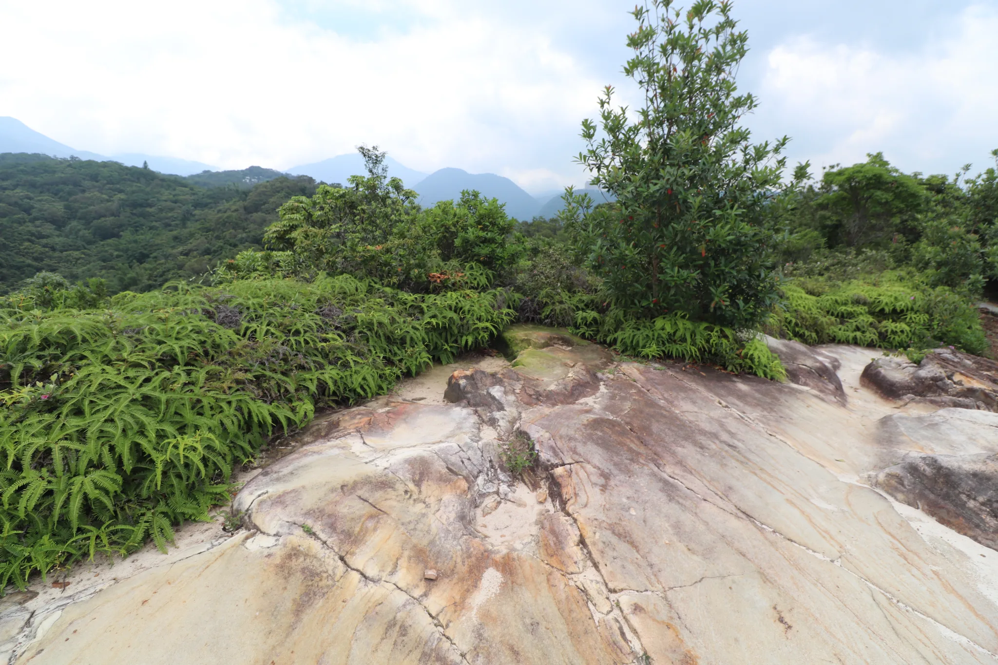
You are pretty much walking on a flat rockface.
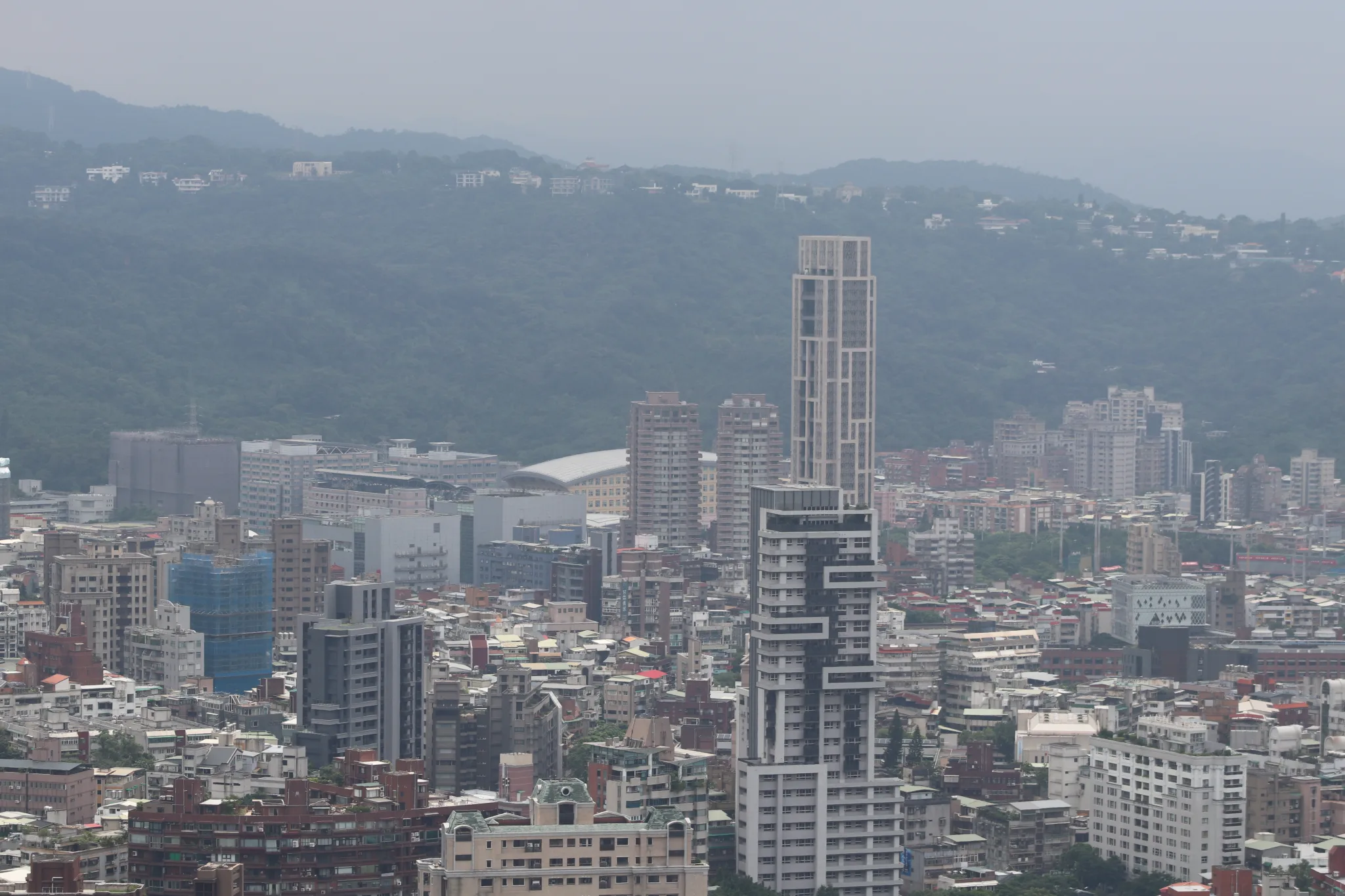
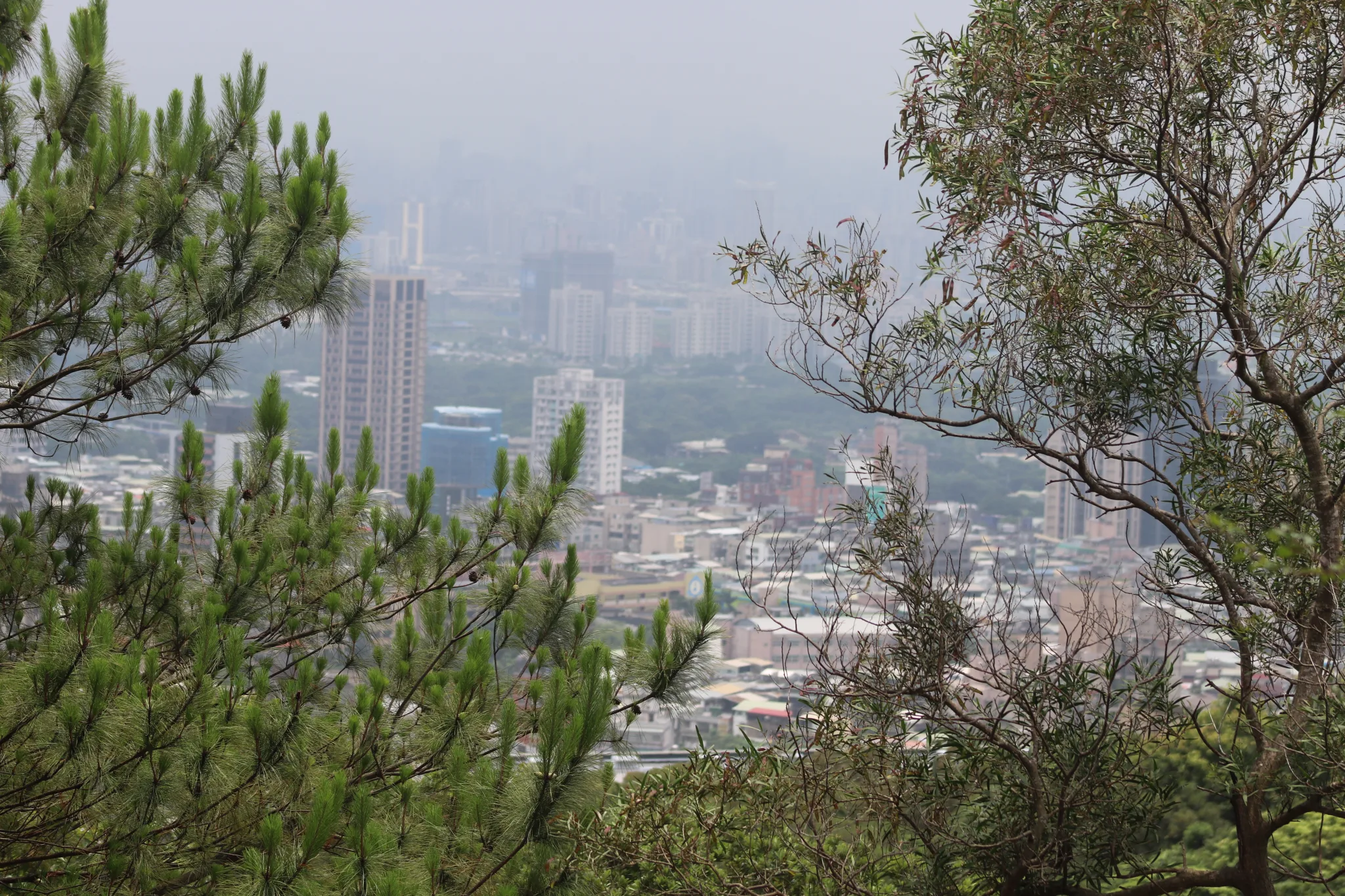
View of a hilly neighborhood in Beitou.
Another view of Beitou.
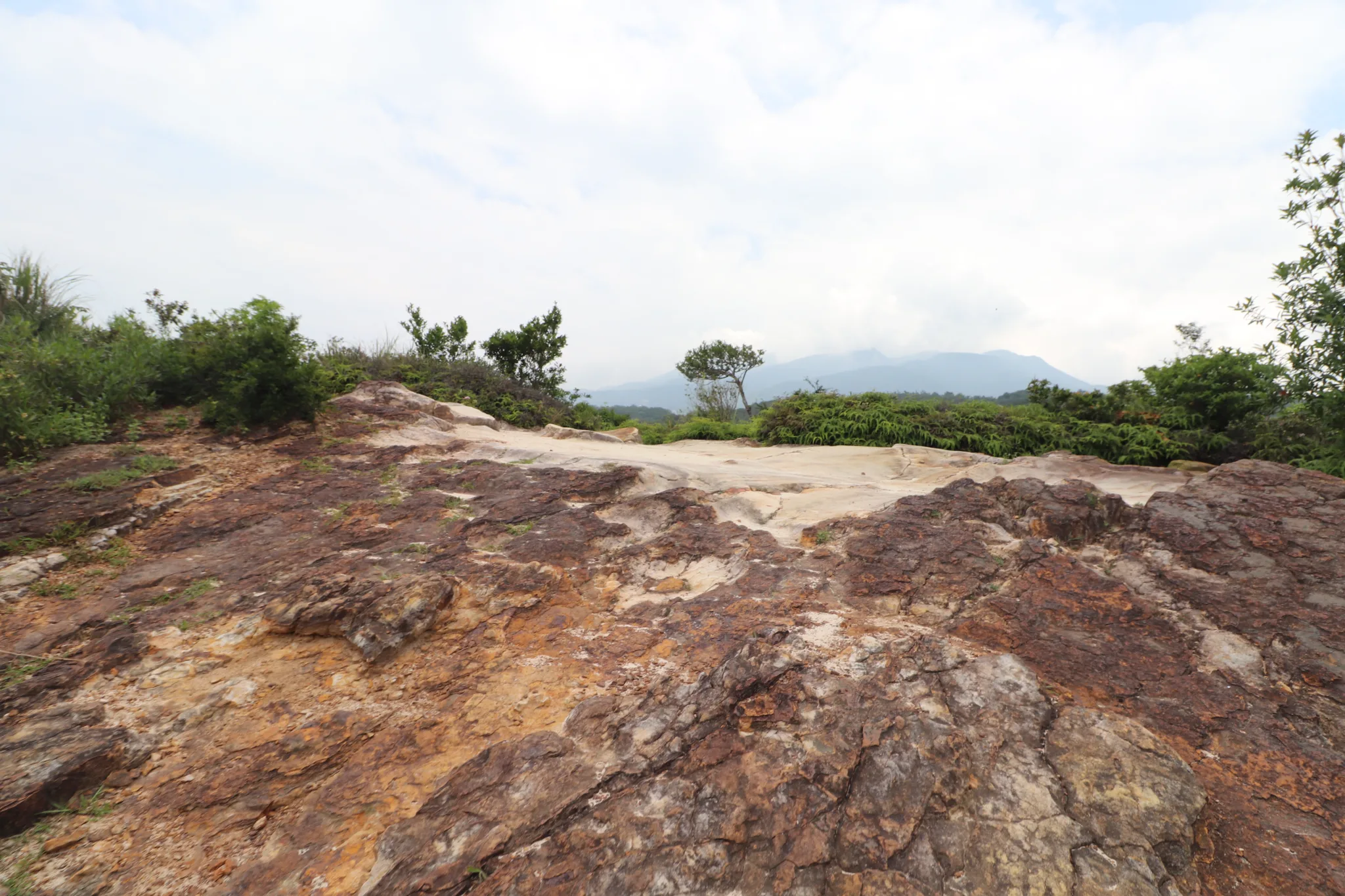
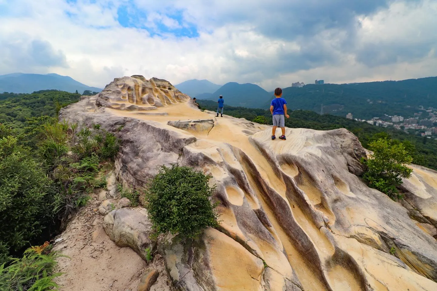
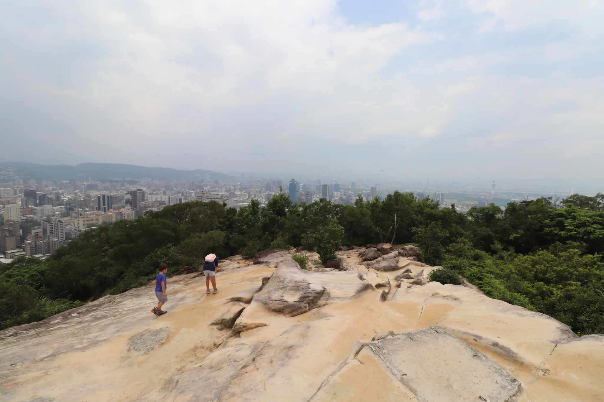
Sandy top of the mountain.
Another view of the rocky top, but it was not the very top.
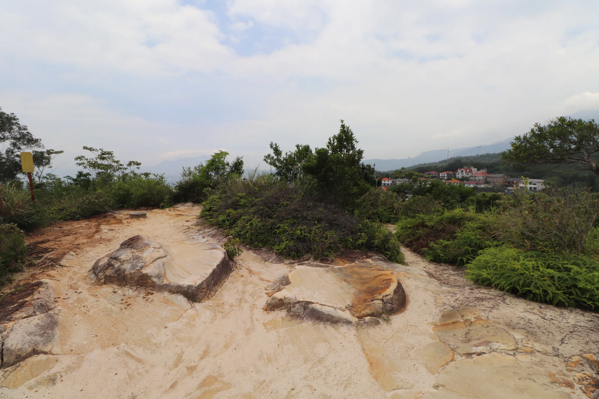
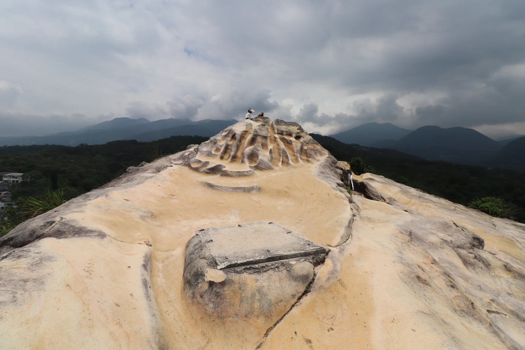
The sandtone here has eroded mainly from wind and water, making a pile of sand at the top.
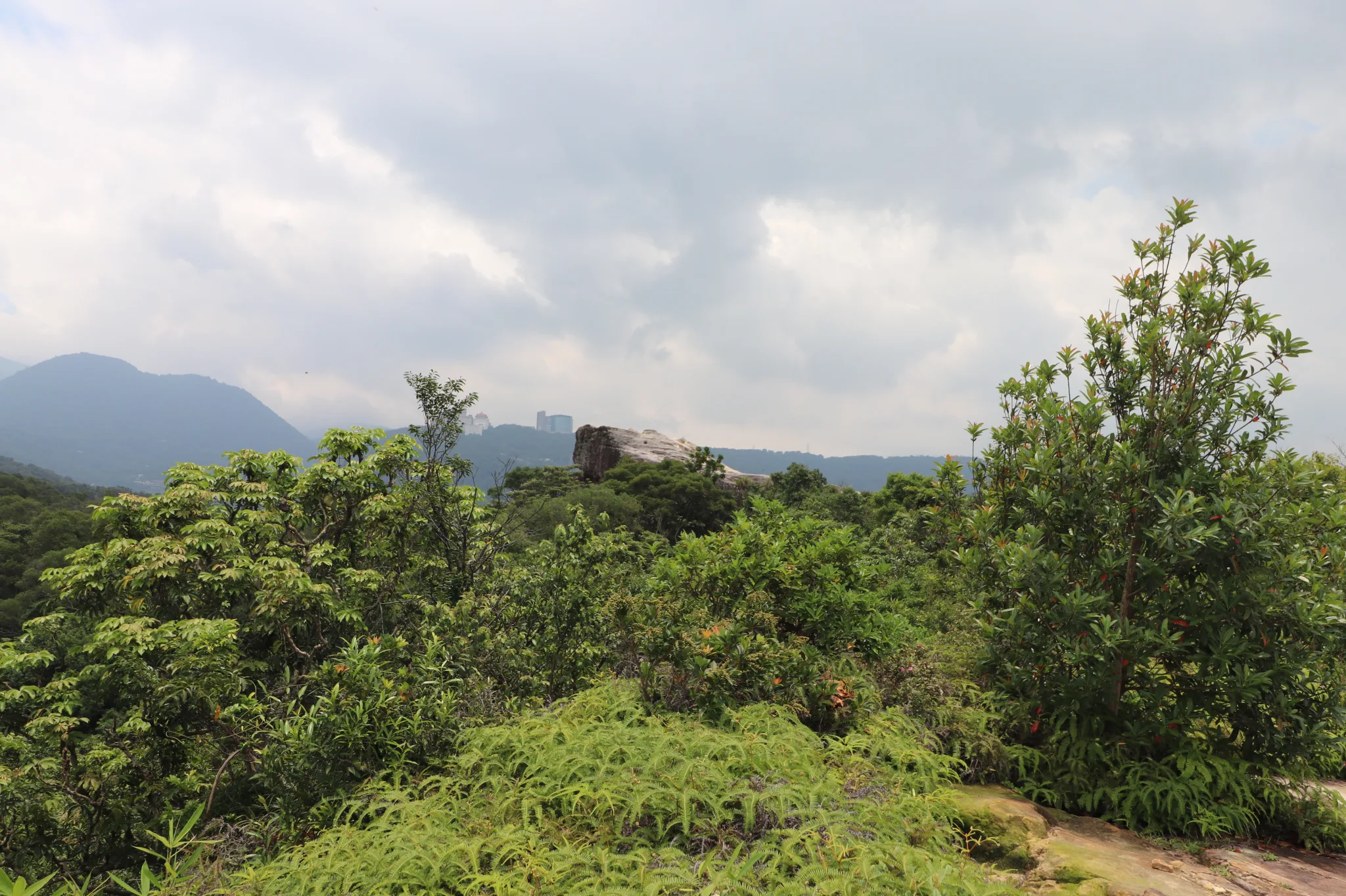
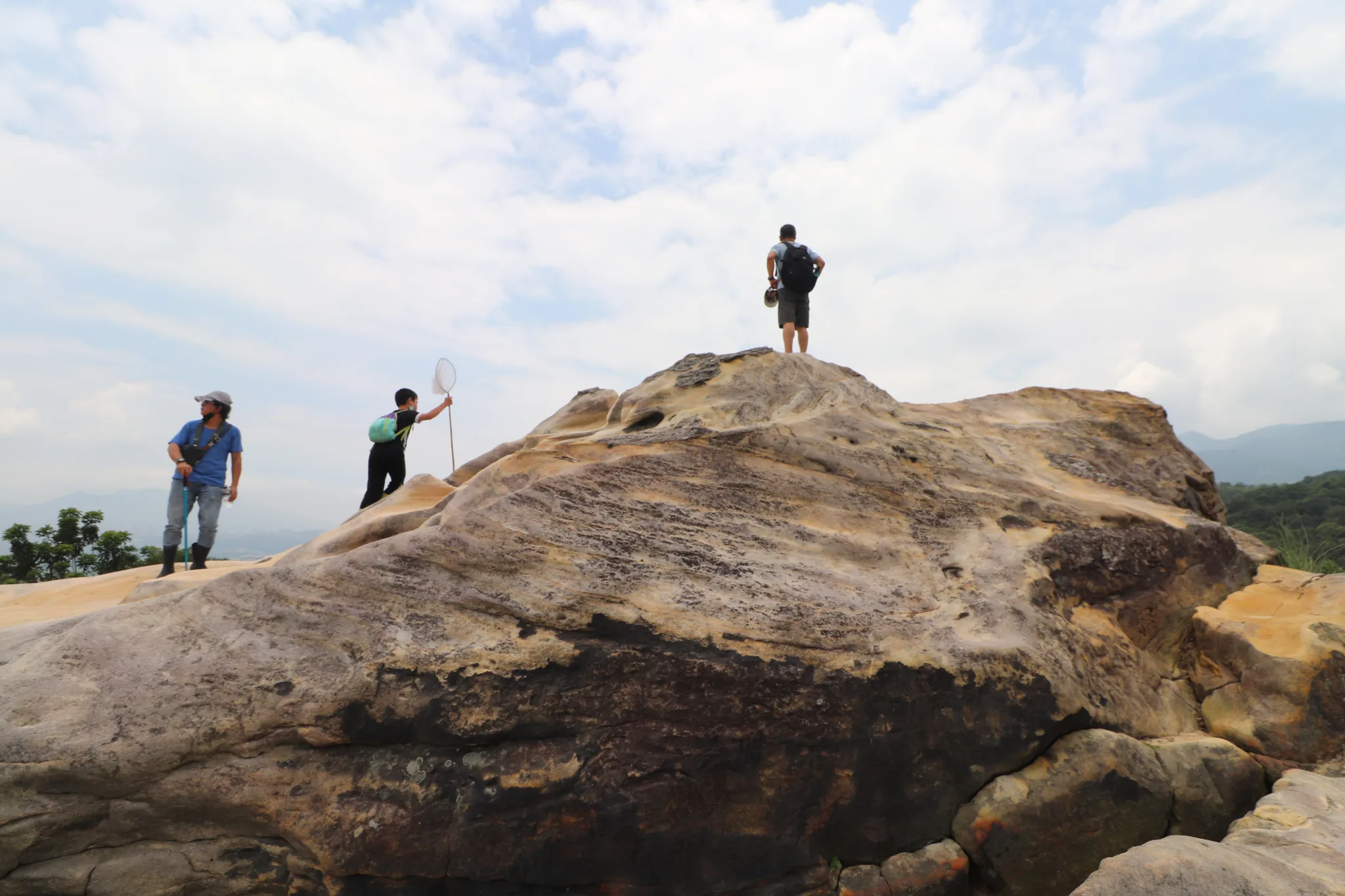
First view of the Battleship Rock.
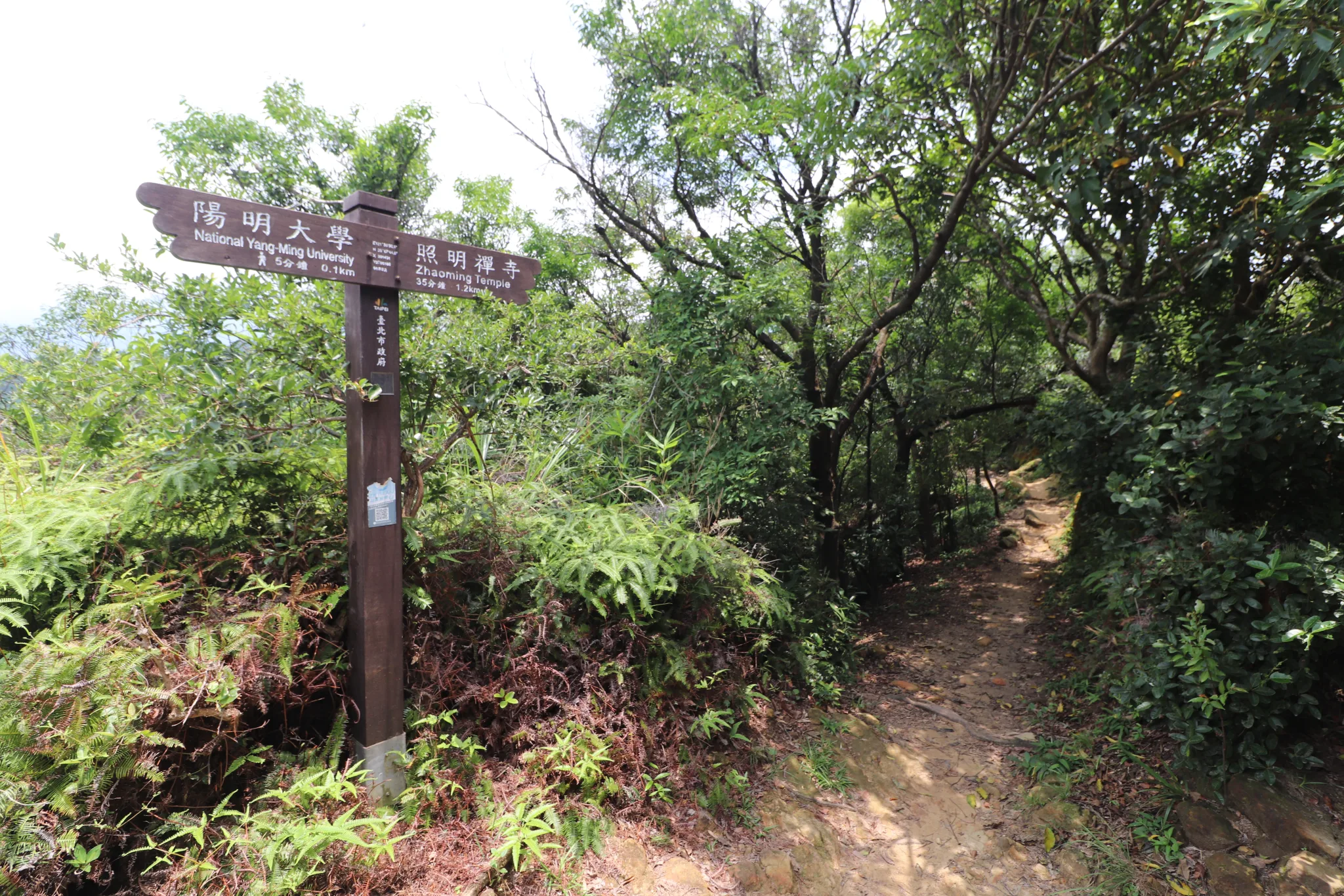
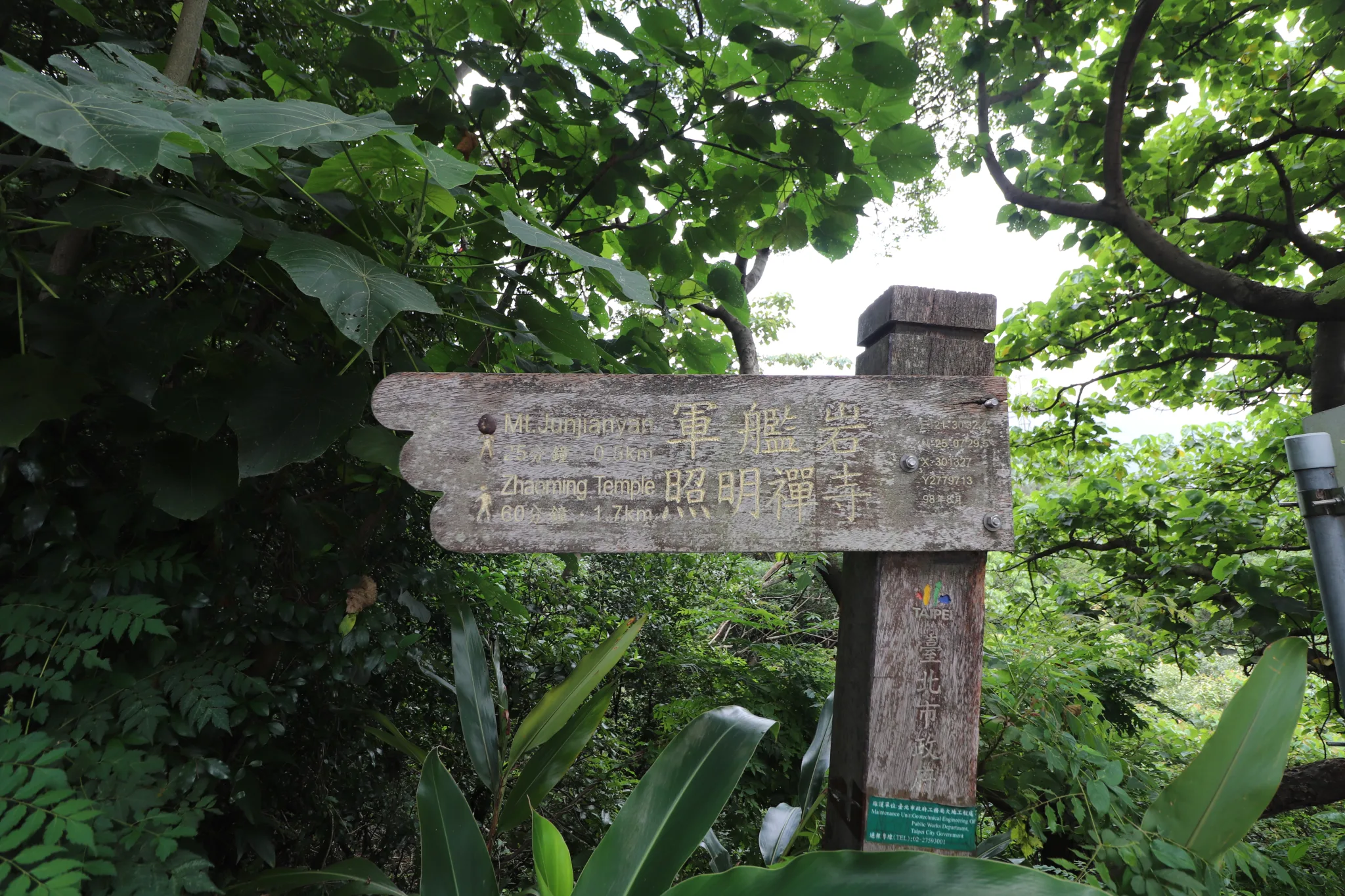
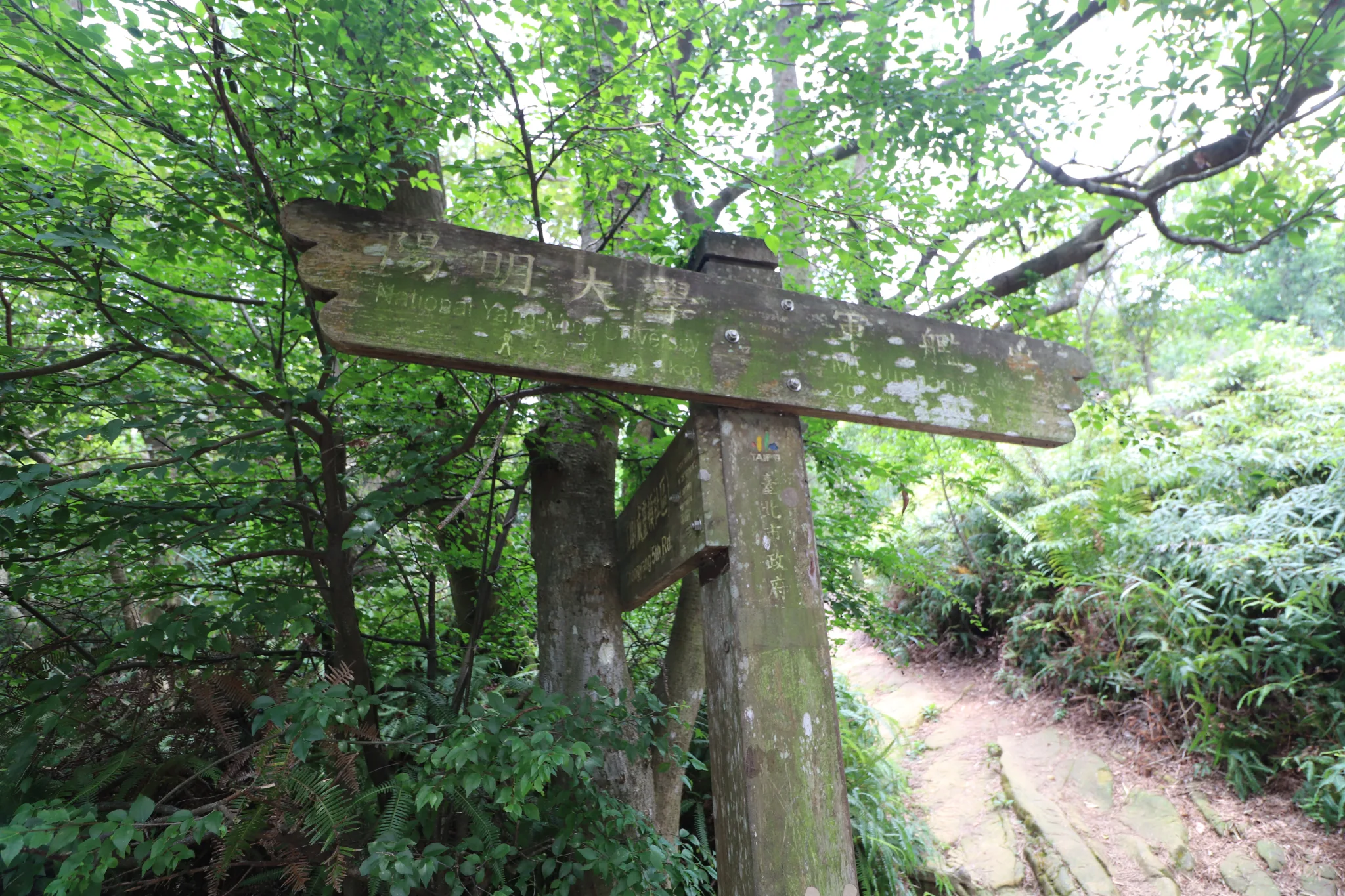
This trail leads to another trailhead near Zhaoming Temple.
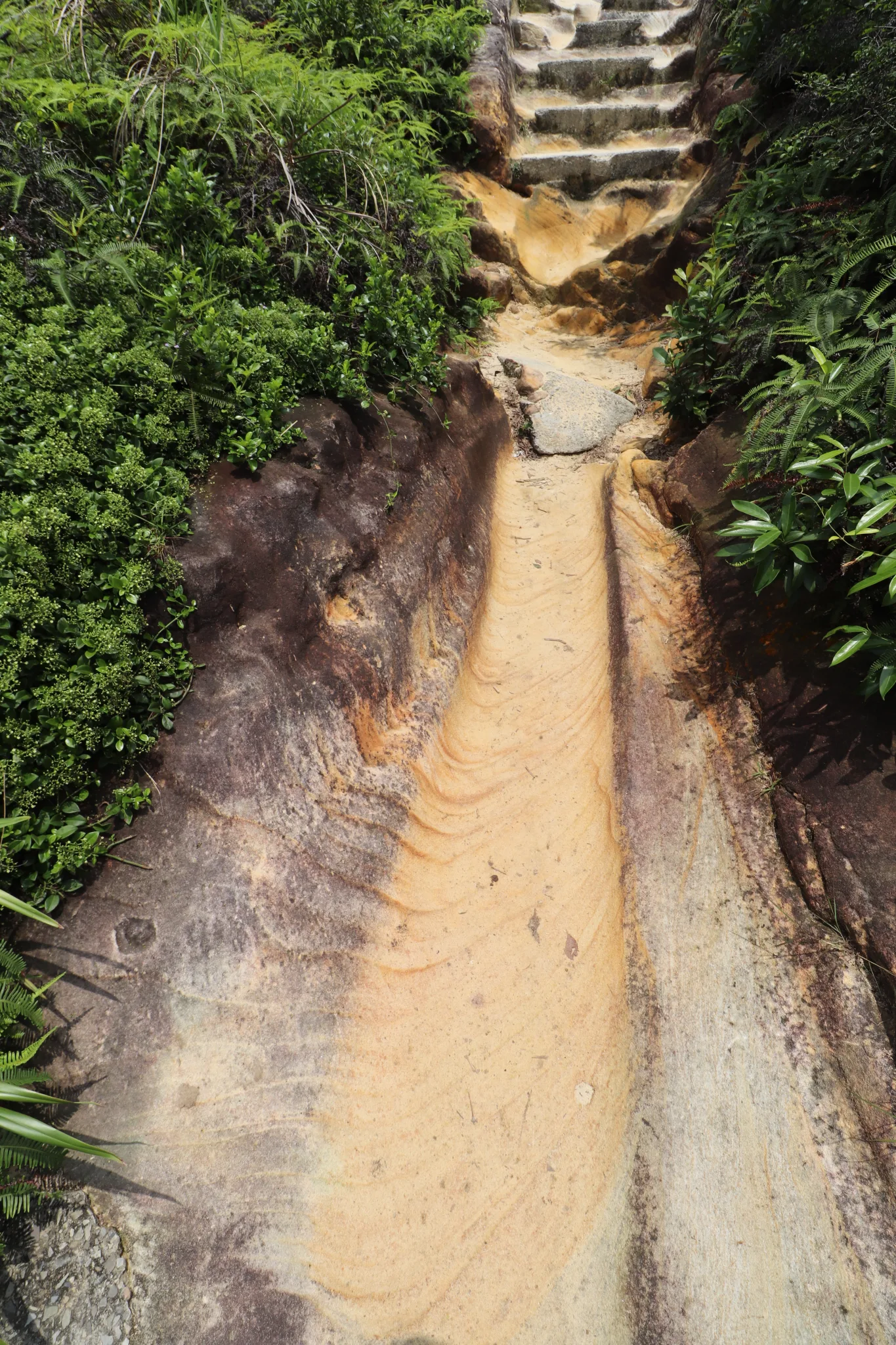
Stairs and a pathway carved into the sandstone.
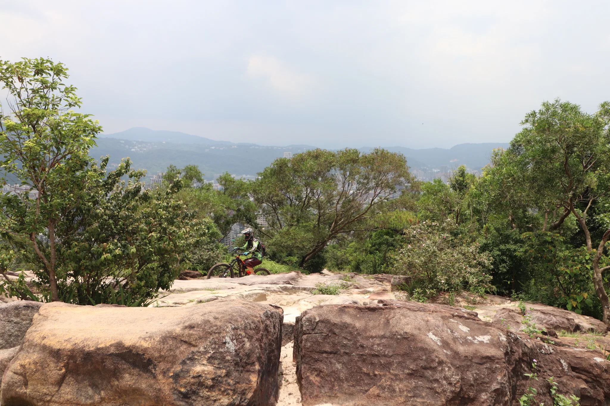
Appearently this is also a great location for mountain biking!
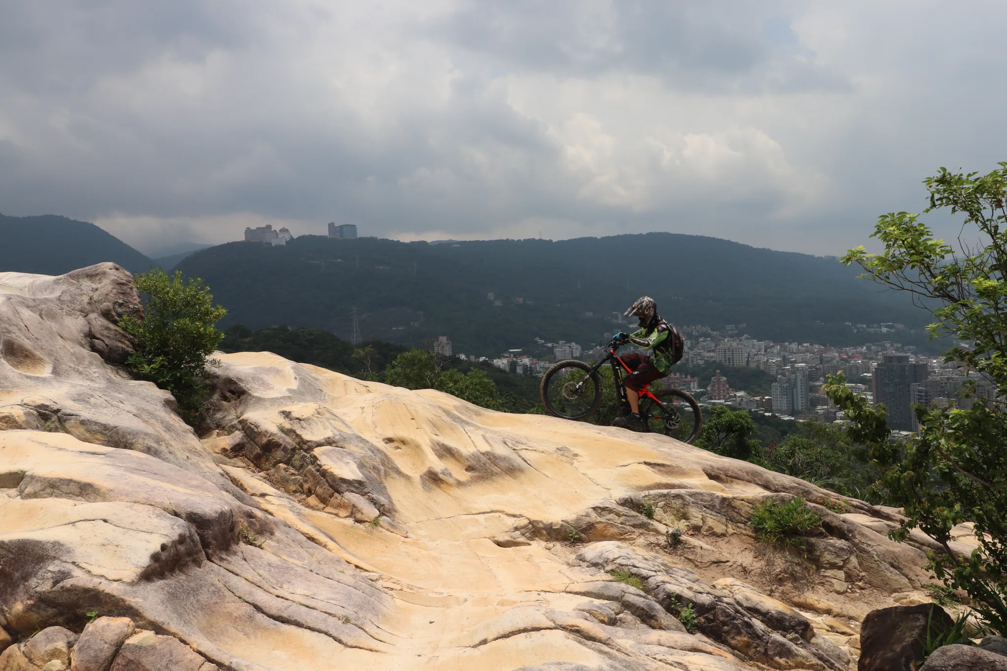
Another view of the mountain biker we saw.
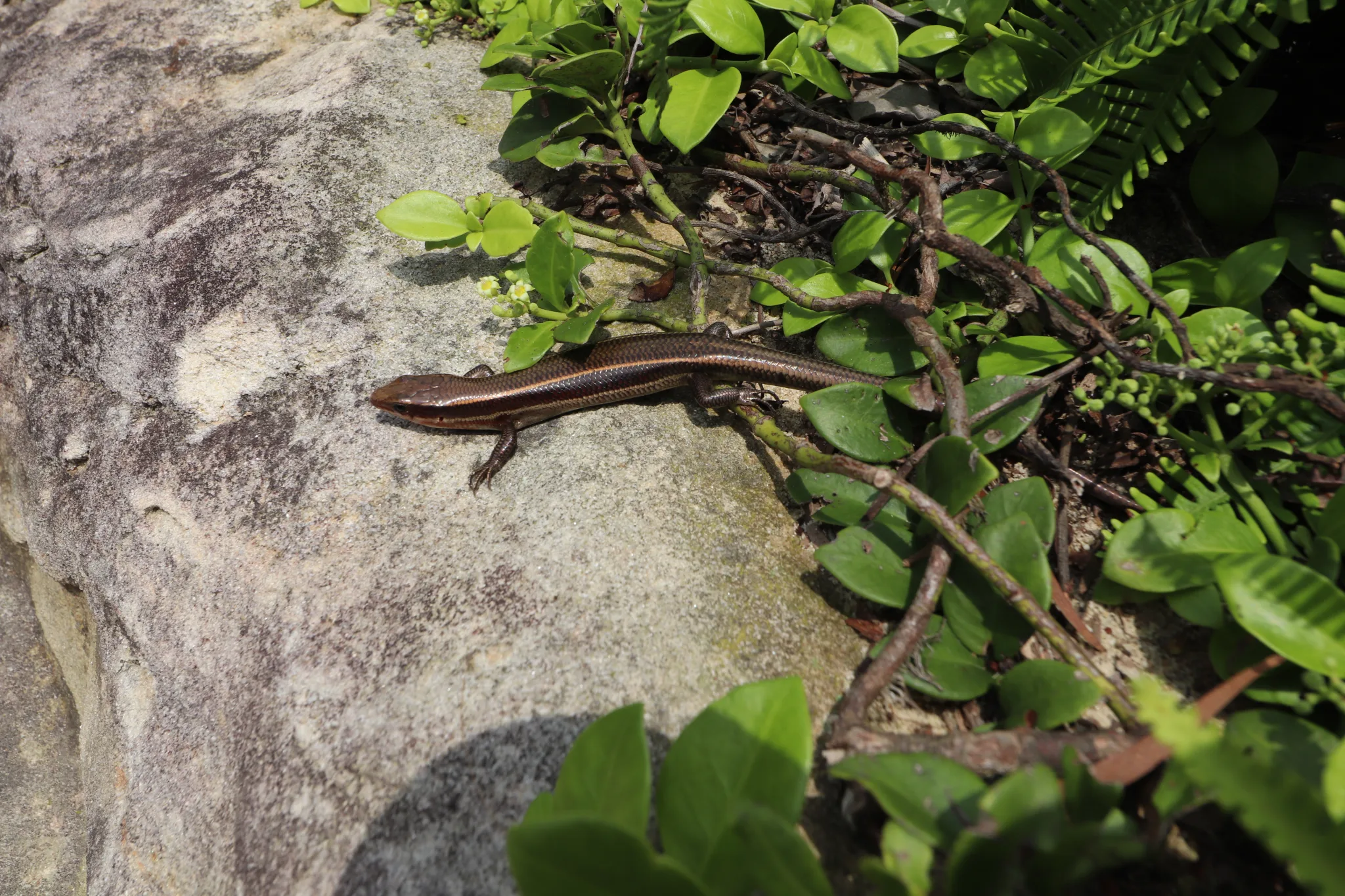
A skink on the trail.
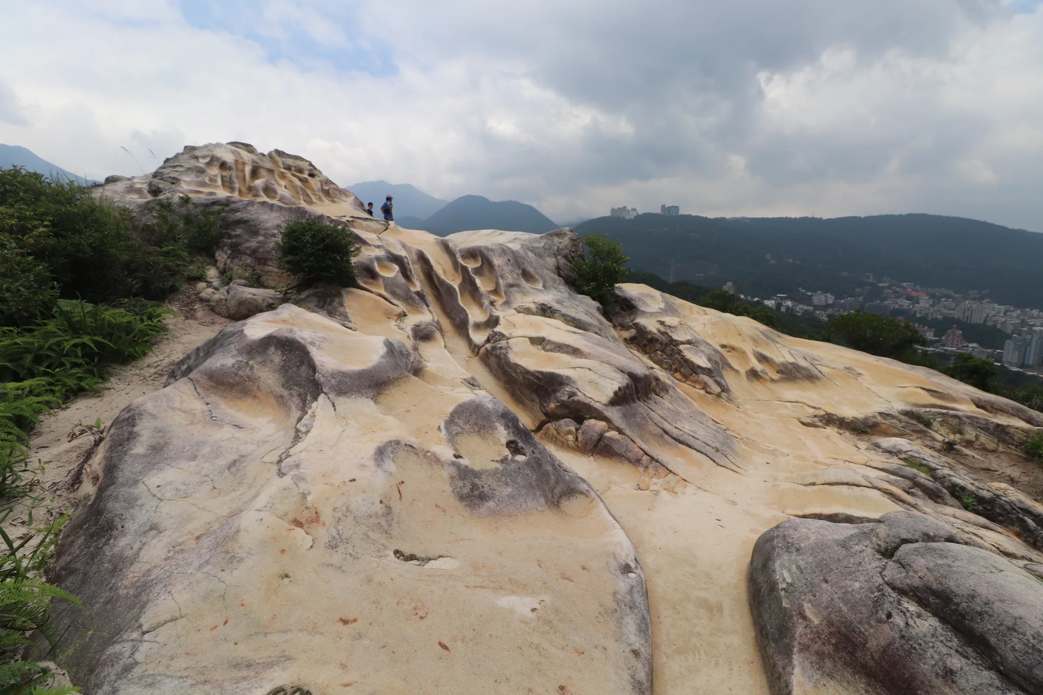
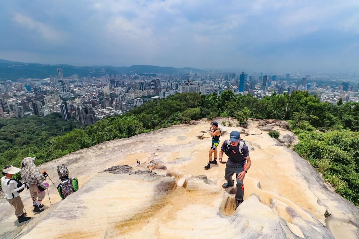
The smoothed surface of Battleship Rock.
The top of the rock has a rounded face.
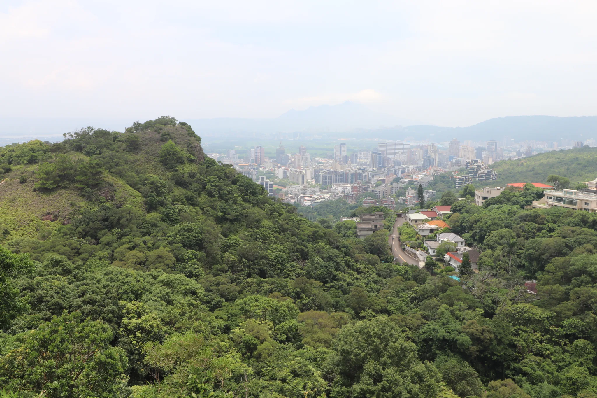
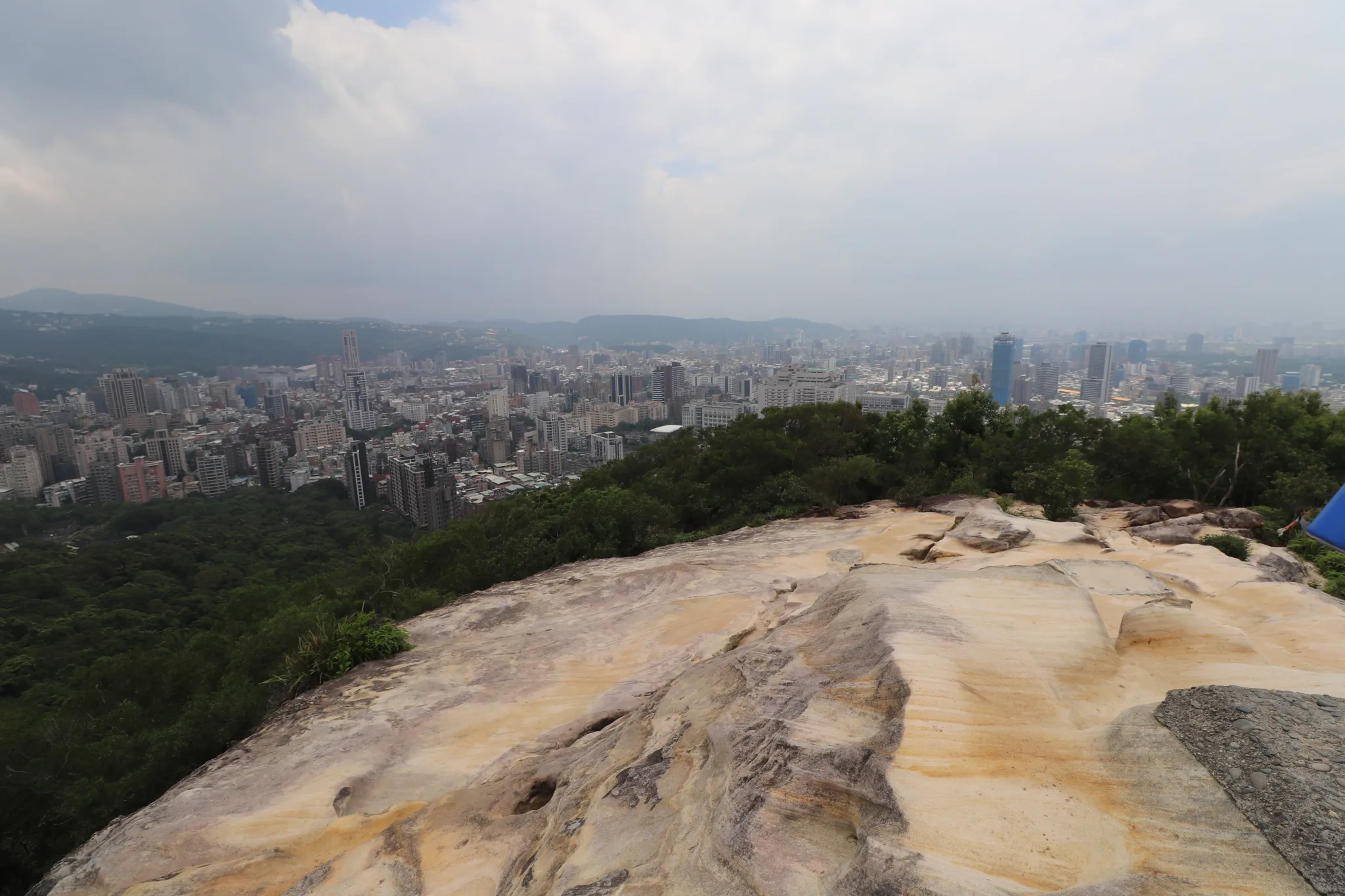
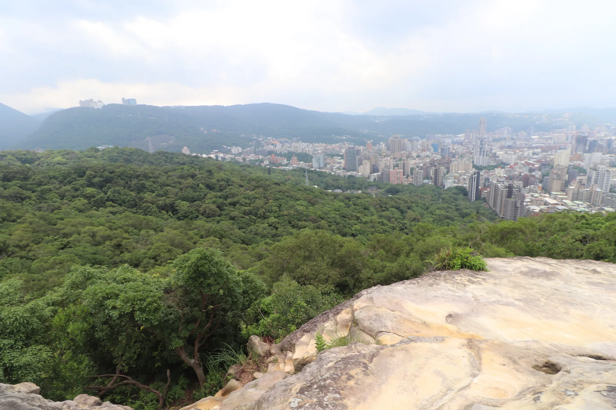
View looking back at Taipei from the top of the rock.
View of Beitou and Shilin.
View of Tianmu underneath China Cultural University.
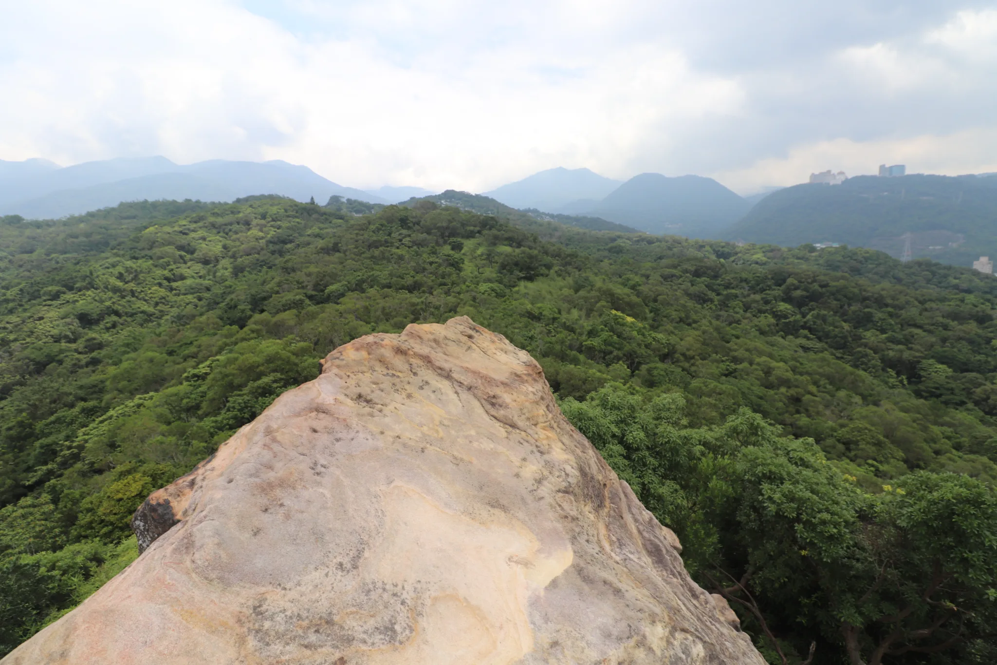
View looking back at Yangmingshan.
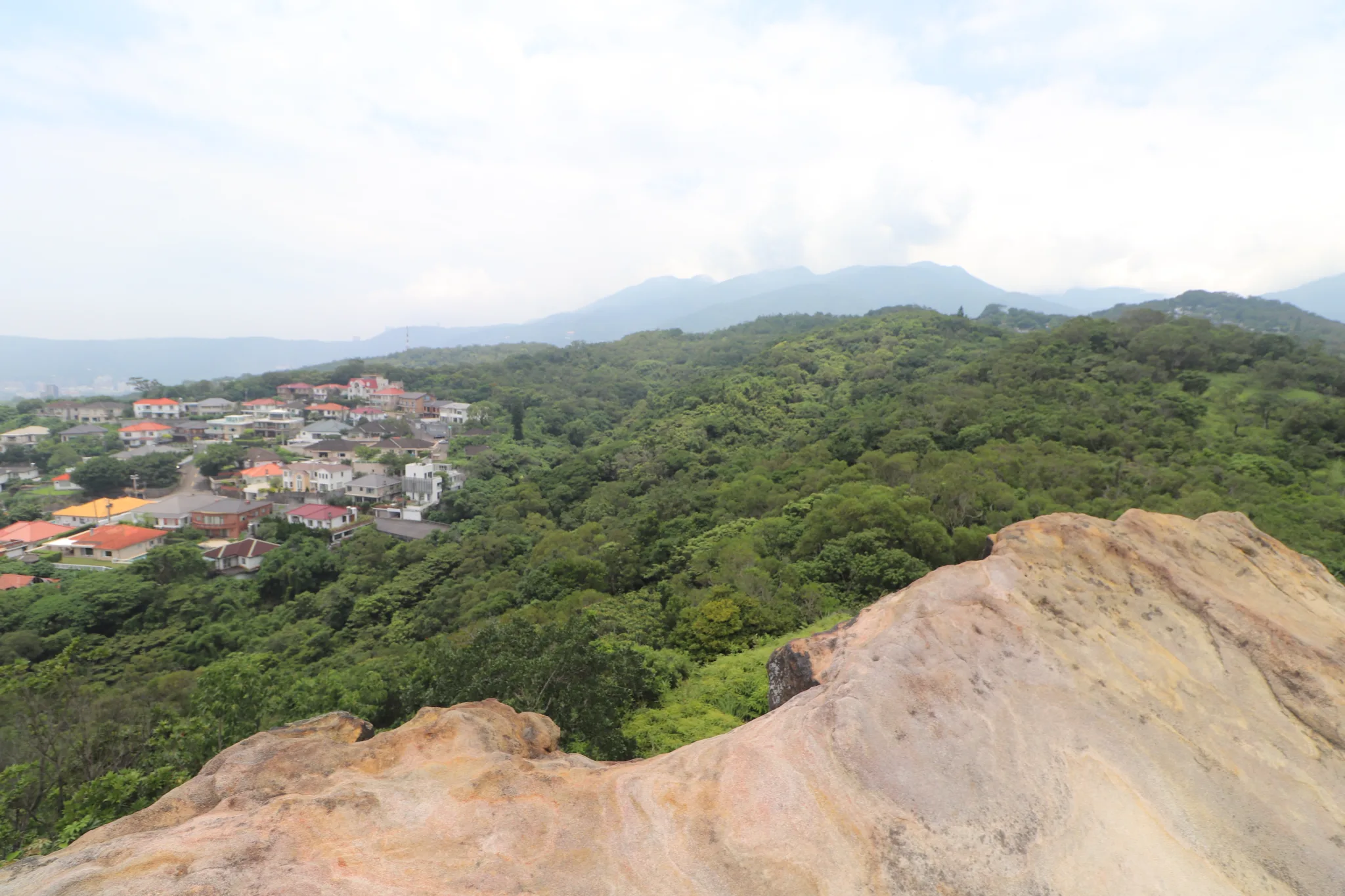
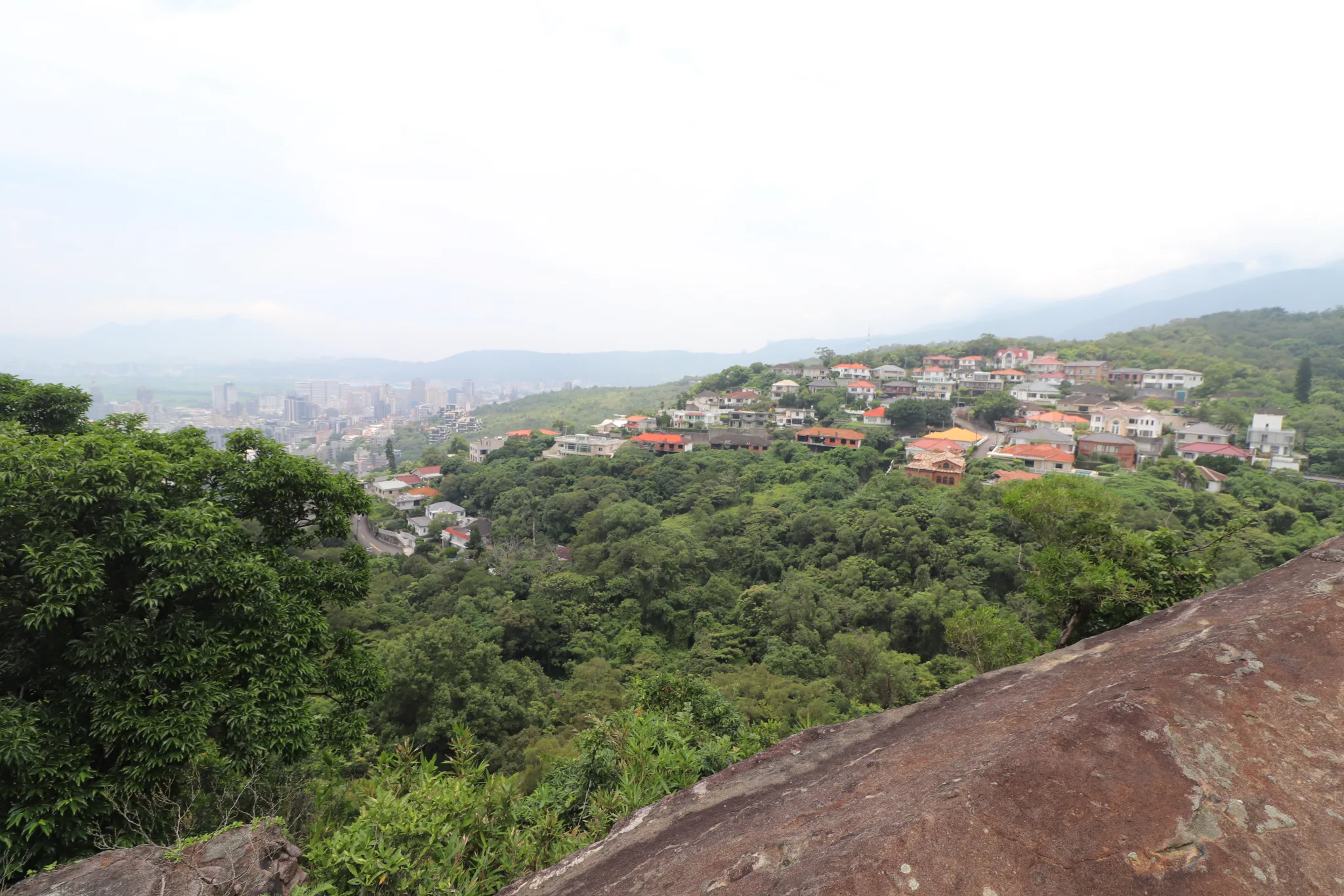
Another view of the Beitou mountain village.
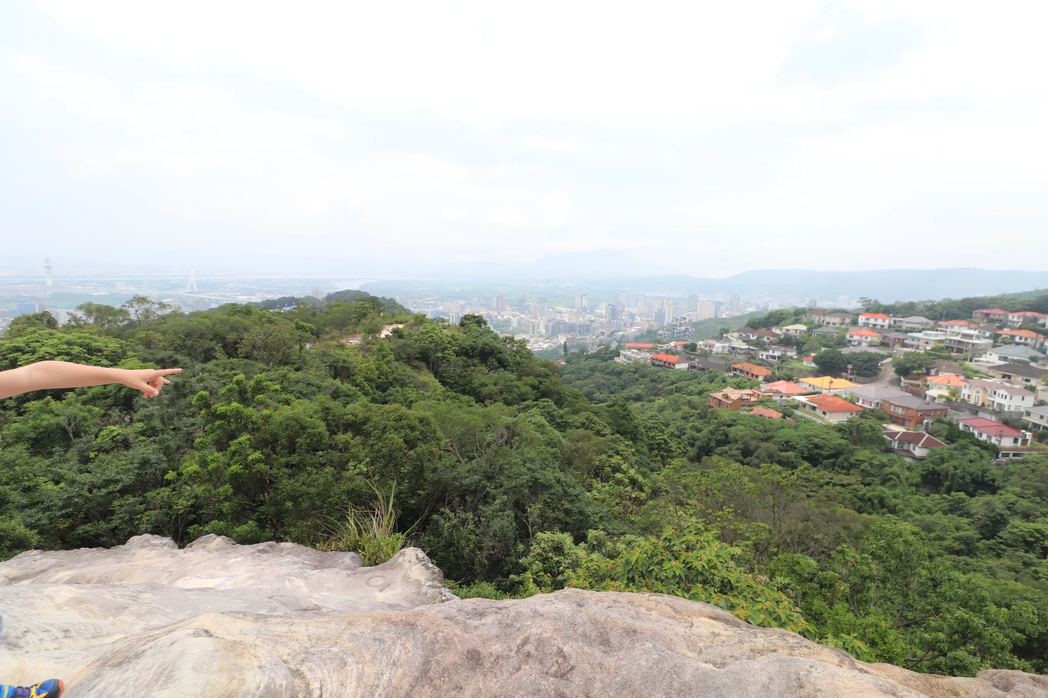
View looking down at Beitou.
Another view behind the rock.
Another view from on top of the rock.
View straight on near the top.
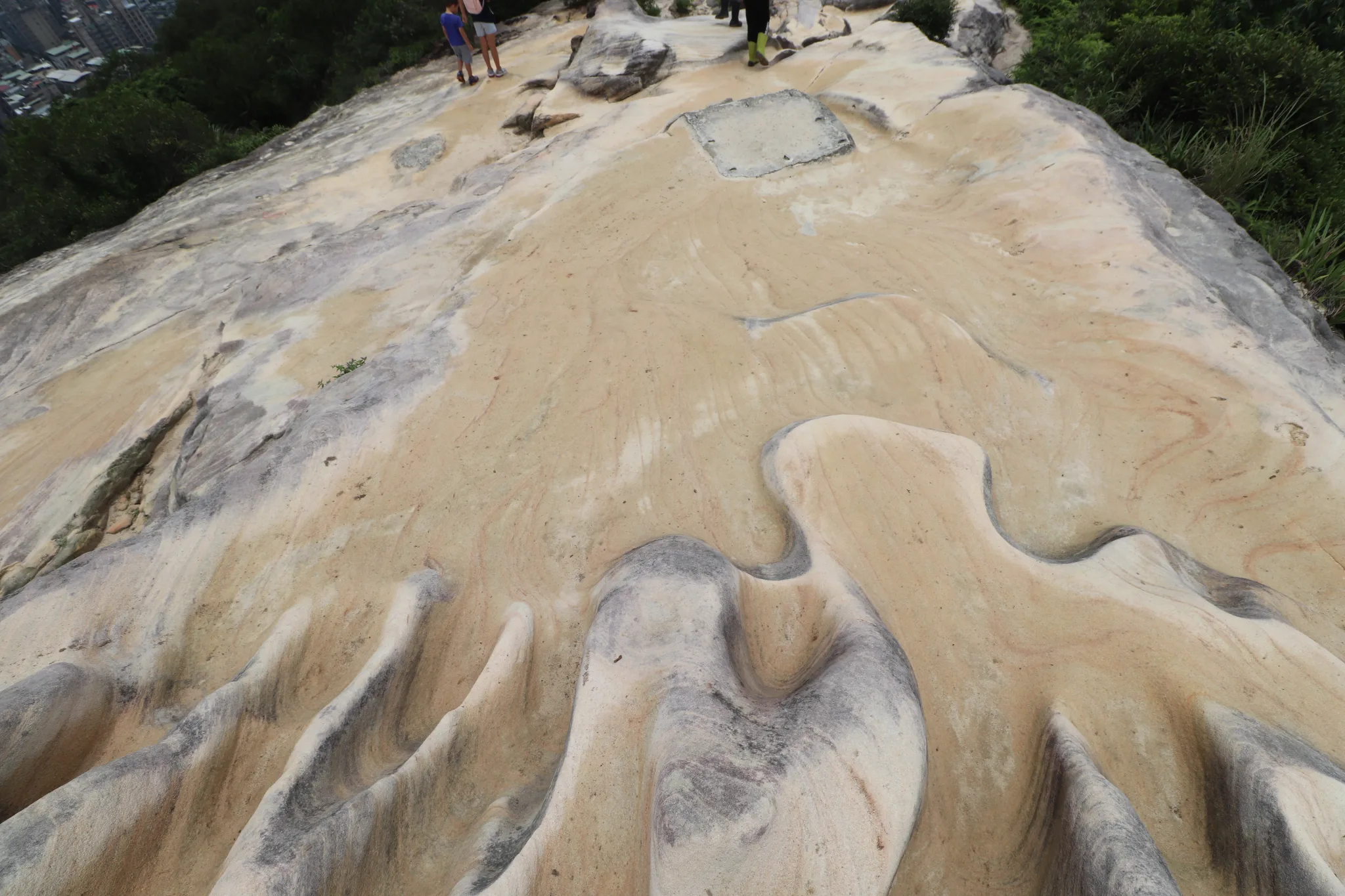
Looking down at the sandstone formations.
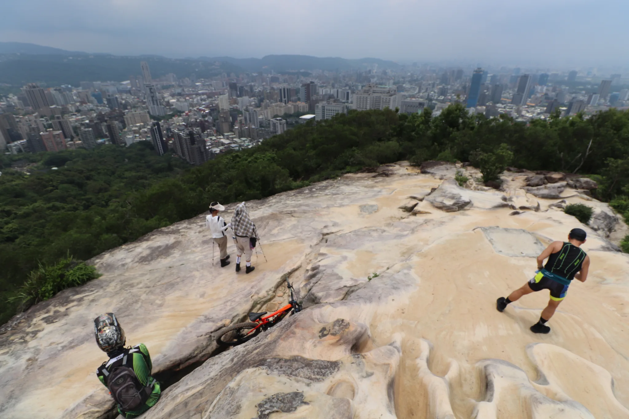
Hikers and biker resting at the top.
Closeup on Tianmu.
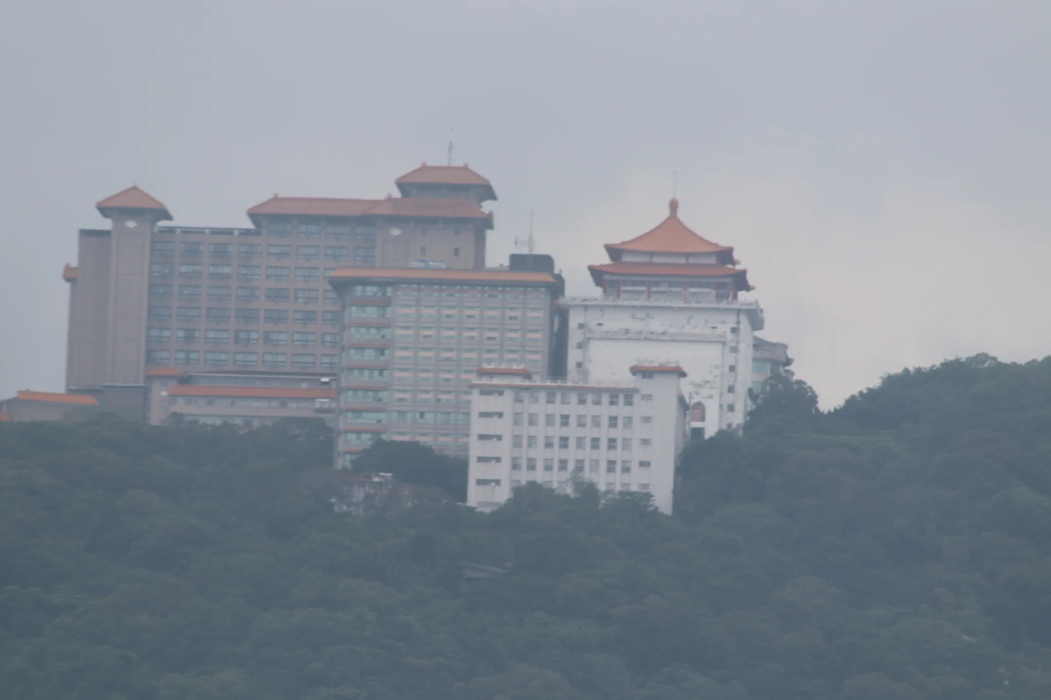
View looking up at China Cultural University.
Another building at China Cultural University.
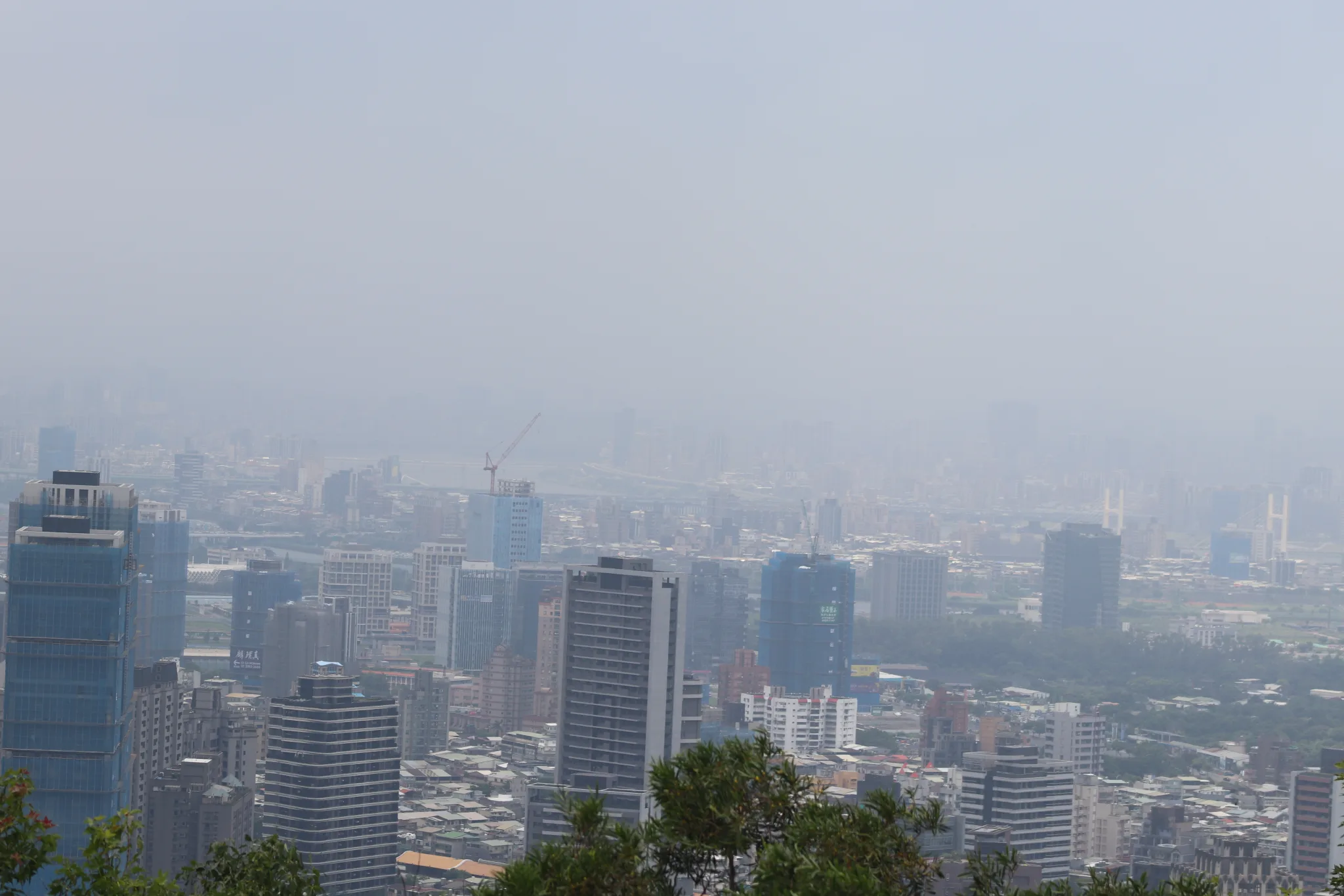
Looking back at a hazy Taipei.
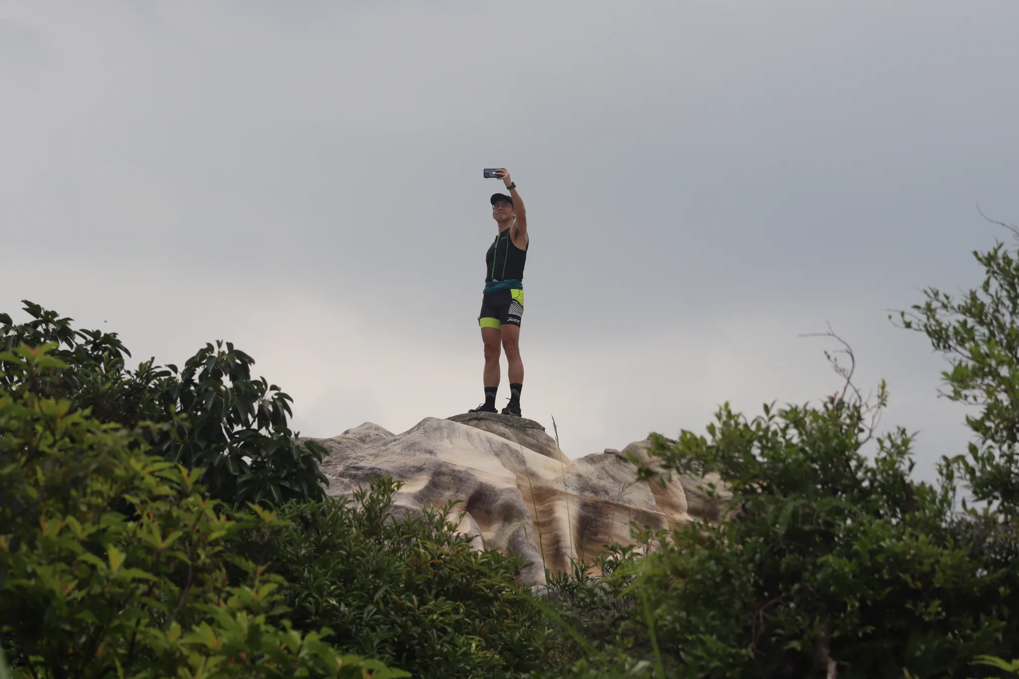
A man takes a selfie on top of the rock.
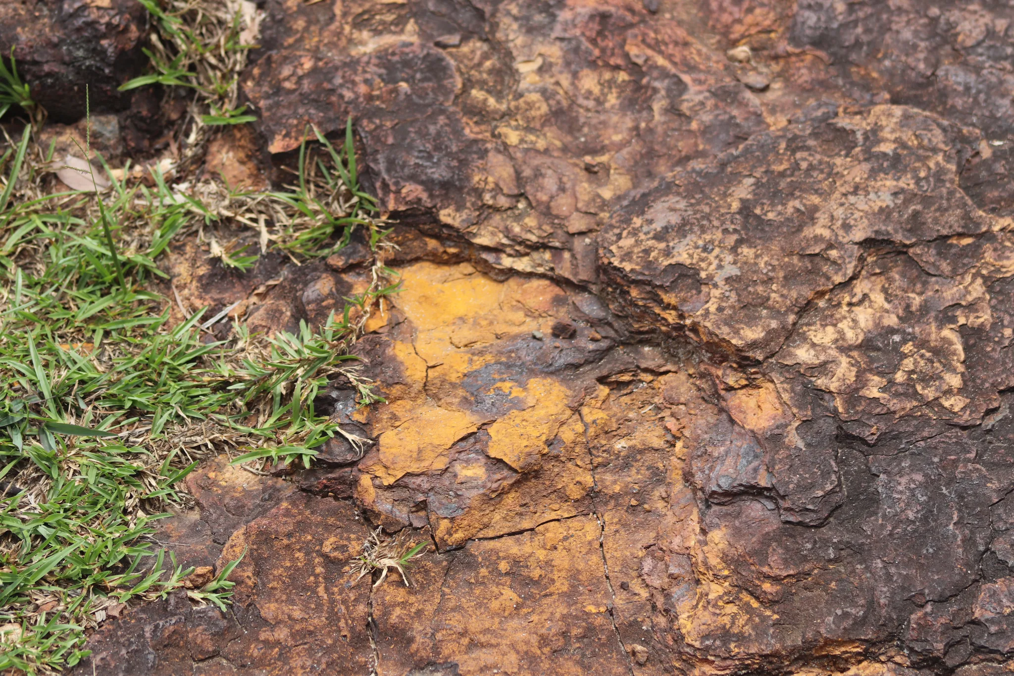
Iron ore in the rock.
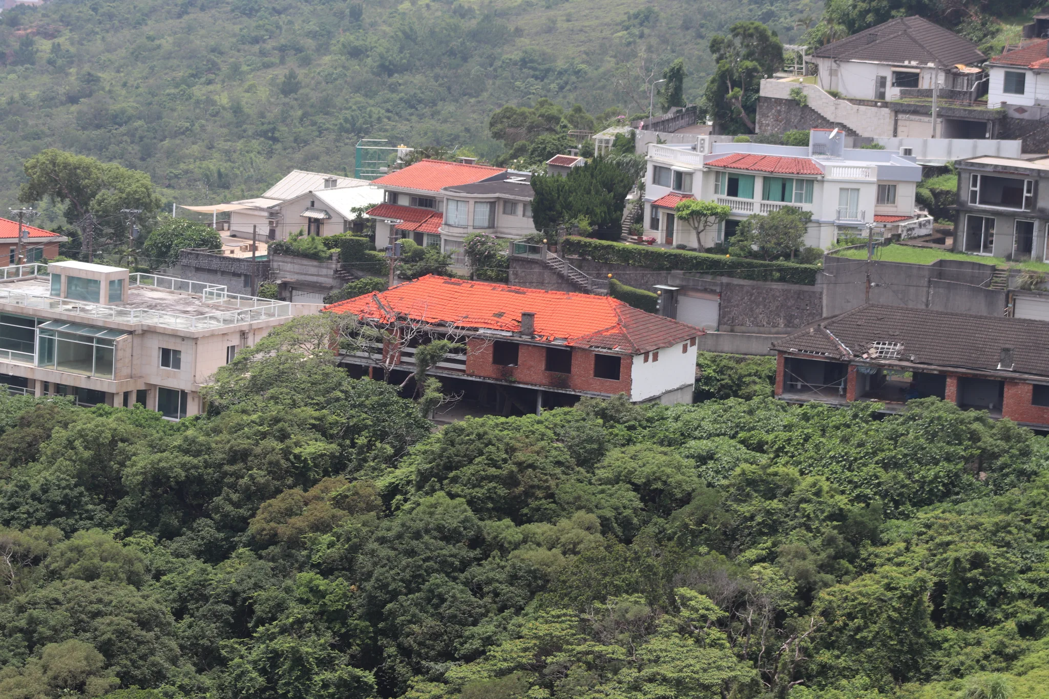
You can see many houses on the hill near here were never completed or abandoned.

Closeup on one of the abandoned houses.
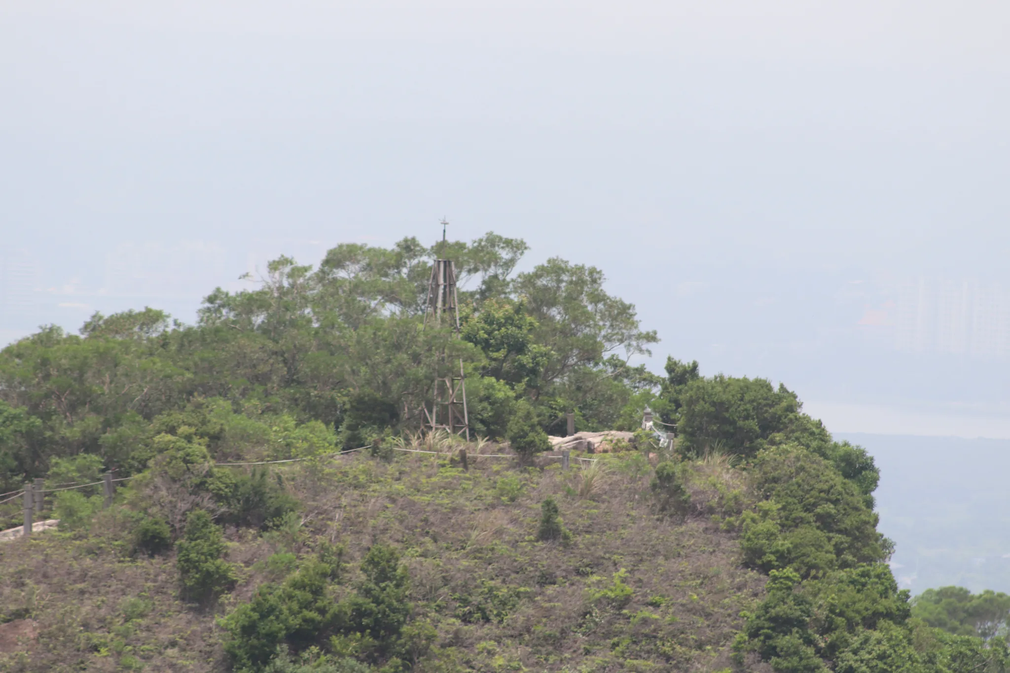
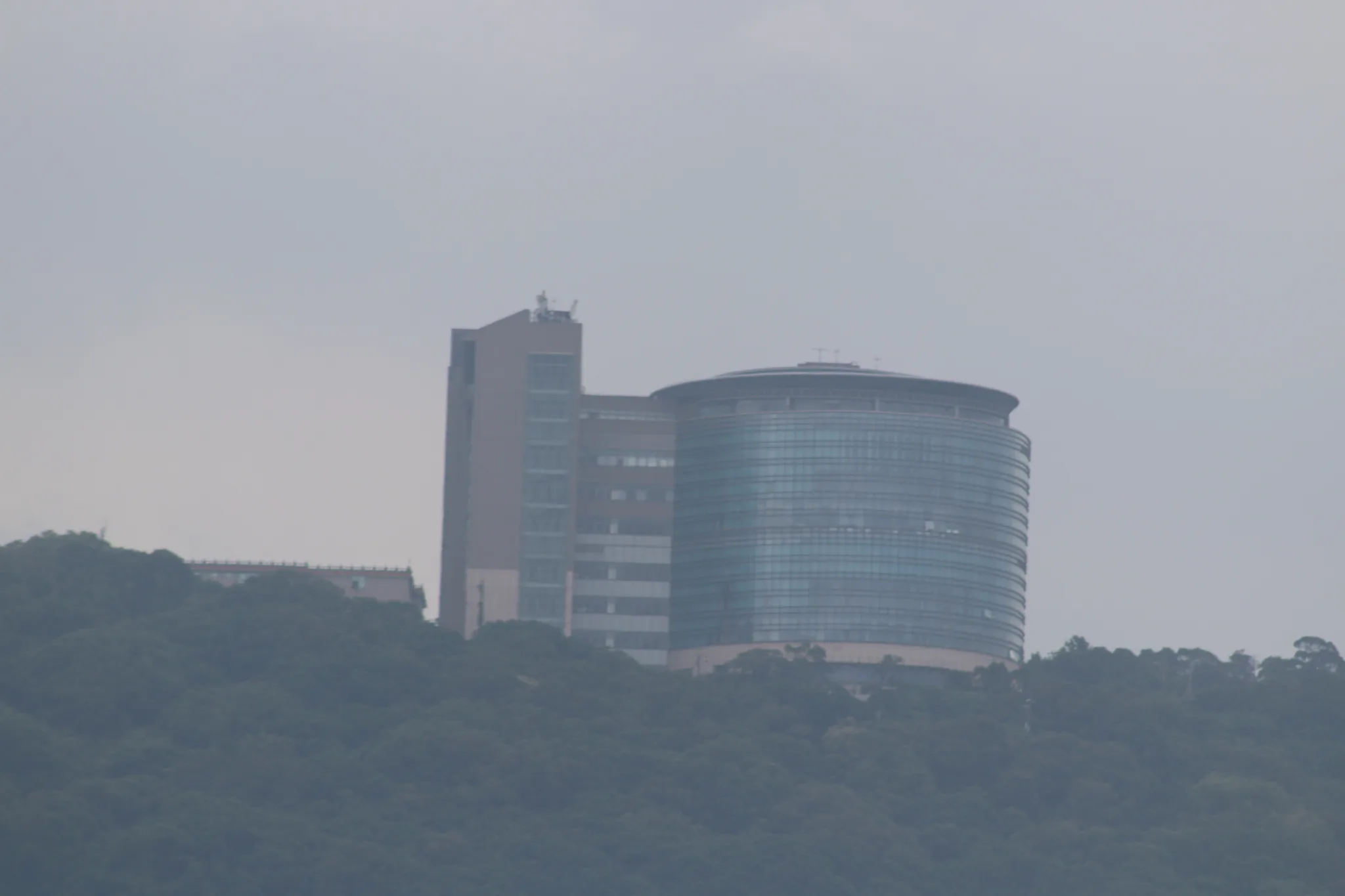
View of the top of the other nearby hillside.
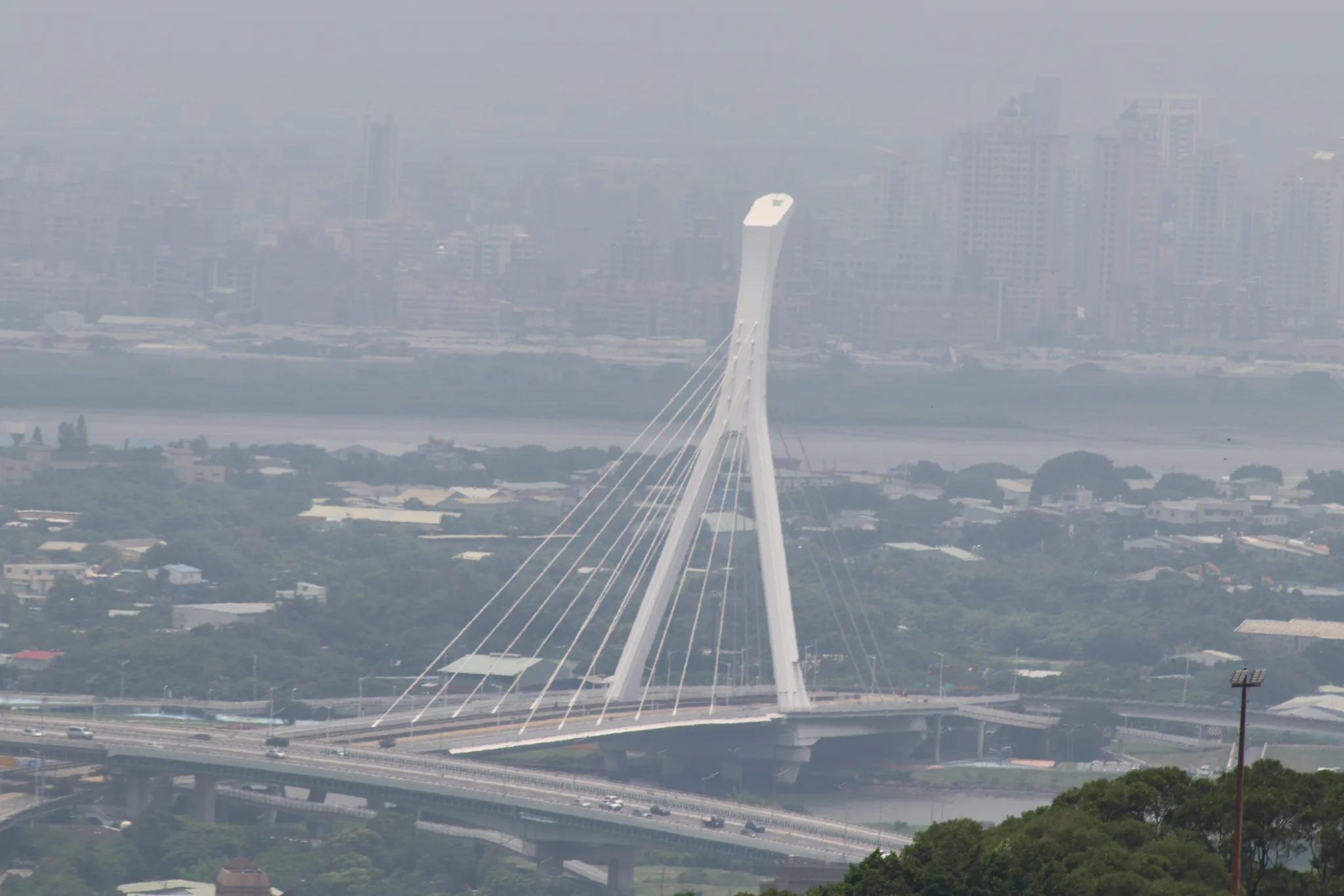
View of the Shezi Bridge.
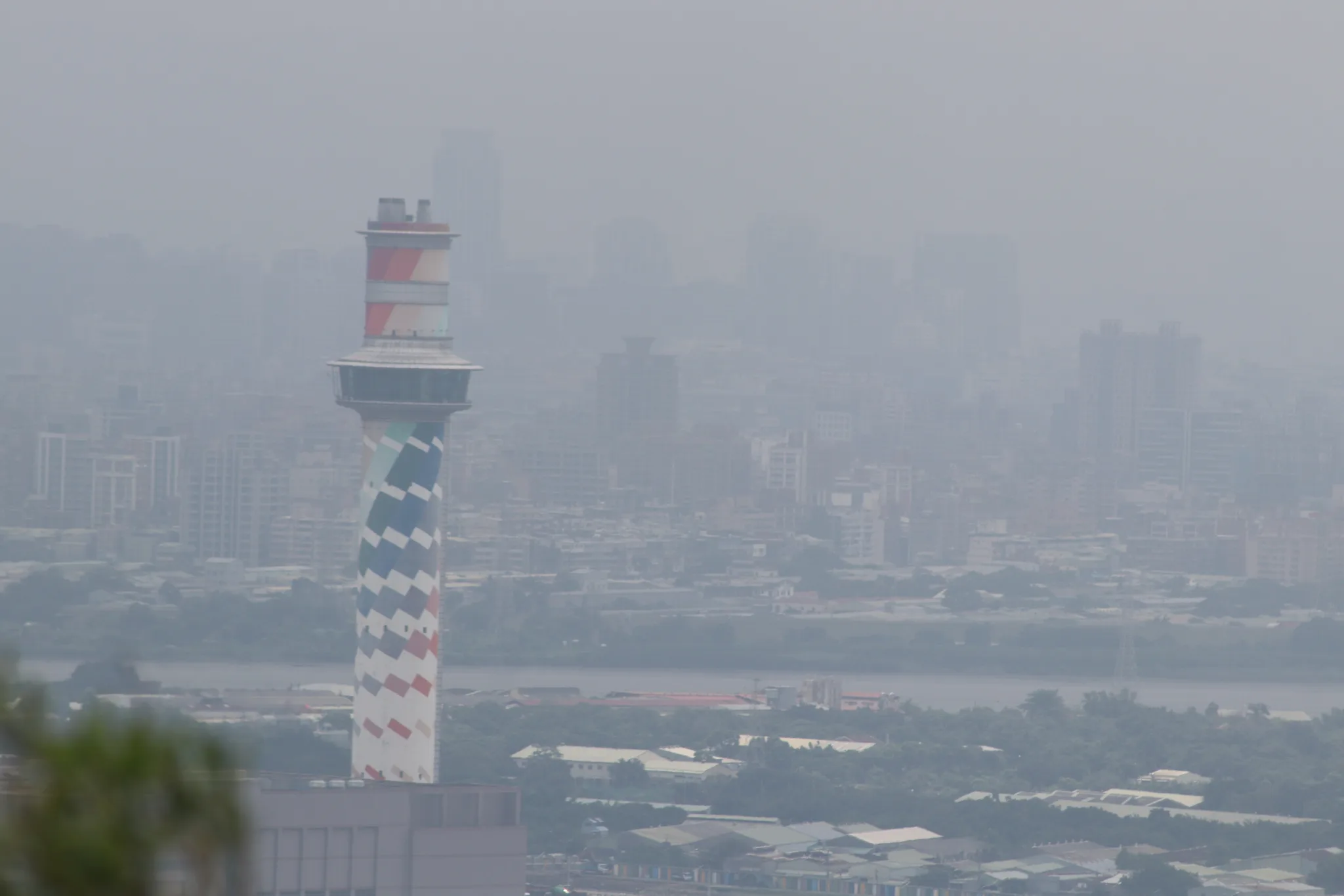
Waste incineration plant in Beitou.
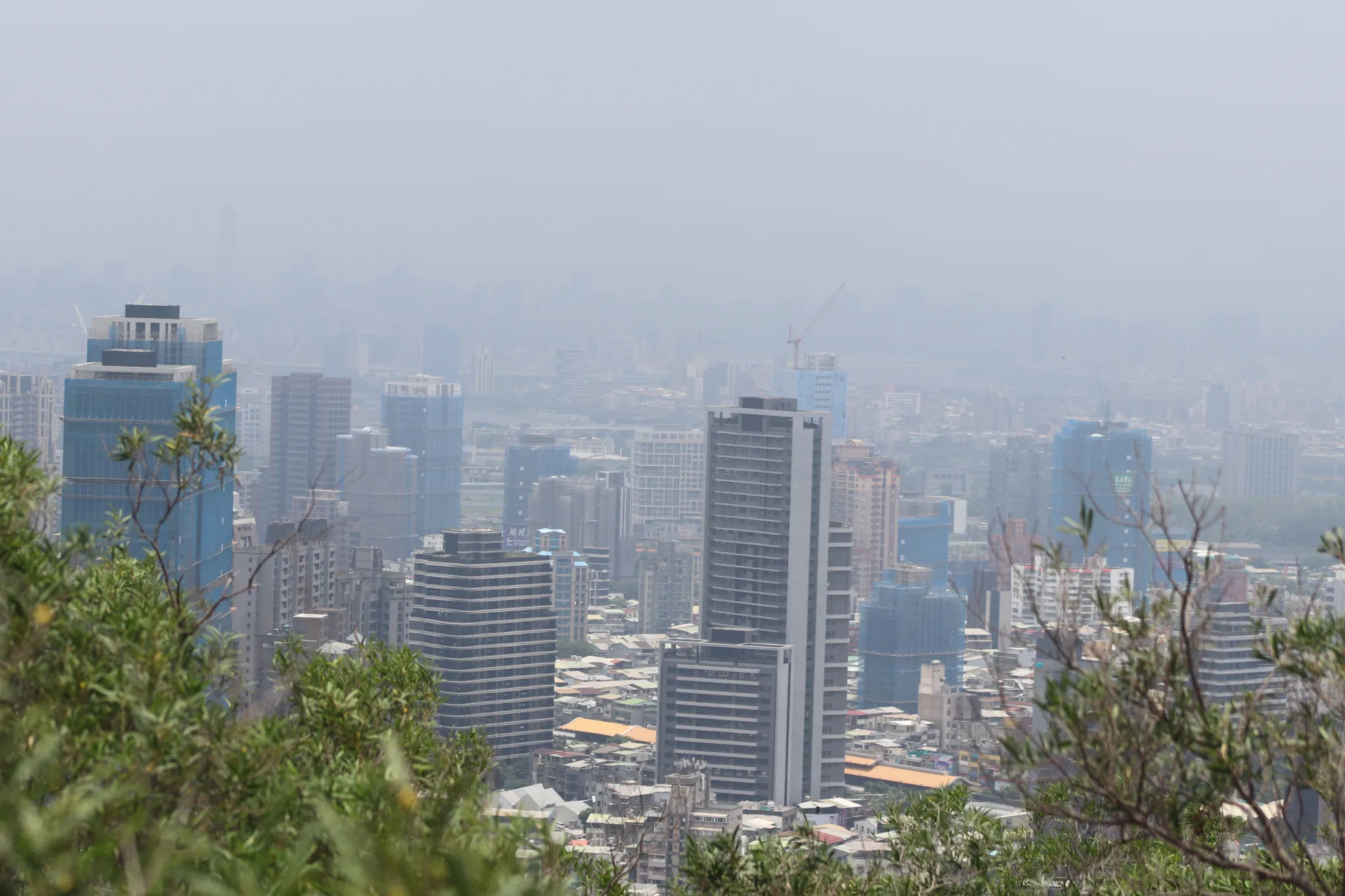
More high-rises in Beitou.
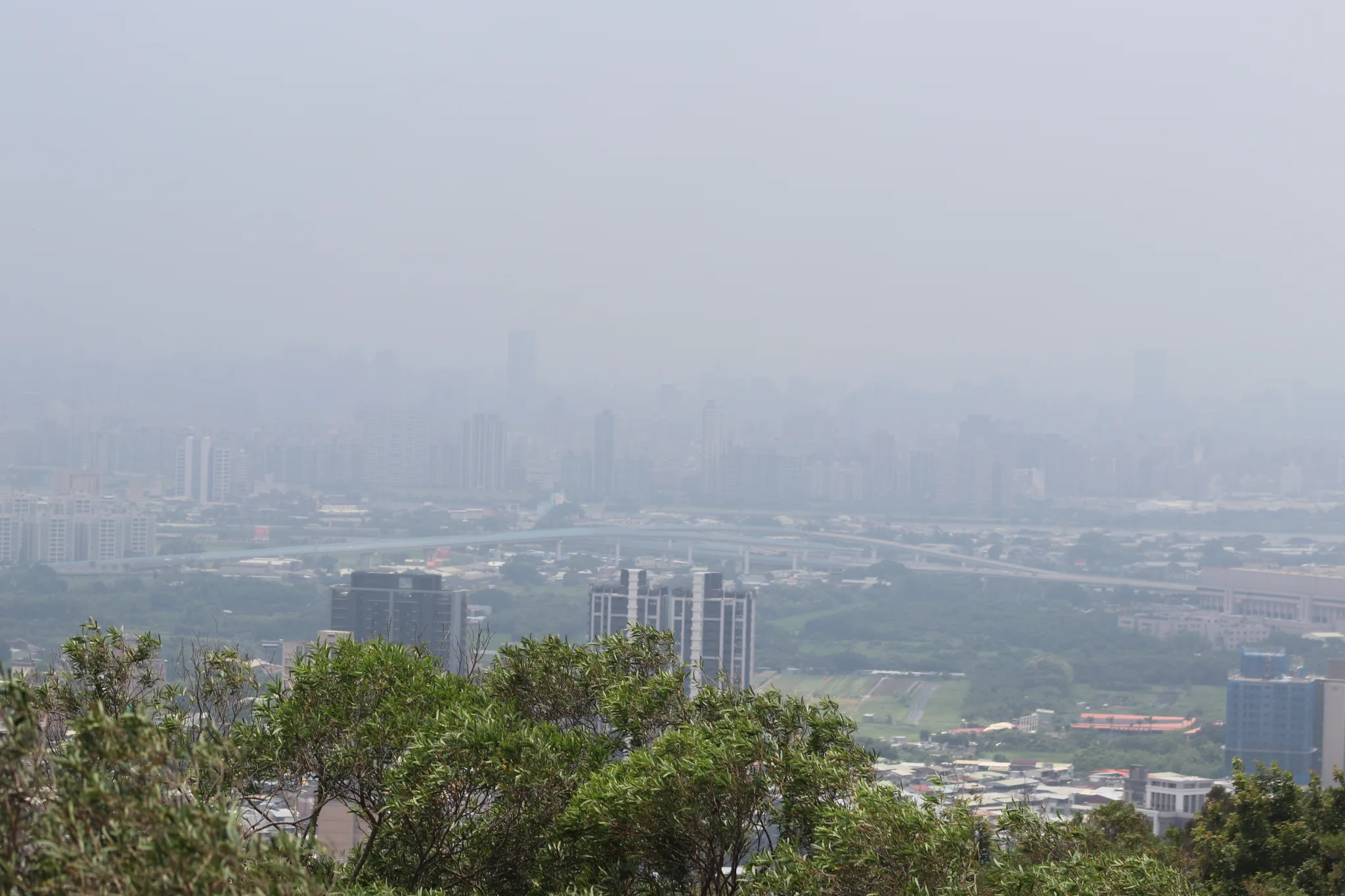
View looking out at Beitou.
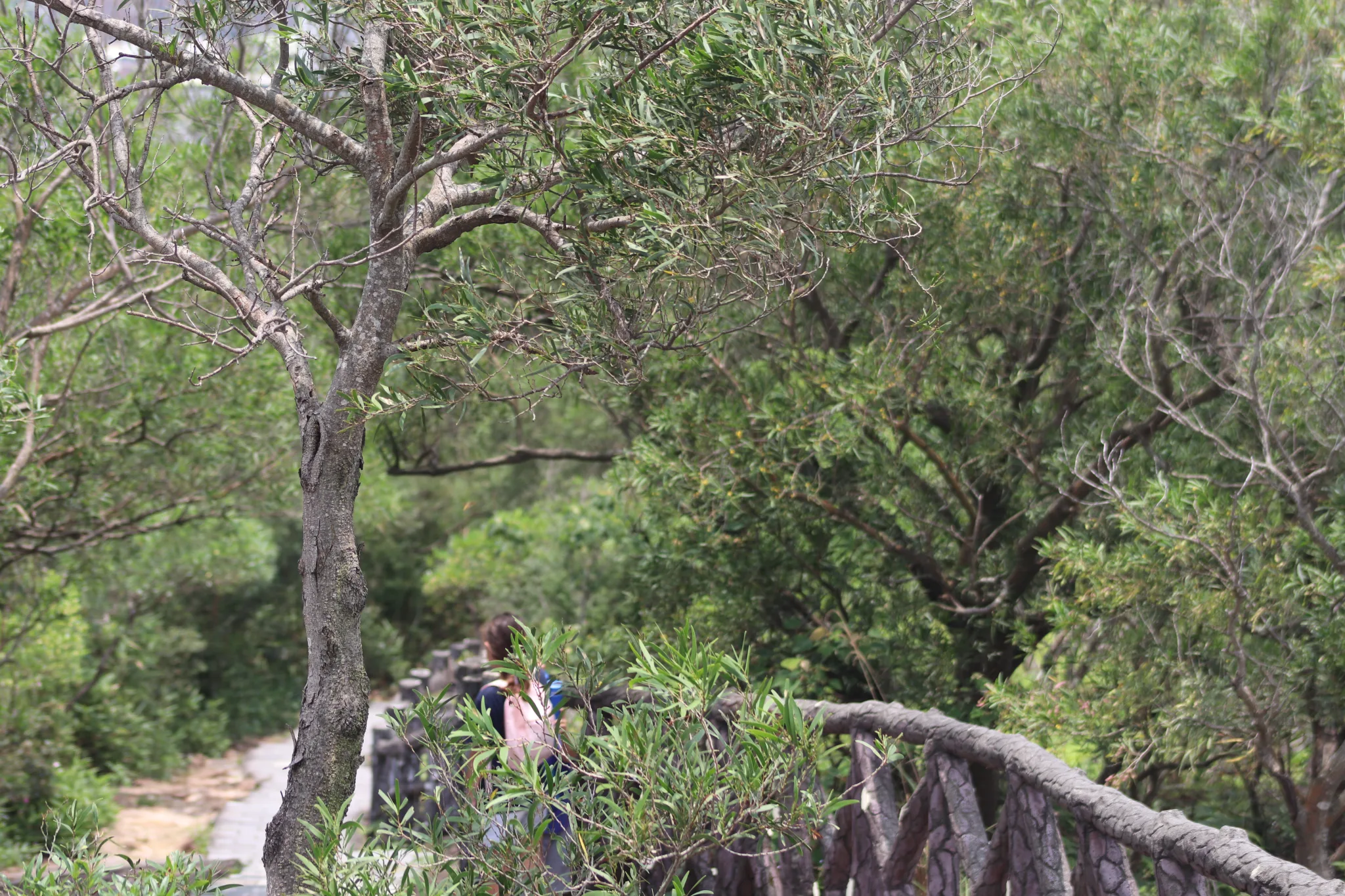
Taking the long walk down the hill.
This concludes our blog post of the hike. Thanks for reading!
Check out our Taipei City hiking guide here.
Check out our full guide to Taipei here.