Tuku Peak is a scenic and beautiful hike in Taipei City, offering a panoramic view of East Taipei as part of the Gengliao Historic Trail. It is one of Taiwan’s lesser 100 peaks, and at 389 meters, it is the highest point in the Nangang District of Taipei City. Usually, the grass at the top is trimmed, so there are pretty good views most of the time.
🏯 Planning your trip to Taipei? 🏮
Here are some top travel tips for you:
- Best time to visit: March-May, and October – November when the temperatures are nice and there is not as much rain
- You can buy tickets to Taipei’s Science Museum for a discount on Klook here
- How to get there: Taiwan High Speed Railway and Inter-City Bus
- Best places to stay: Yuanshan Grand Hotel or Fu Chang Hotel
- Book tours and activities in Taipei on Klook
- Stay connected with a local SIM
- Rent a car to explore distant sights
Historical Background:
Tuku Peak, also known as Tukujian (土庫尖) or Daping Mountain (大坪頂山), is a 389-meter (1,276-foot) mountain located in the northeastern Shenkeng District near the border with Nangang District. Recognized as one of Taiwan’s 100 Minor Peaks (小百岳 Xiaobaiyue), it contains both a first-order triangulation point and Triangulation Stone No. 1134. During the Qing Dynasty, it served as the border marker between Han Chinese settlers and aboriginal tribes. Nearby is the historic Gengliao Historic Trail, once an important route connecting Nangang and Shenkeng and now the primary access path to the summit. In recent years, the trail has been developed into a well-maintained hiking route, making the area an attractive destination for outdoor recreation and local history enthusiasts.
Hours:
24/7
Price:
Free.
Difficulty:
Moderate – there are some steep parts with lots of steps.
344 Meter elevation gain.
Length:
4 KM one way
Takes about 2-3 hours for a round trip, or 1-2 hours one way.
Where to stay:
We have stayed at and recommend the Nangang Marriott (book on Booking.com here or Agoda here). We have also stayed at and recommend the Yuanshan Grand Hotel, once the tallest building in Taiwan and still the most grand (book on Booking.com here or Agoda here).
Looking for a hotel? We recommend booking through Booking.com here, which provides the best quality selection of accommodation in Taiwan.
Find out where to stay in our Taiwan hotels guide or search for the best hotel deals in Taiwan here.
Activities in Taipei:
There are many activities available to enjoy in Taipei, such as kayaking, canoeing, snorkeling, SUP / paddle boarding, water biking, and more activities, which you can book on Klook here or KKday here.
How to get there:
By Car/Scooter: From Nangang Road at Nangang Exhibition Center MRT station, turn south toward the mountains and keep going straight on Academia Sinica Road until it turns into Jiuzhuang Street. Keep going all the way up the mountain. There are multiple trail entrances along Jiuzhuang Street Section 2 to Gengliao Historic Trail, which connects with Tuku Peak.
Looking for scooter rental in Taipei? You can search on Klook here or KKday here to search for options. You can also check out our scooter rental guide here.
If you are looking for car rentals, you can also search Qeeq here, Klook here, or KKday here. You can also check out our car rental guide here.
By MRT/Bus: Take the Southeast Little 5 bus from Nangang Exhibition Center MRT station. It takes about half an hour to get to Jiuzhuang Street Section 2. There are multiple trail entrances along Jiuzhuang Street Section 2 to Gengliao Historic Trail, which connects with Tuku Peak. You can also book an MRT travel pass on Klook here.
By Bicycle:
Cycling is the best way to enjoy Taiwan’s landscapes if you have the time and energy. Looking for bicycle rentals in Taiwan? You can use Taiwan’s many Youbike sharing stations, or search for rentals on KKday here, and search for tours on Klook here. You can also check out our Taiwan cycling guide here. You can also book a Sunset Riverside Bike Ride and Historical Tour, 4 Hour Cycling in Taipei, Ultimate 8-Hour Cycling City Tour, or Taipei City Bike Tour with Night Market Experience on TripAdvisor here.
For more information, check out our Taiwan transportation guide here.
Map:
Please see below:
There are multiple trailhead entrances to Tuku Peak from both Shenkeng and Nangang. This blog will cover the closest entrance from the road in Nangang.
Drone Footage:
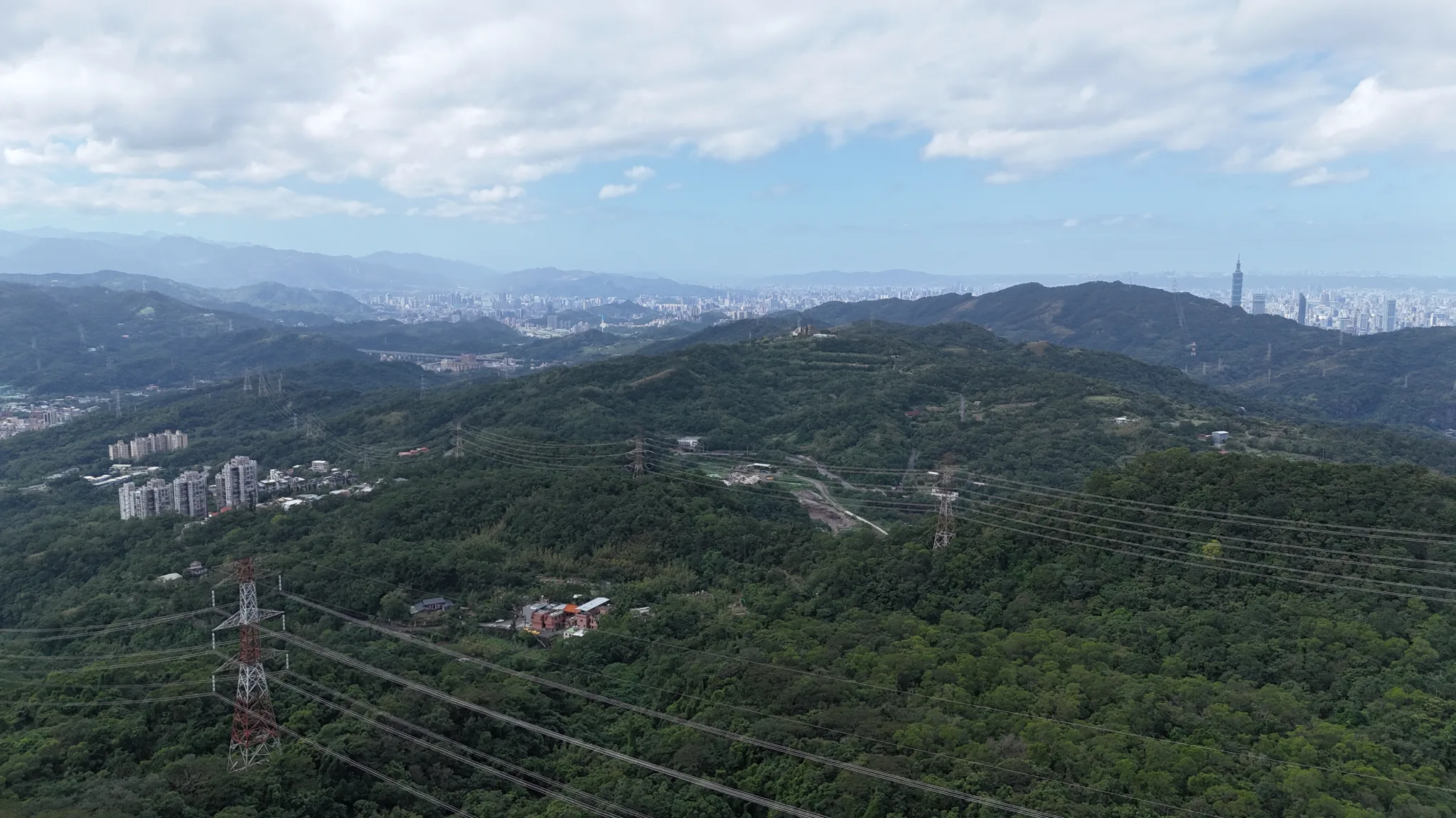
Aerial view from Tuku Peak, the highest point in Nangang District of Taipei City at 389 meters above sea level. They recently cut the grass up here so there are pretty good views from the top. #土庫岳 #南港
Posted by Foreigners in Taiwan 外國人在台灣 on Saturday, November 15, 2025
Or check out our 360-degree aerial panorama of the area above.
Our Journey:
Despite being a long-time Nangang resident and having made hundreds of visits to Gengliao Historic Trail, I have only visited Tuku Peak twice. Every time I visit, there are always hiking groups that are there at the top.
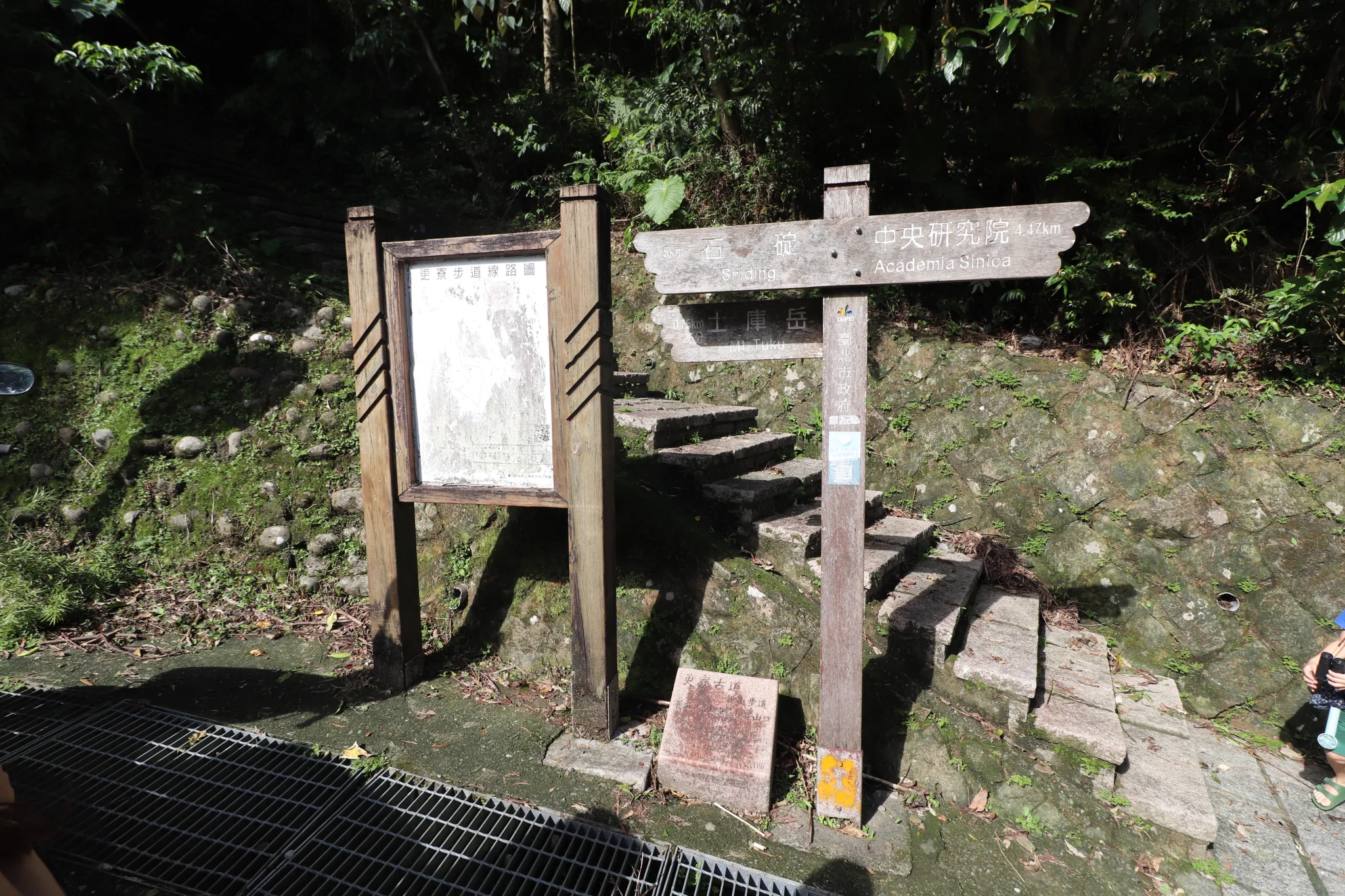
For this hike, we started at the closest possible entrance to Jiuzhuang Street Section 2.
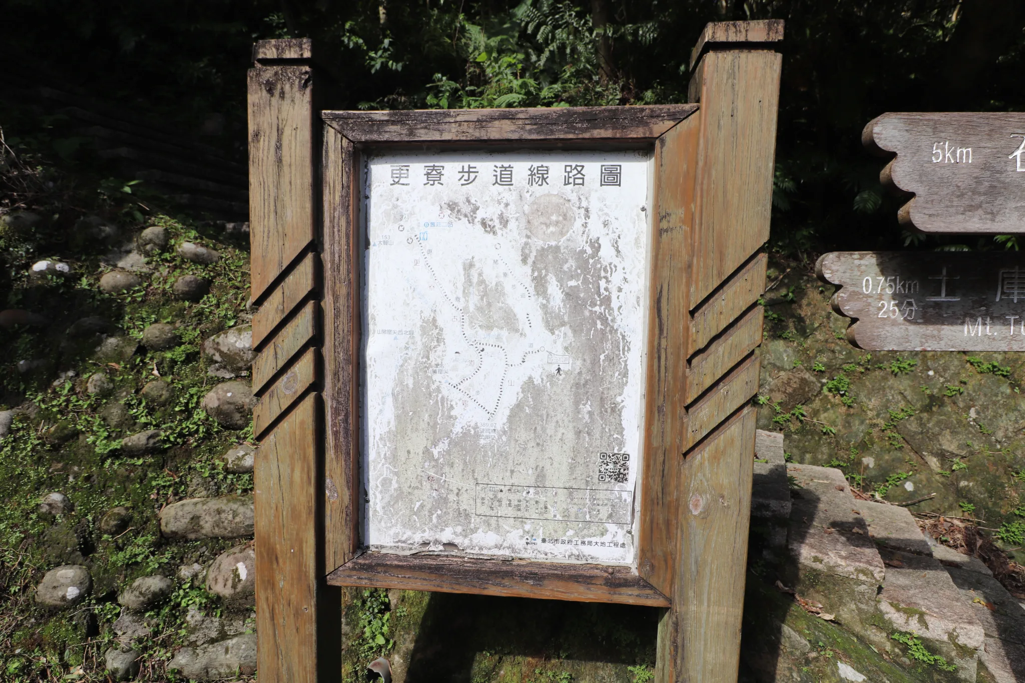
And here is a faded map of Gengliao Historic Trail for your viewing pleasure.
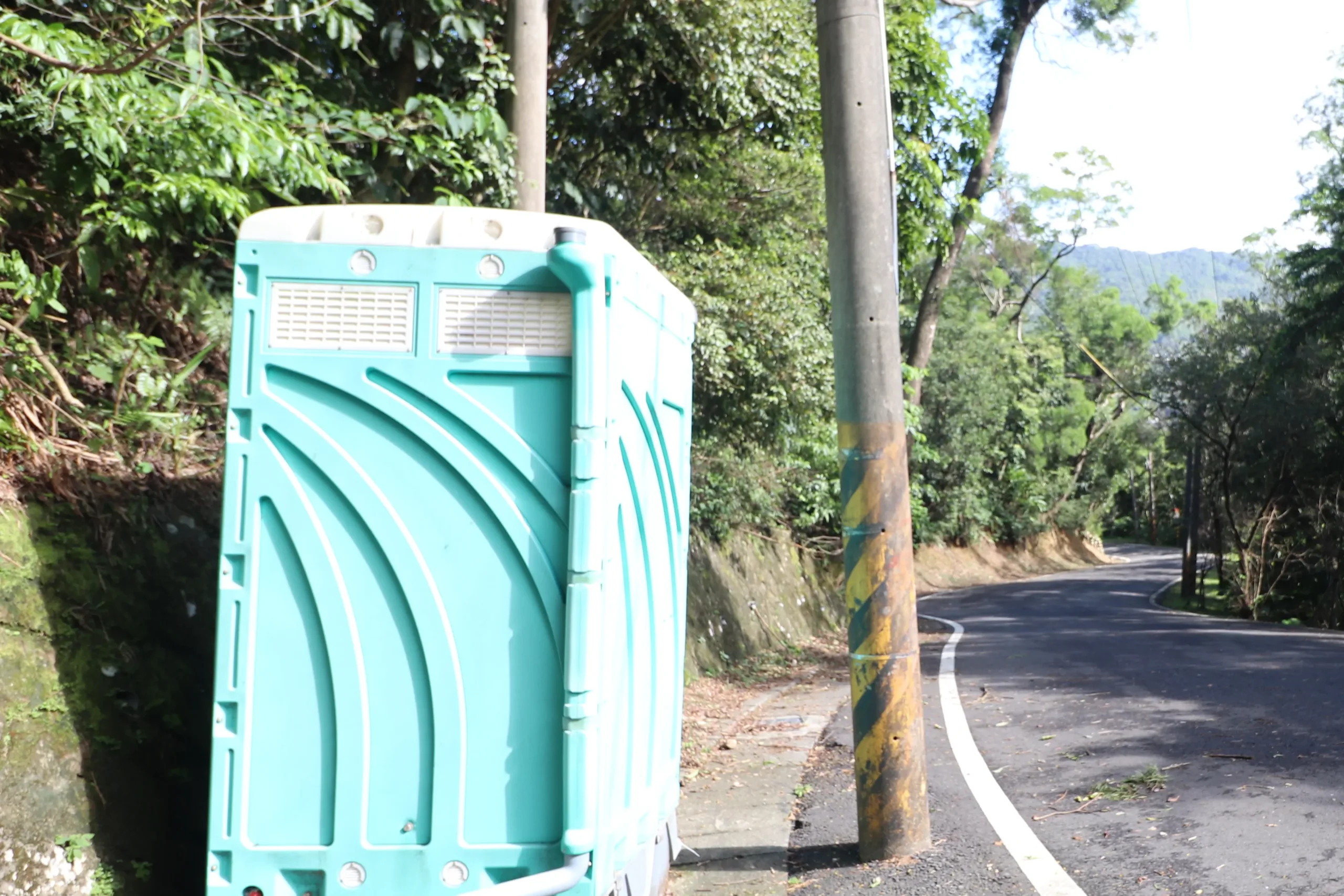
There is a little John here if you need it.
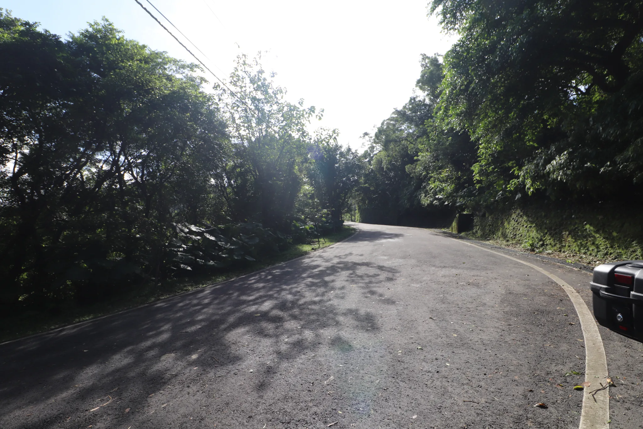
View up the road from the trailhead.
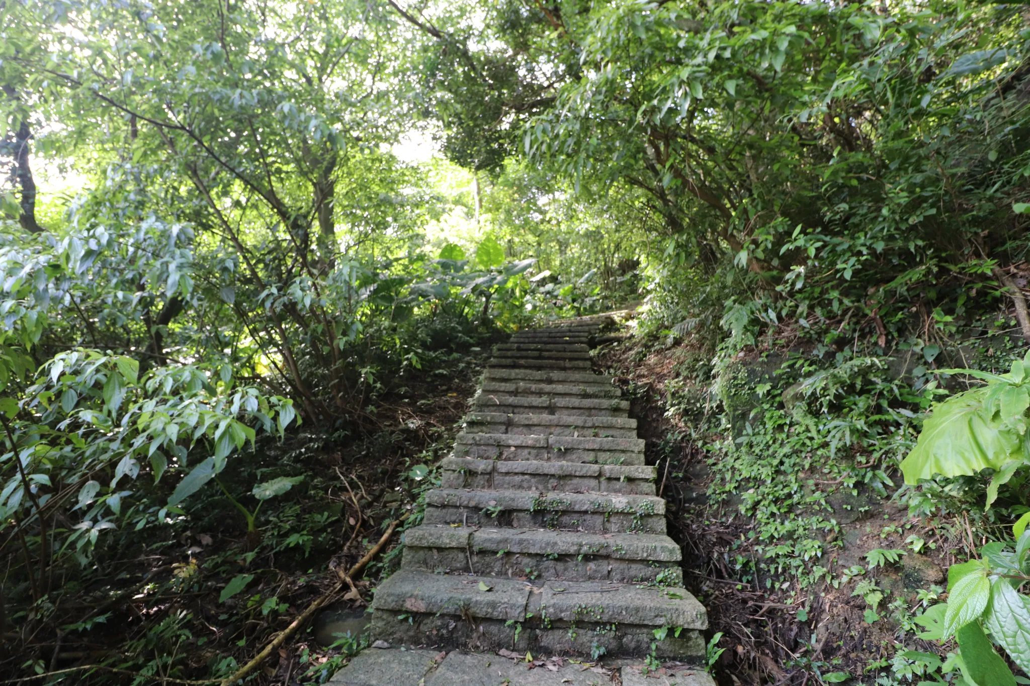
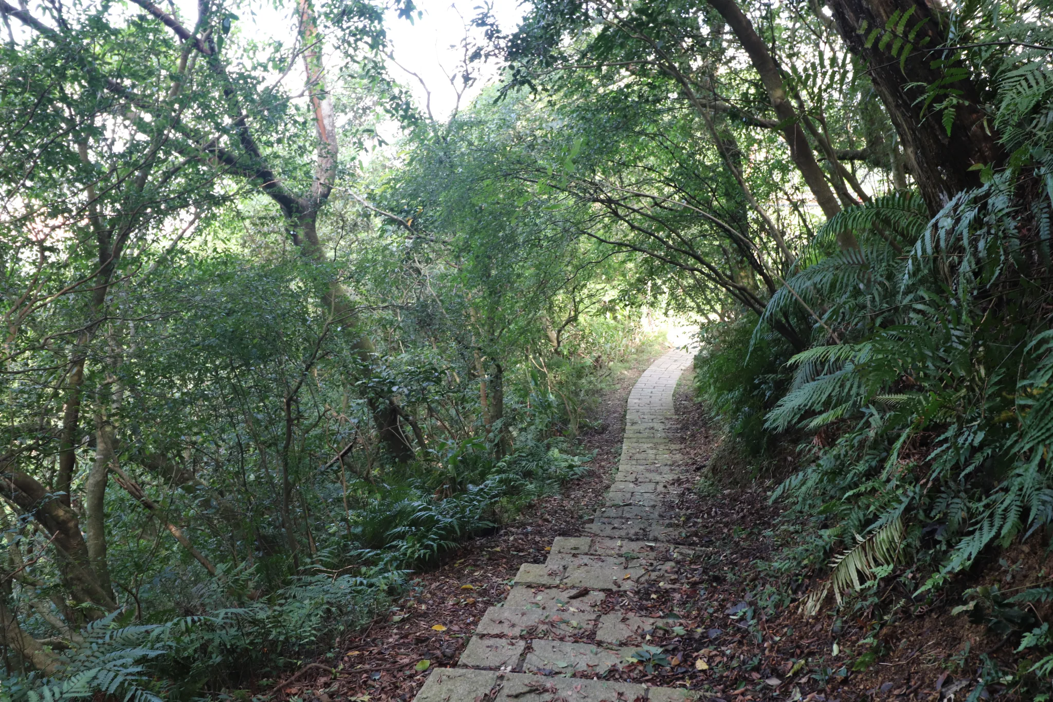
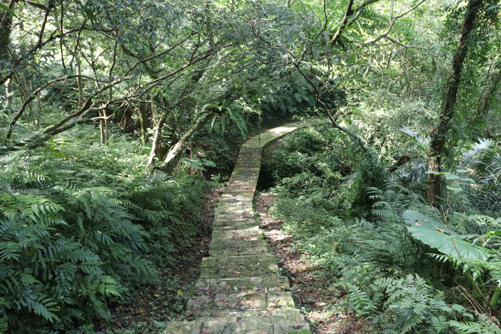
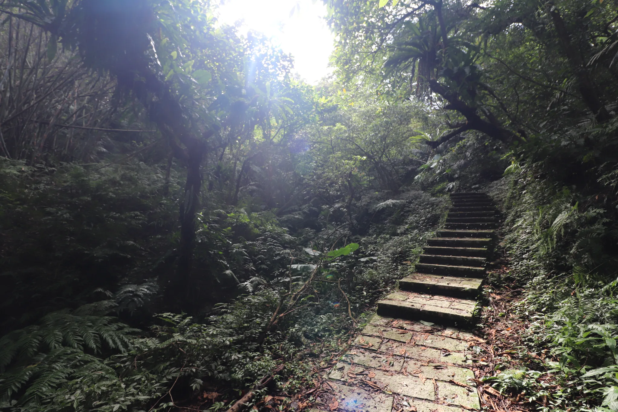
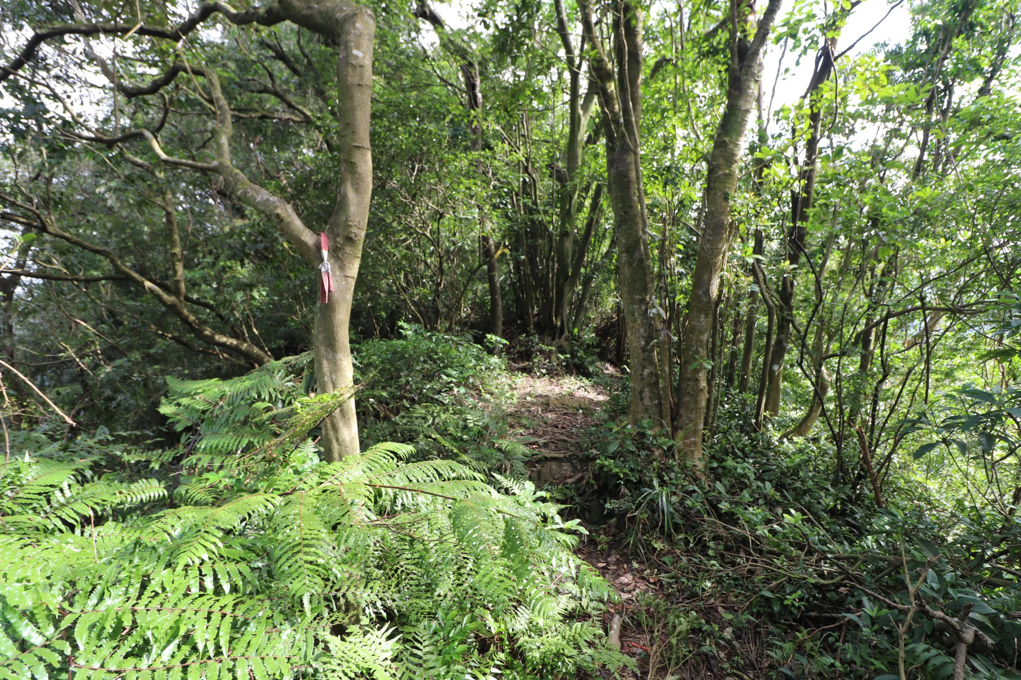
And then we started the climb. Most of the trail is made of these stone steps, which may make it such a popular hiking trail.
And we spotted our first wildlife creature: a lizard.
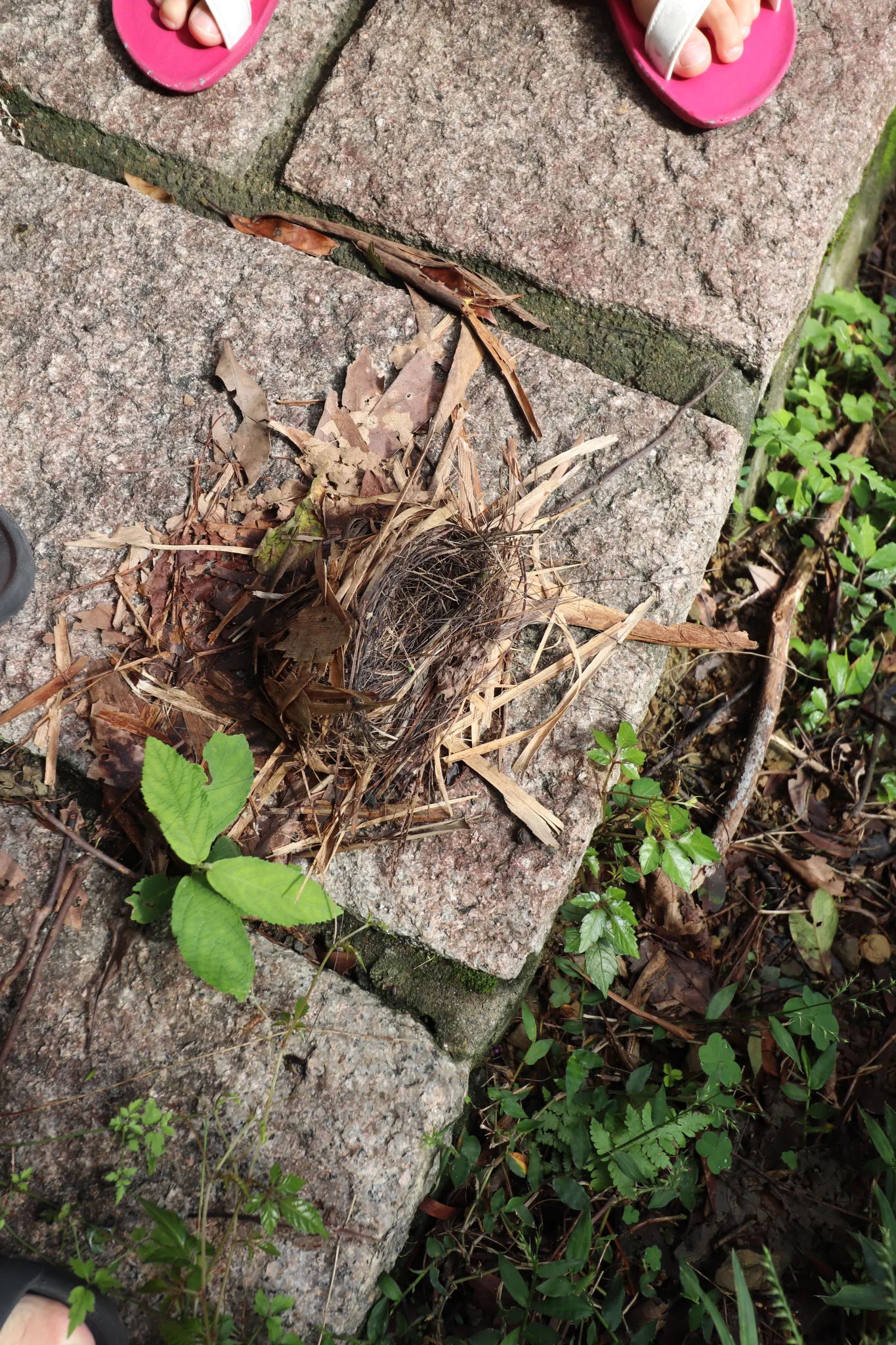
A fallen bird’s nest on the trail. I have seen monkeys in this area, too.
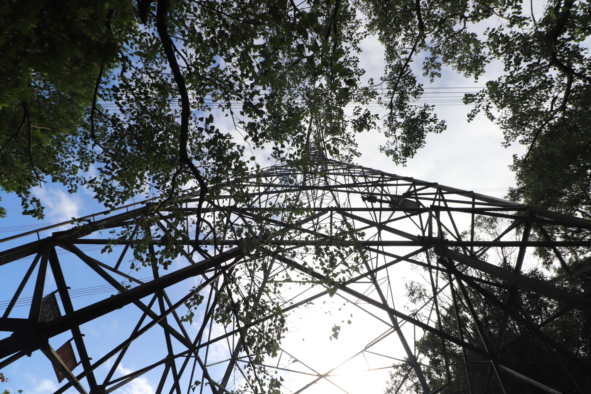
We reach the first power line tower.
View looking back down the trail.
Then we saw some rays of sunshine through the forest.
Then we came across the first wooden bridge.
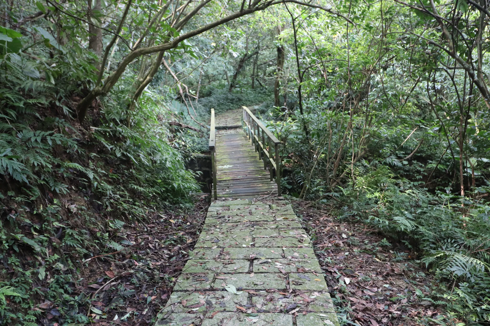
Second wooden bridge.
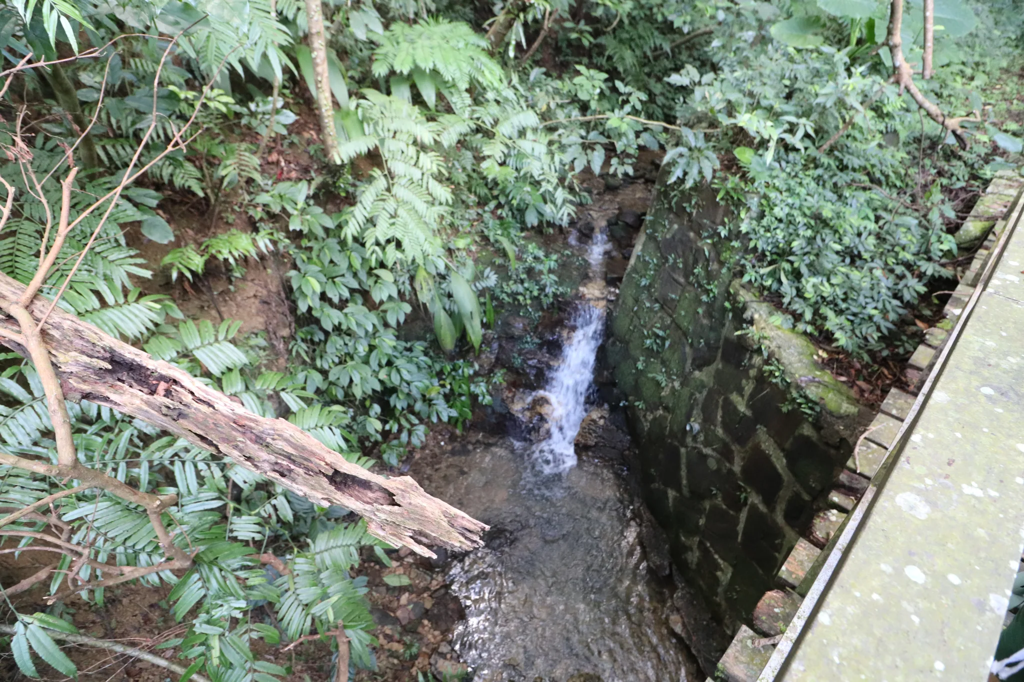
Under the second bridge is this man-made ditch.
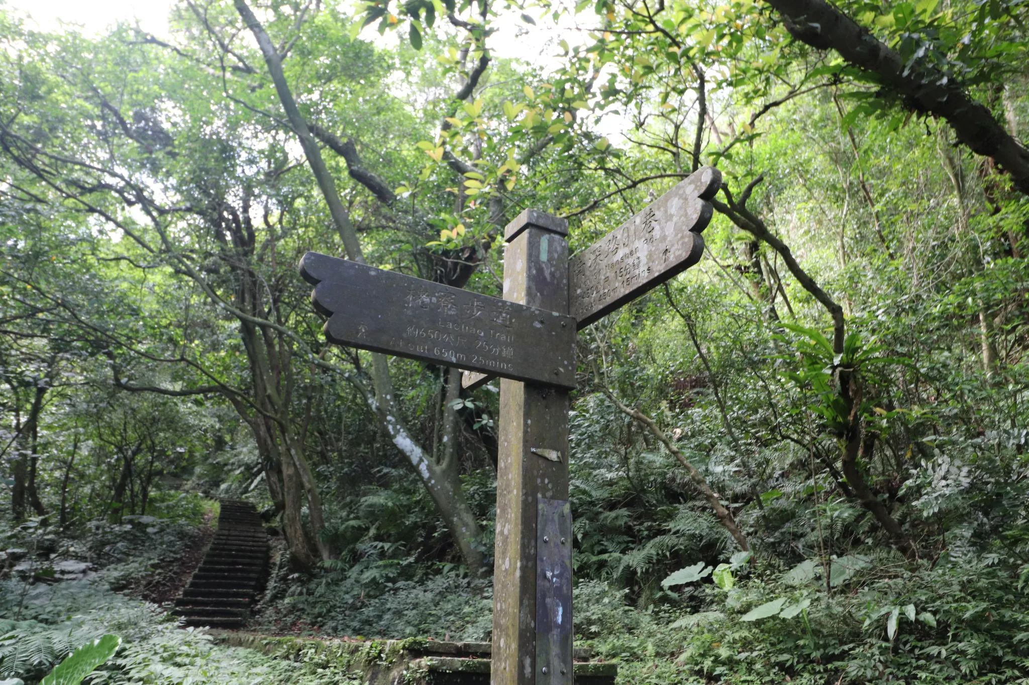
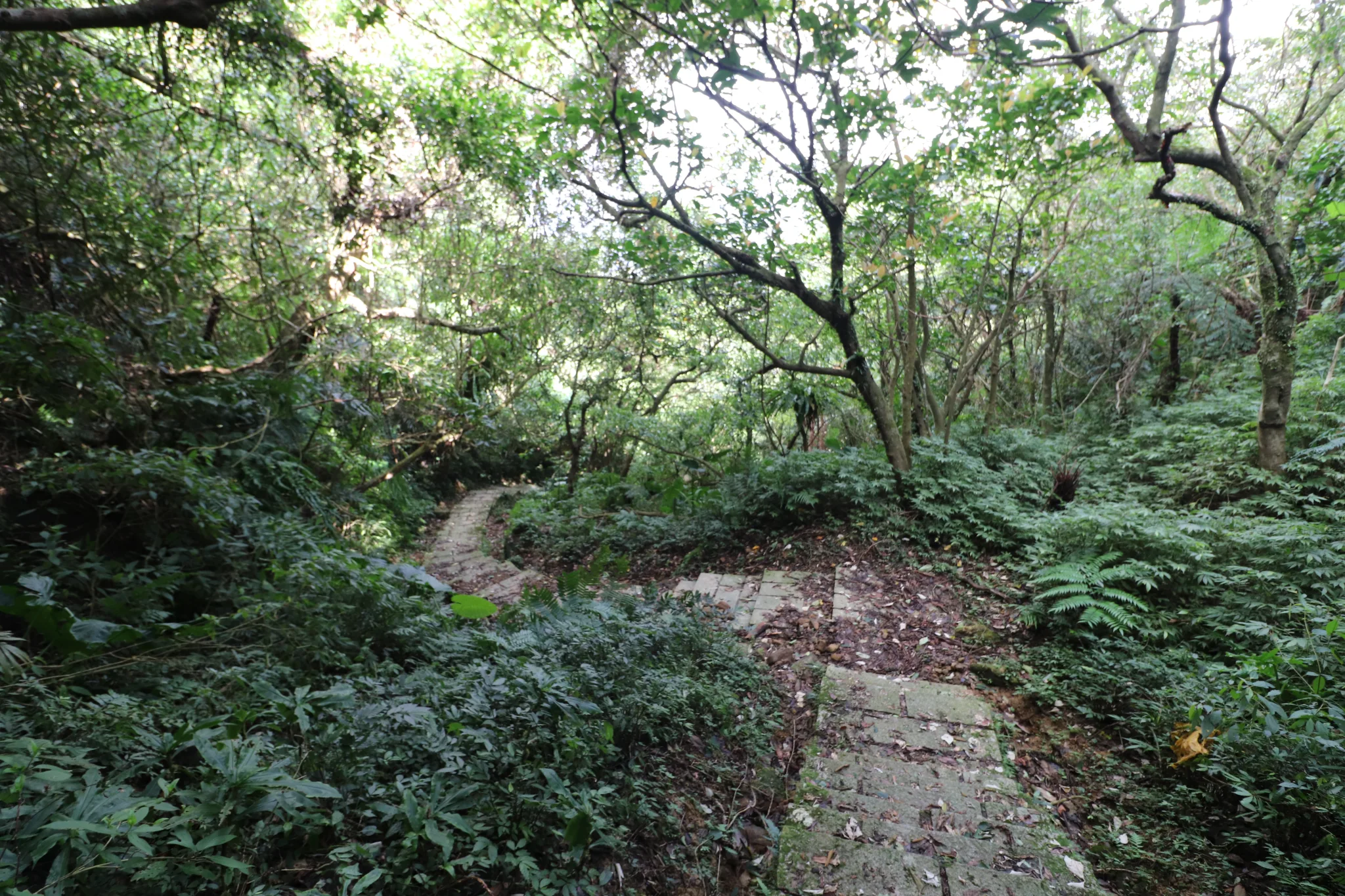
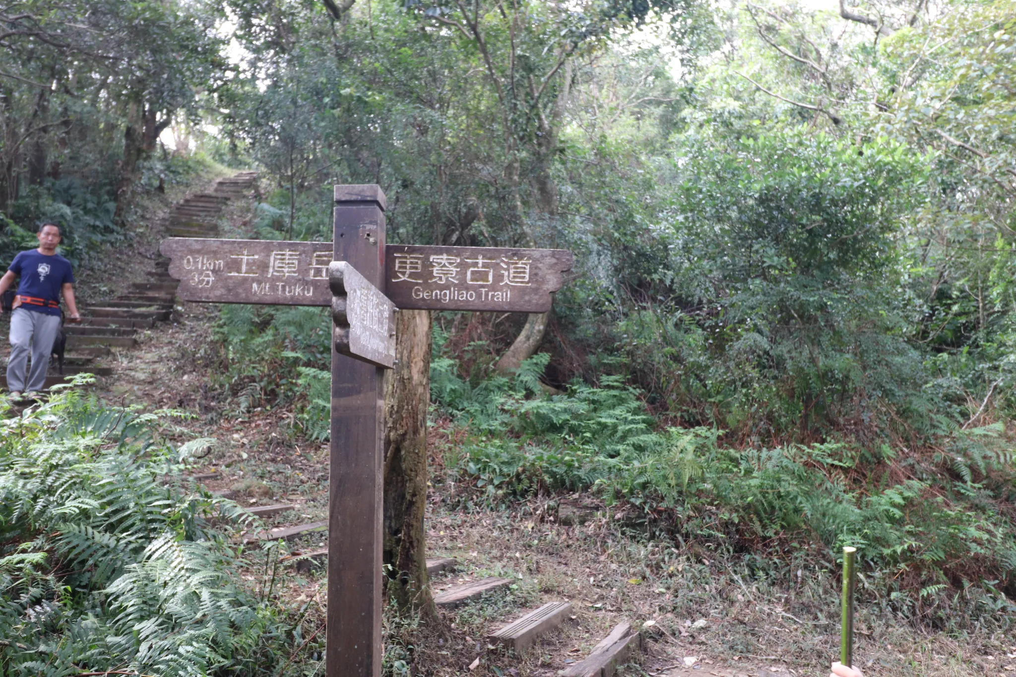
We then came to this fork in the Gengliao Historic Trail. Go up from here to get to Tuku Peak.
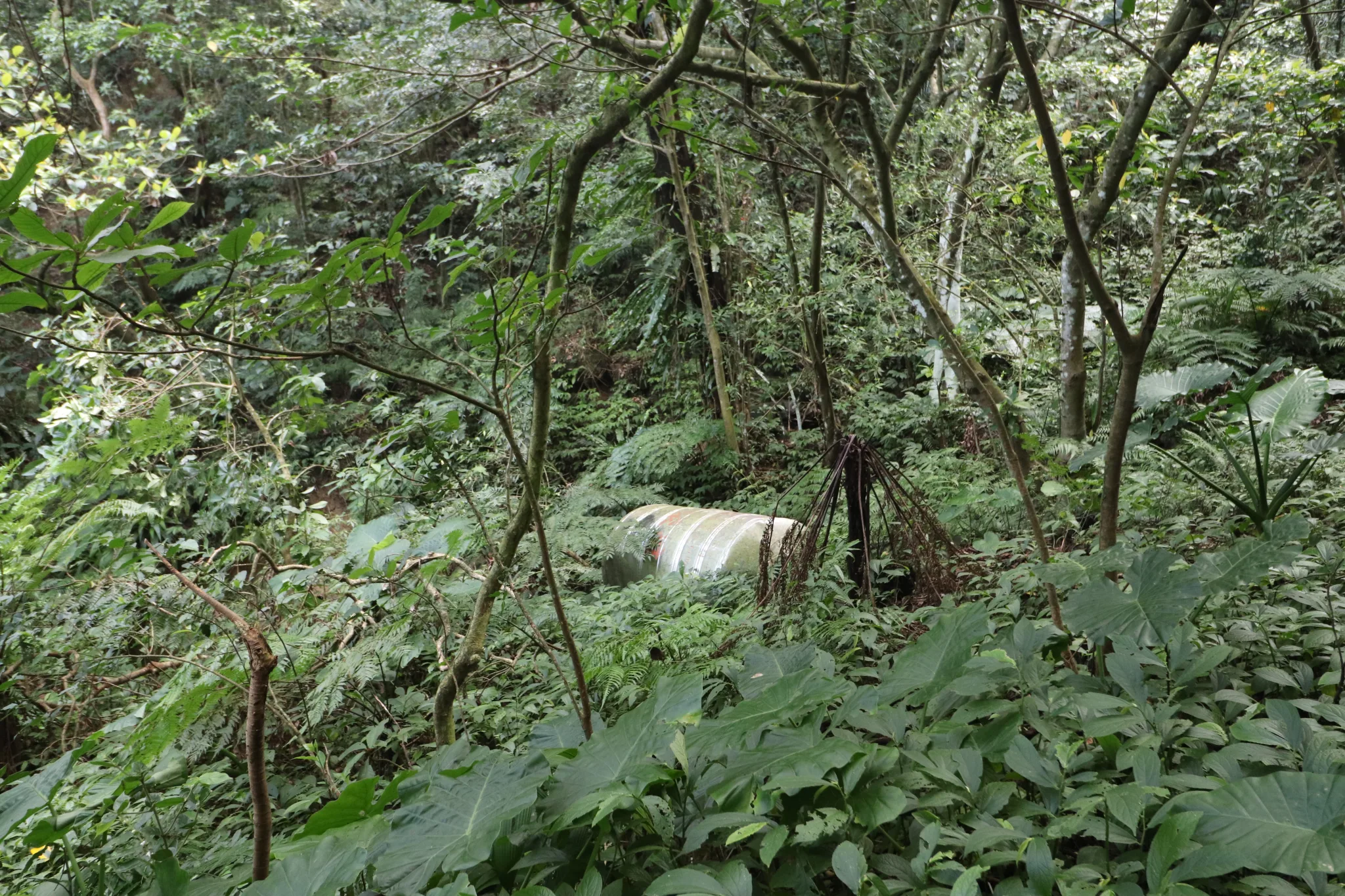
An old water tank in the forest for some reason.
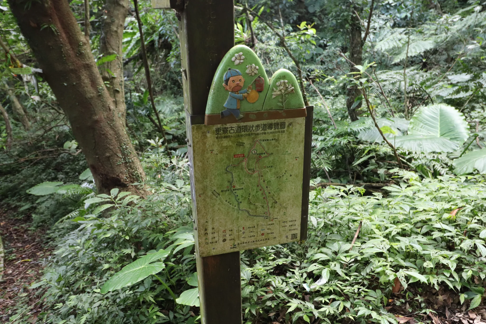
Another map of Gengliao Historic Trail.
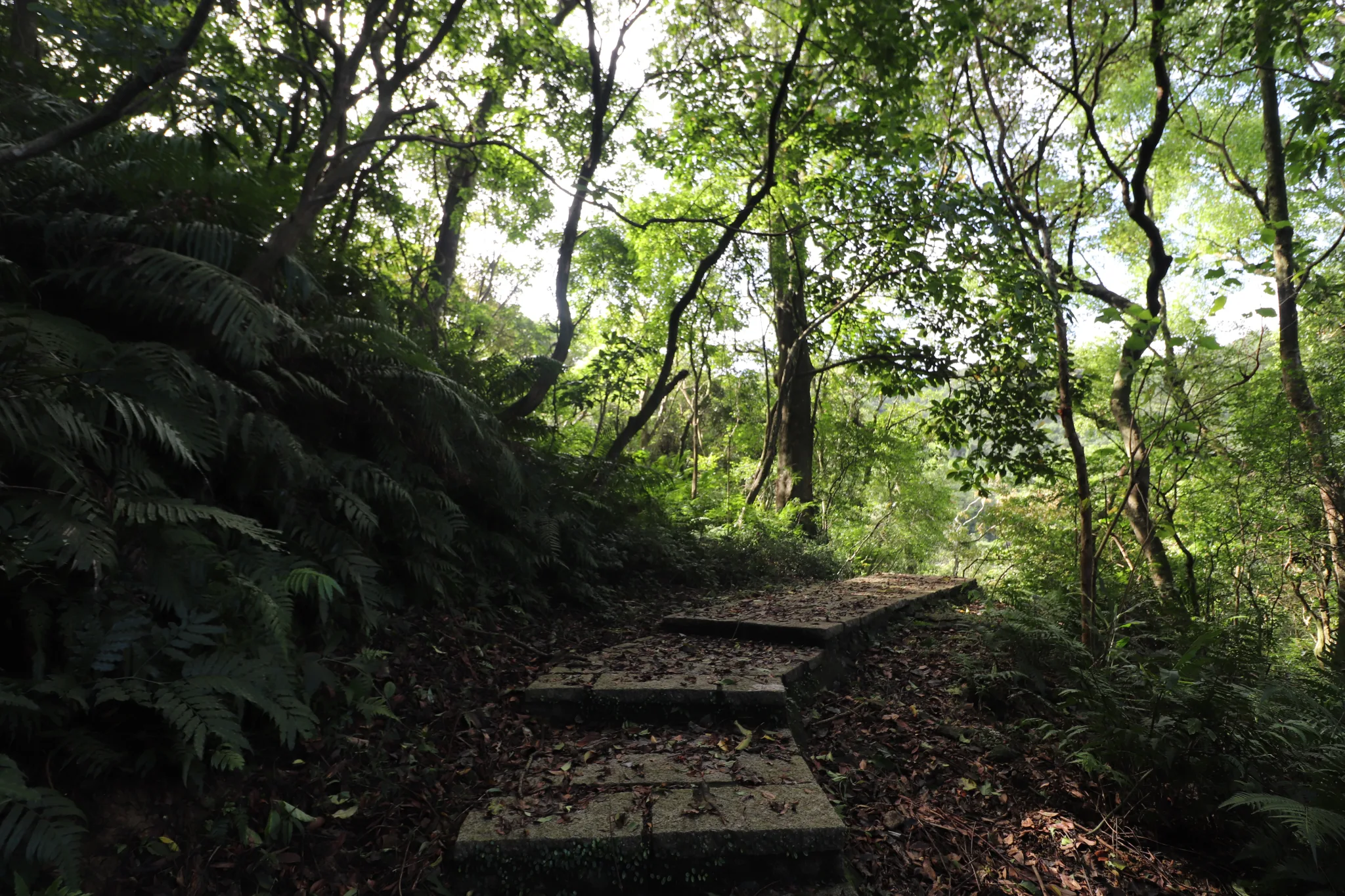
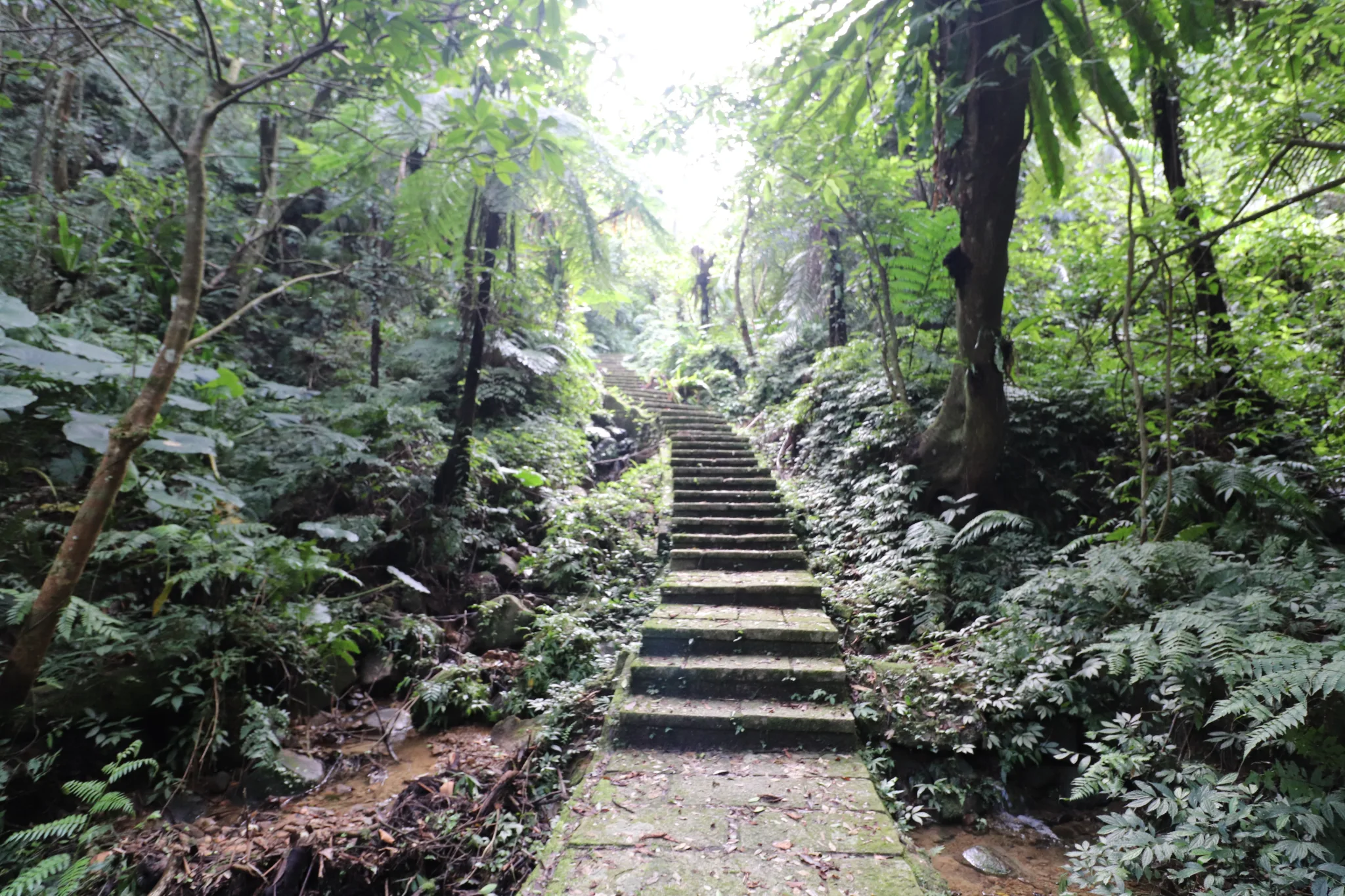
We then continued up the trail.
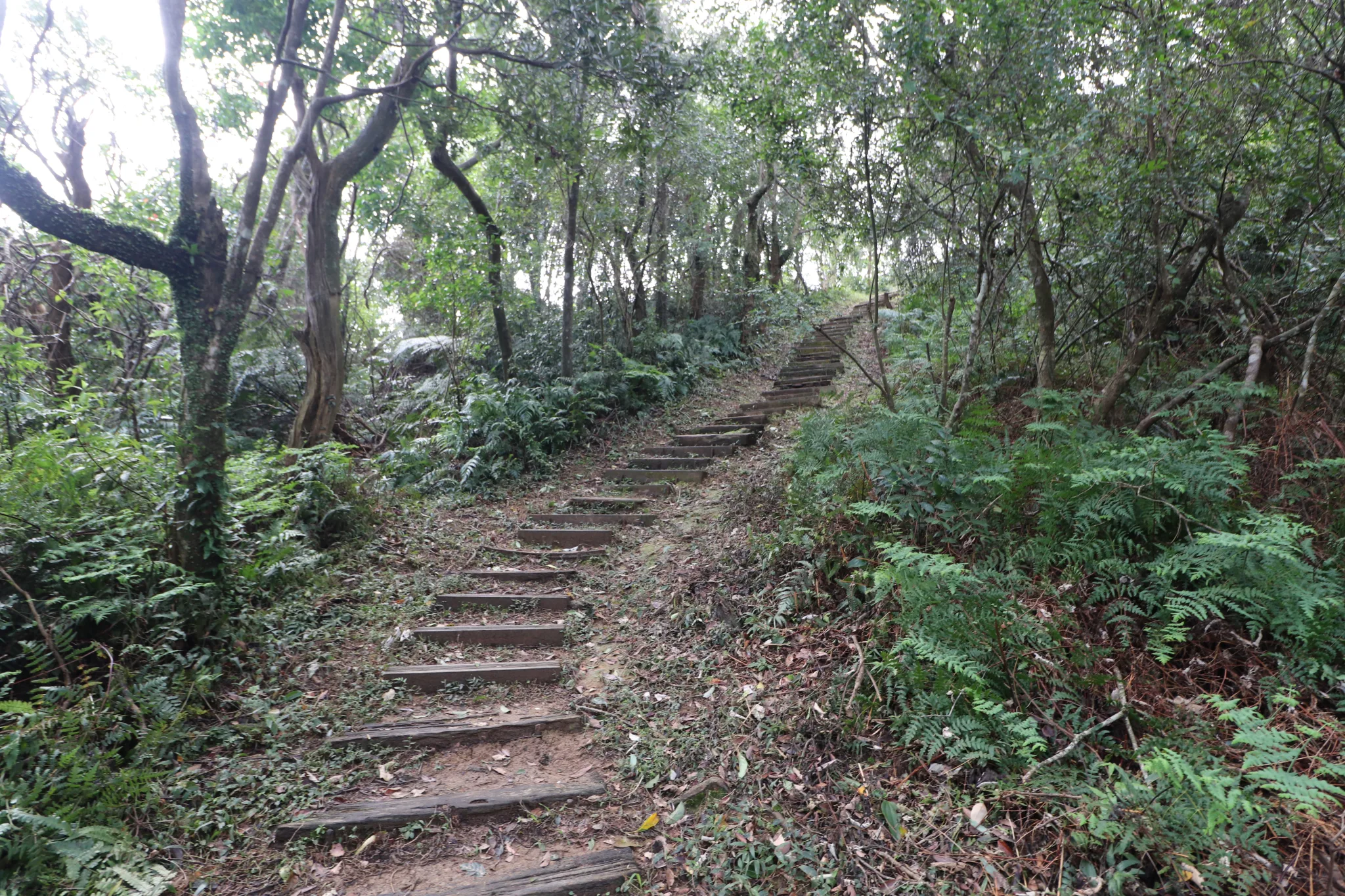
More steps up the mountain. You can tell the area recently had some heavy rains.
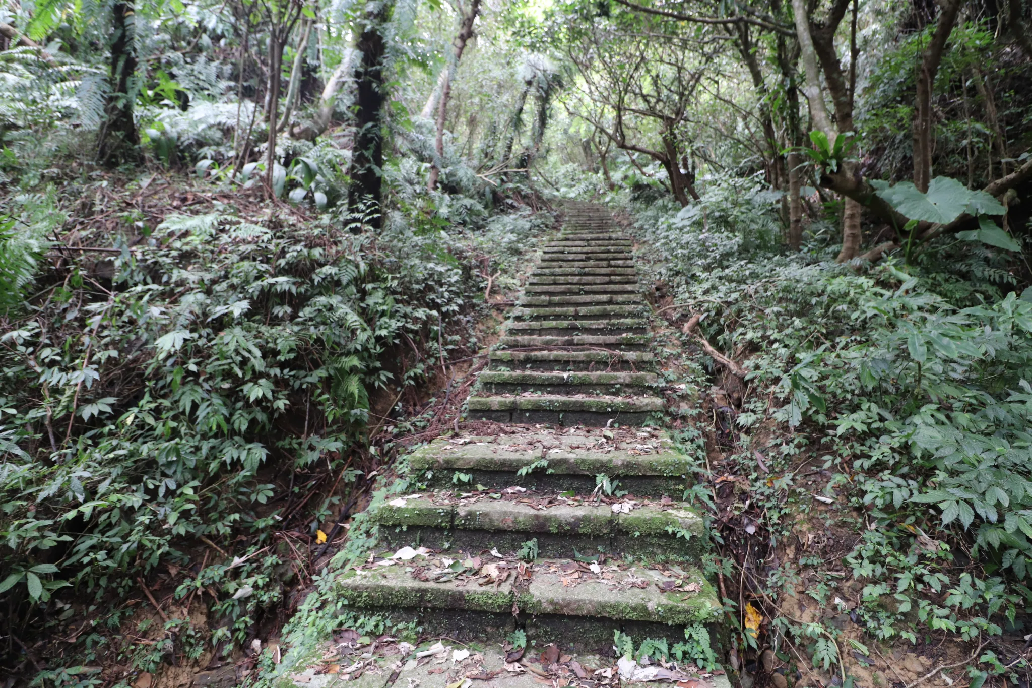
This is the hardest part of the trail. Steep stairs all the way to the top.
View looking down from further up the stairs.
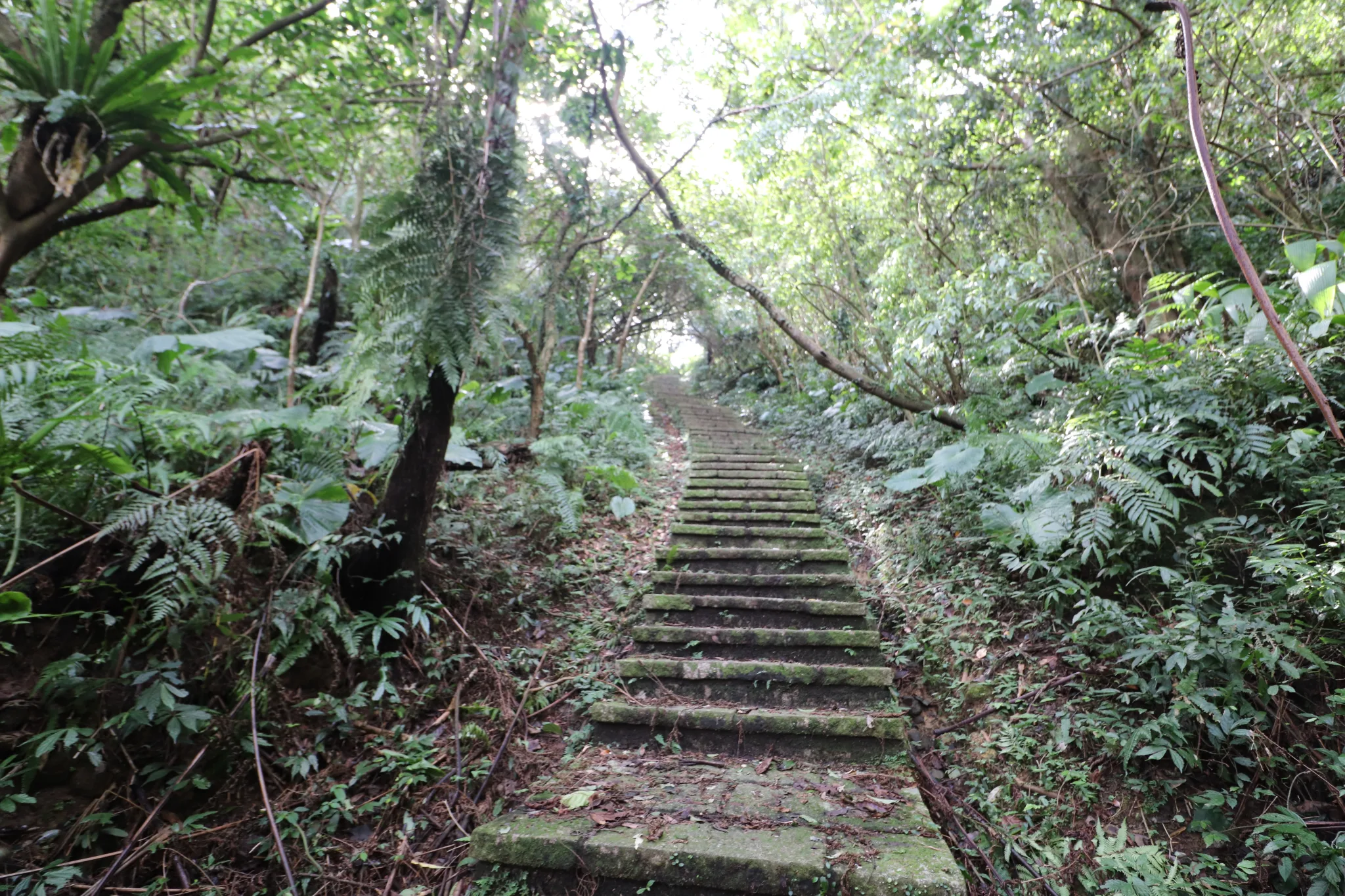
We could almost see the top from here.
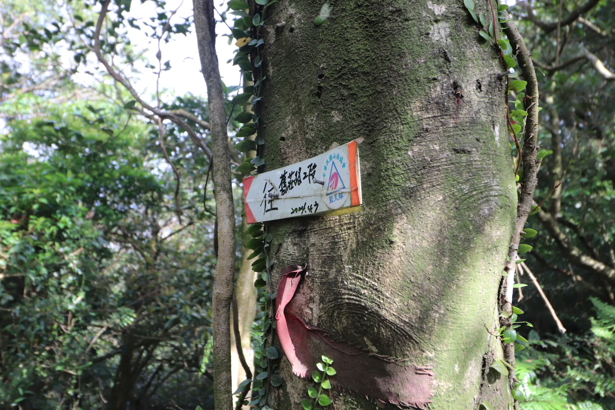
Follow this arrow to get back to where we came from.
There is another dirt trail on this ridgeline that we did not follow.
Finally, Tuku Peak was in sight.
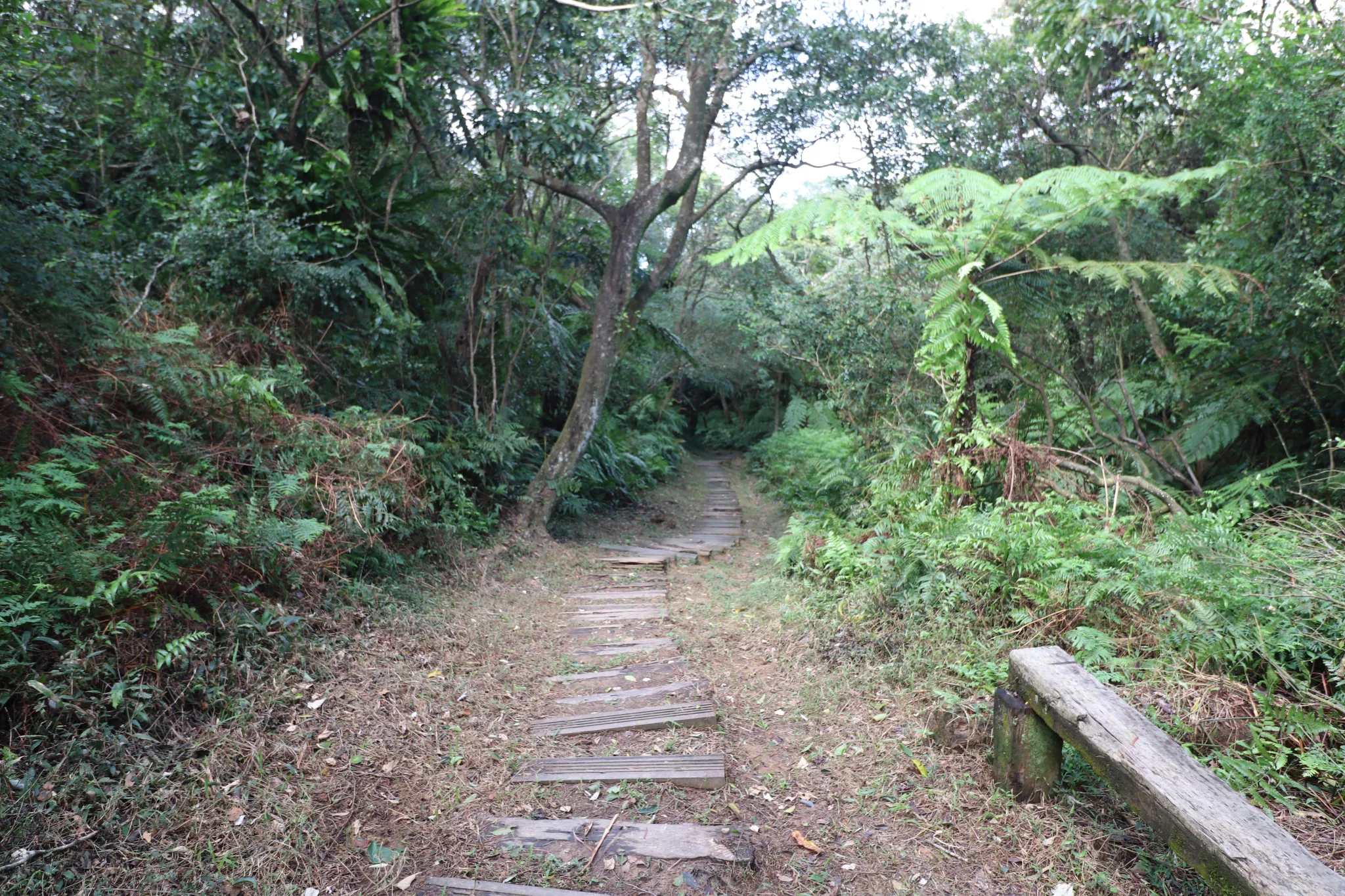
It connected with yet another part of the Gengliao Historic Trail. This part is made of wooden boards.
The last few steps up to Tuku Peak.
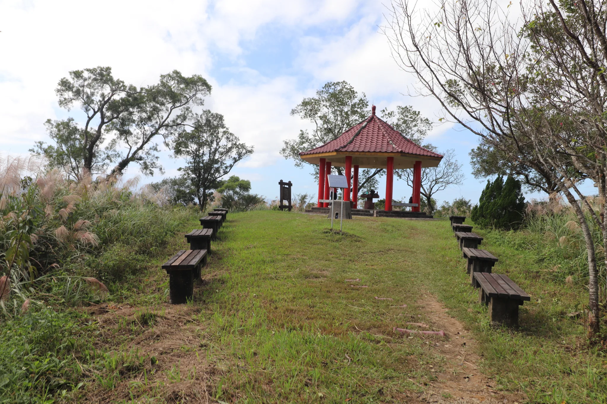
On the top of Tuku Peak is this grassy area with benches and a pavilion.
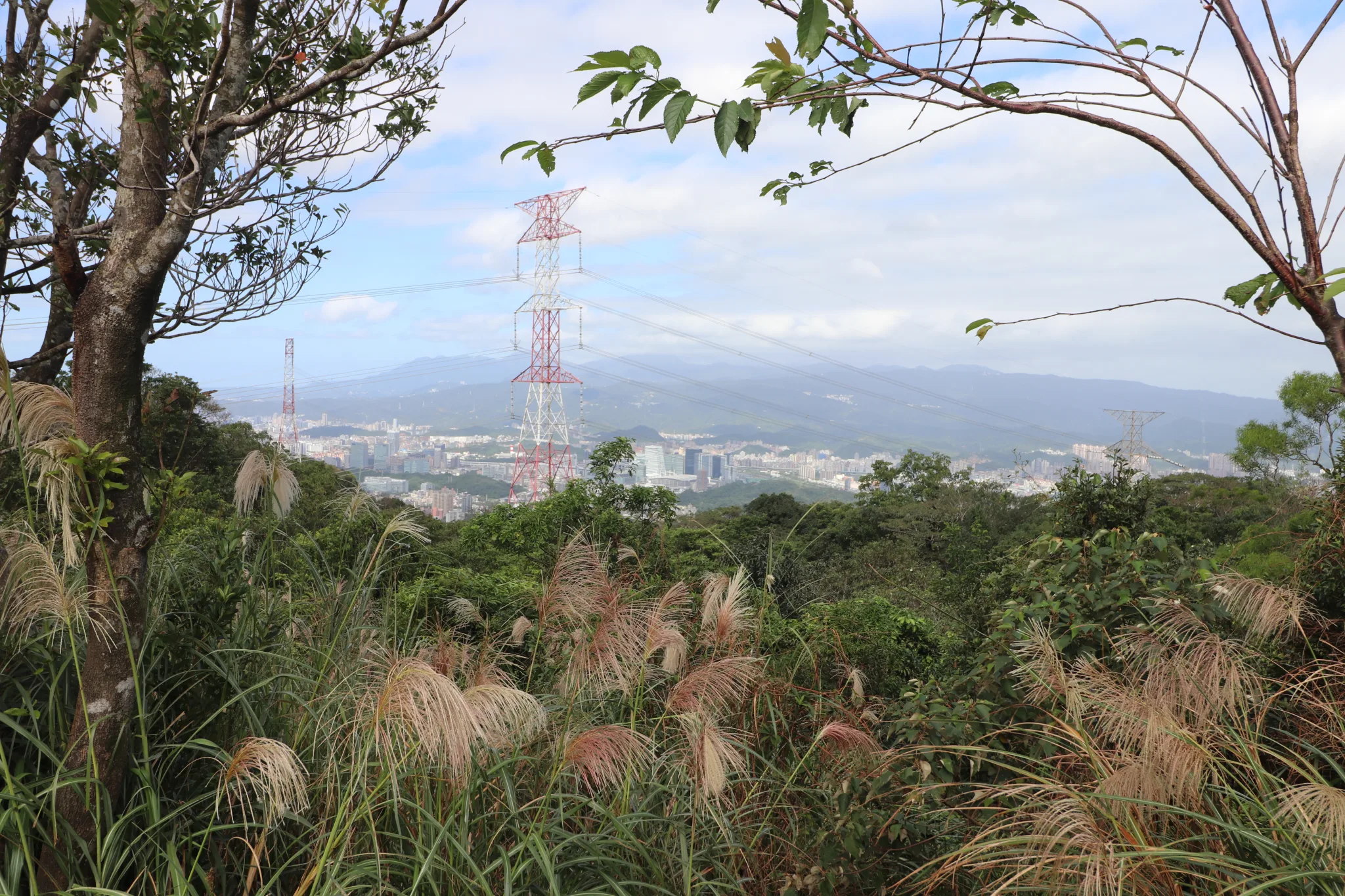
View of Nangang and Neihu below.
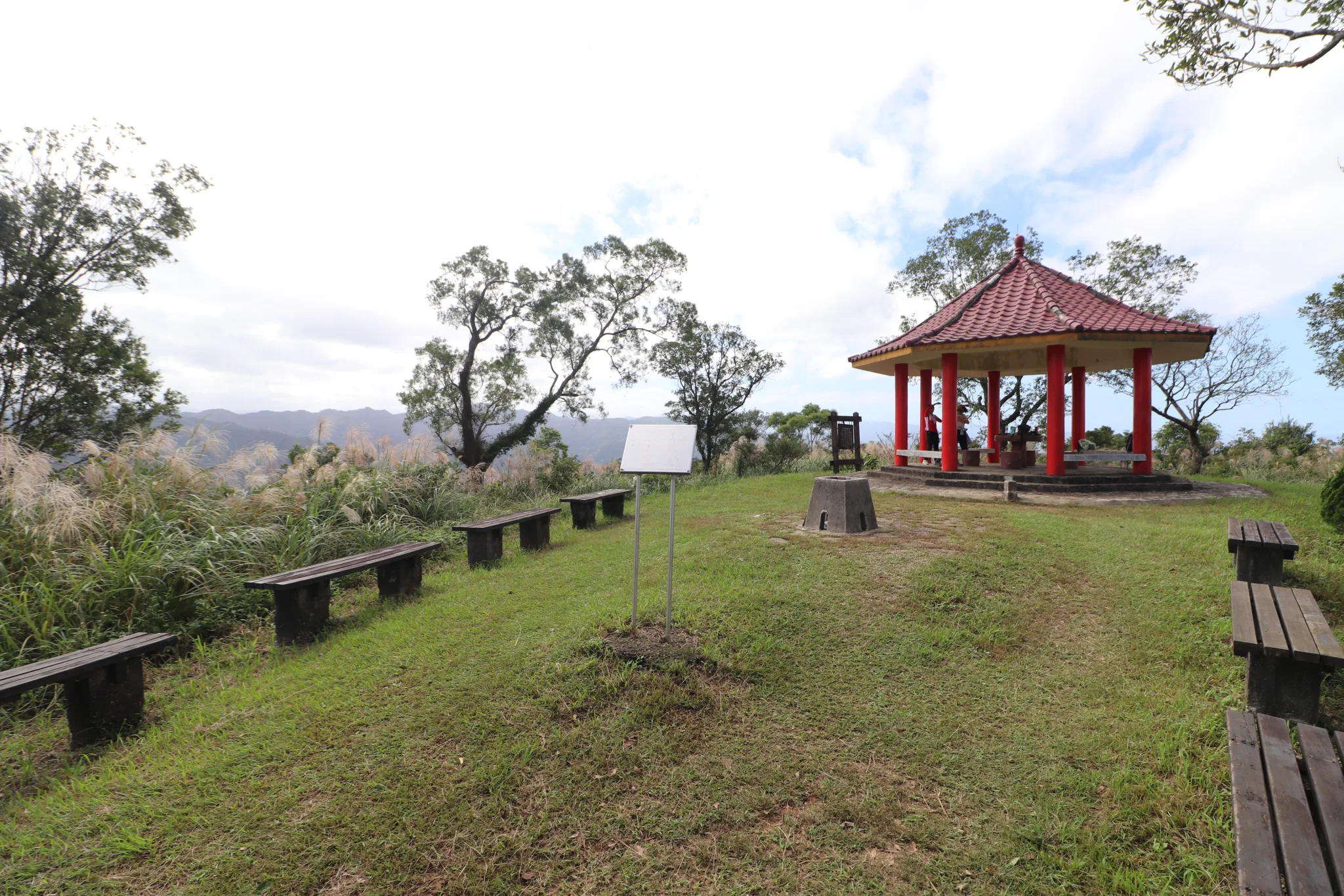
Another view of the pavilion area.
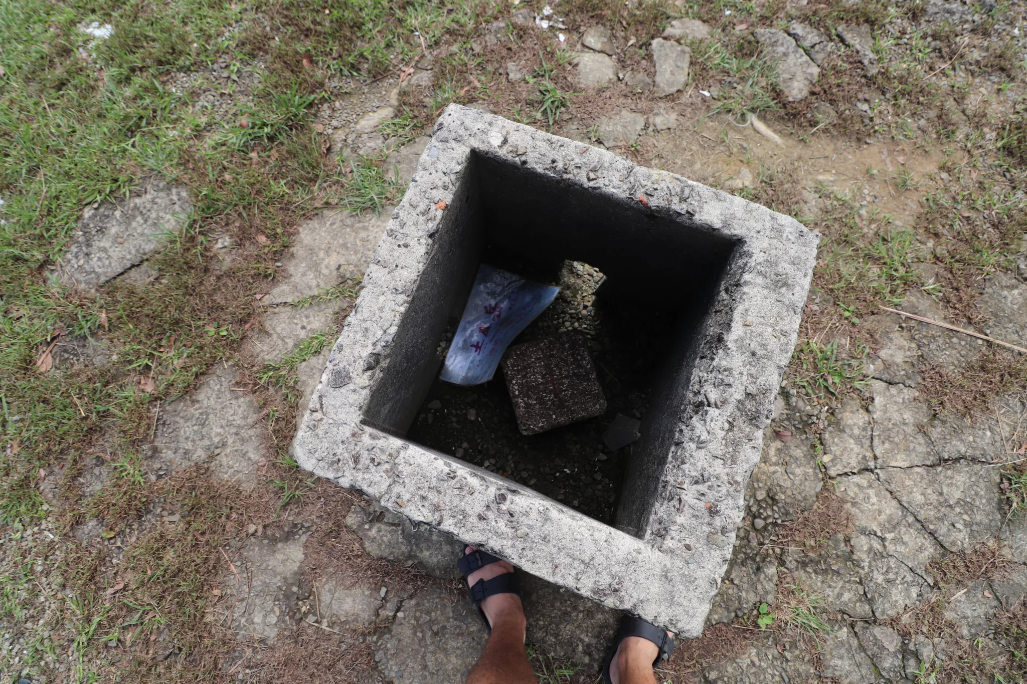
View inside the triangulation stone.
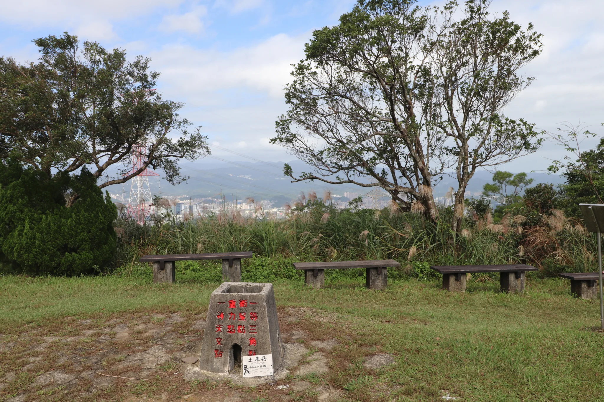
Triangulation stone and some scenery.
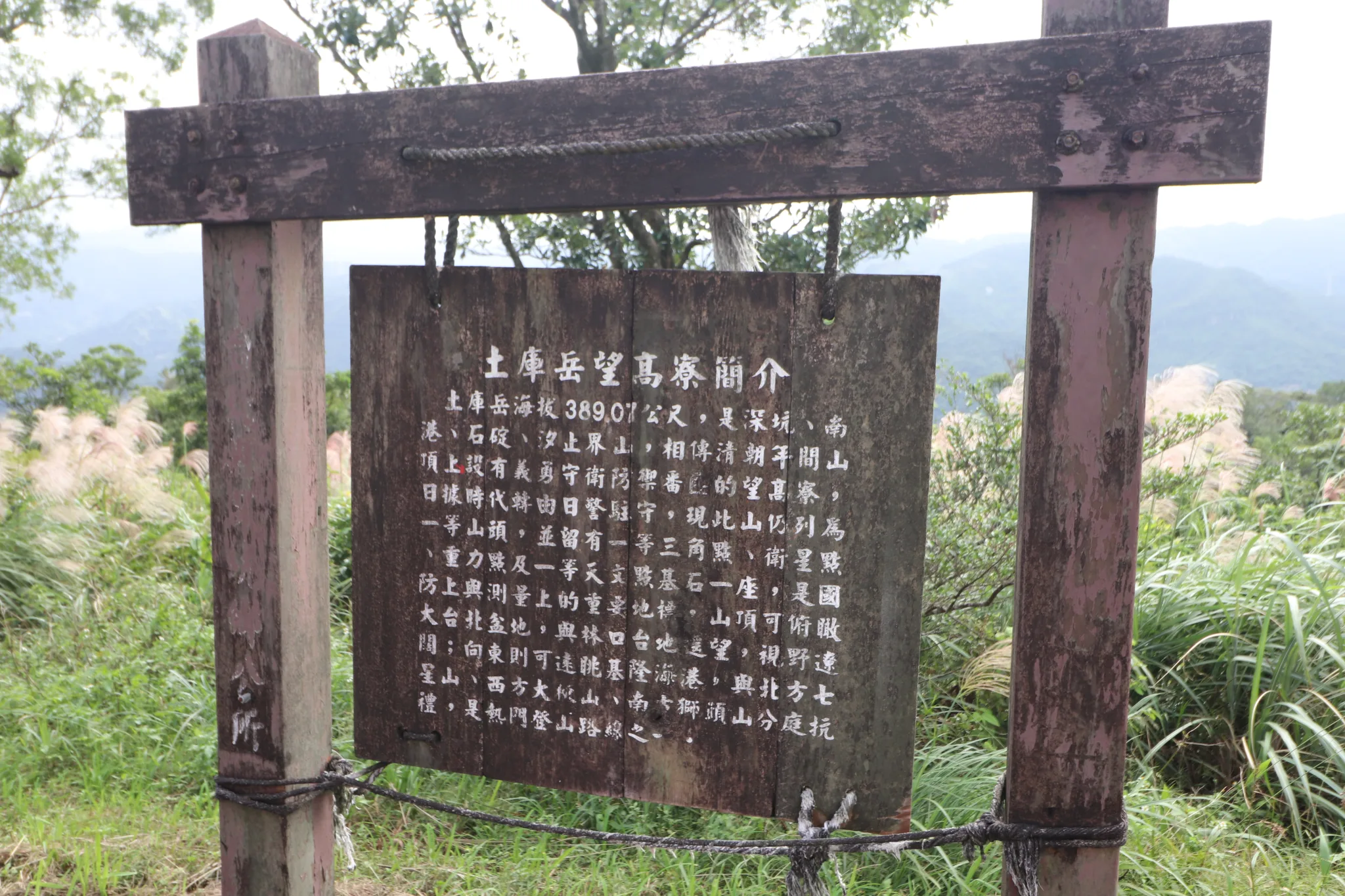
“Introduction to the Tuku Yue Viewpoint”
Tuku Yue has an elevation of 389.07 meters and stands on the boundary between Shenkeng District and Nangang District. During the Qing Dynasty, it was an important lookout point used to monitor movement across the Taipei Basin. The summit offers views in all directions and was formerly known as Wanggaoliao (Lookout Ridge). The mountain is marked by both a first-order triangulation point and a third-order triangulation stone (No. 1134). A military observation post once stood here, making it a strategically important location. Although tree growth now limits some of the views, visitors can still enjoy the scenery extending toward the Taipei Basin. Looking west, one can see the ridges of Nangang Mountain, while to the north lies the route leading toward Shenkeng. The area also served as an important defensive position during historical conflicts (with the aborigines).
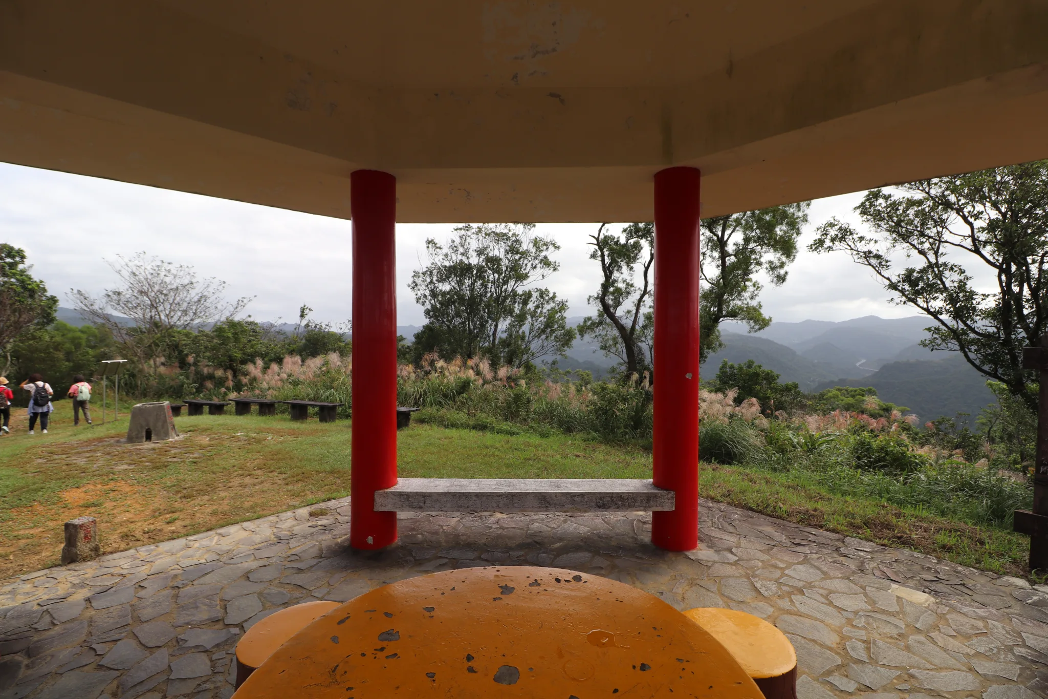
View from the table in the pavilion.
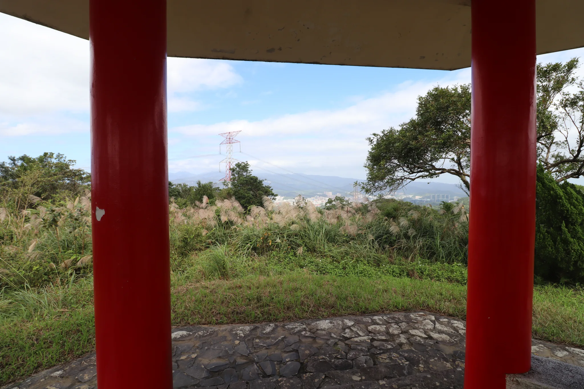
View of downtown video from the pavilion.
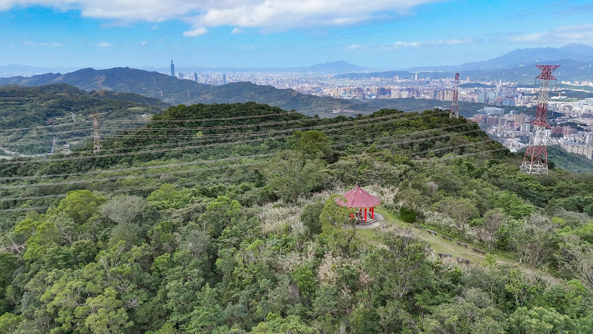
View of Tuku Peak with Taipei in the background.

Top-down view of Tuku Peak.
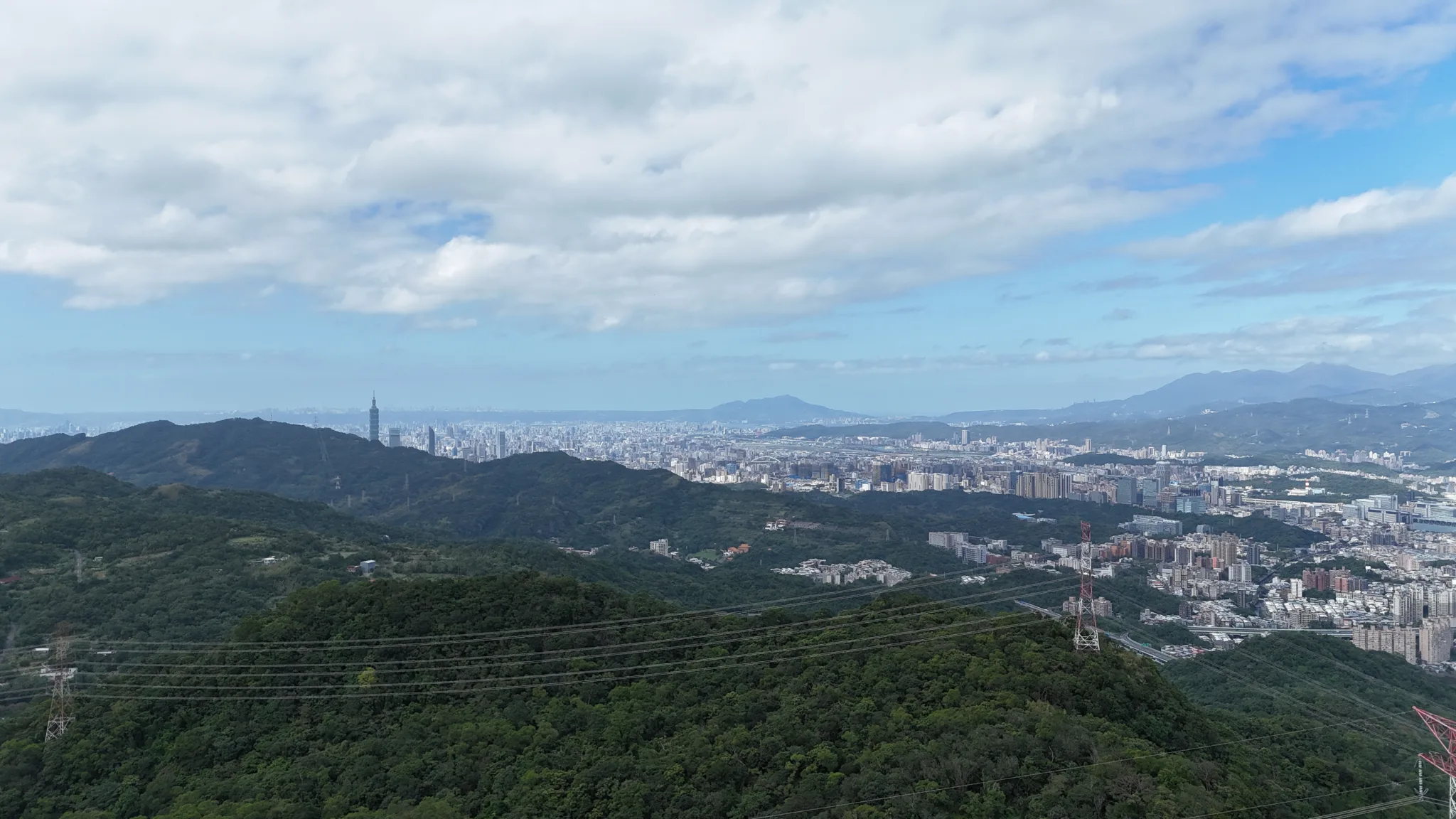
View from higher up of downtown Taipei.
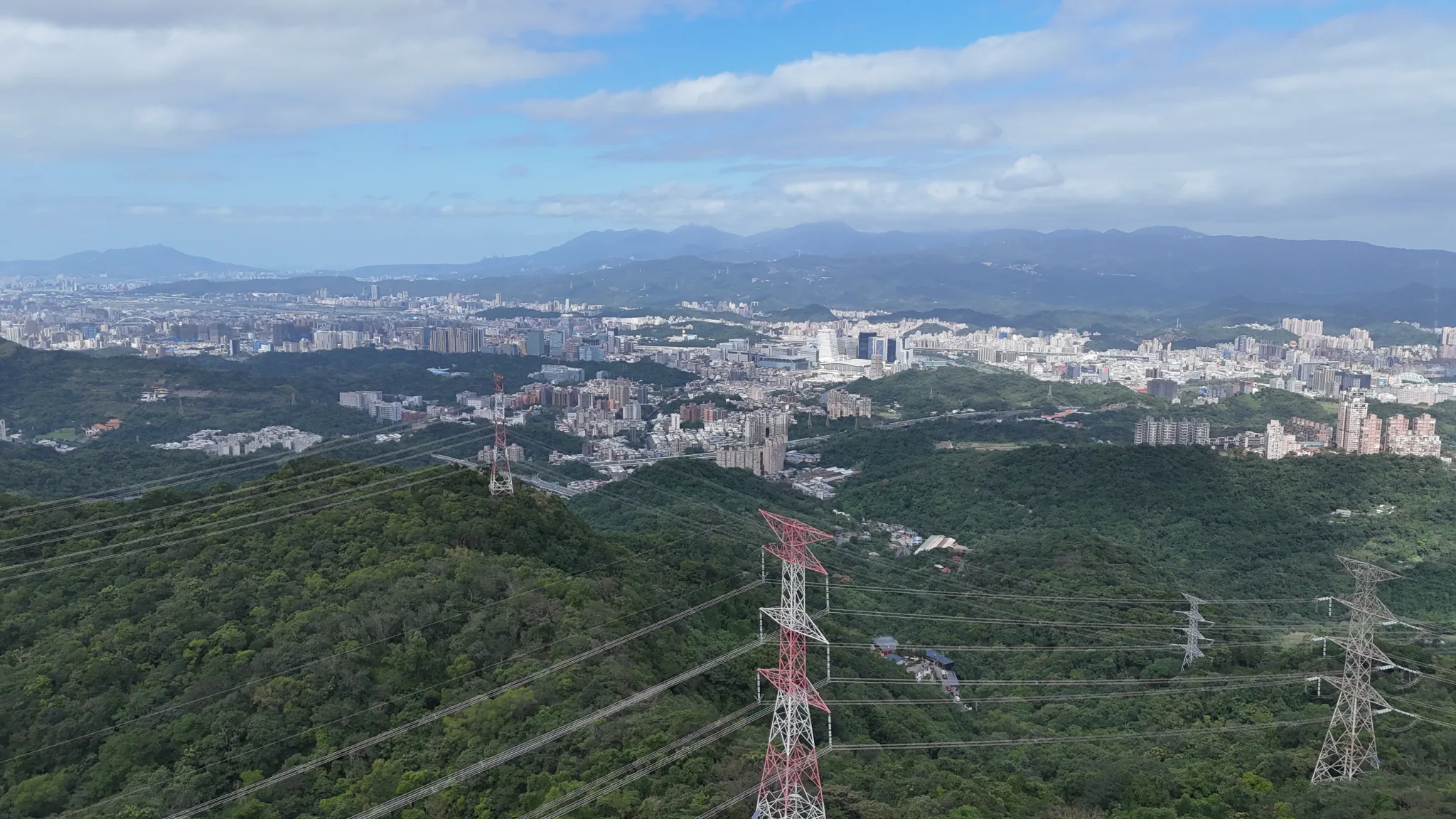
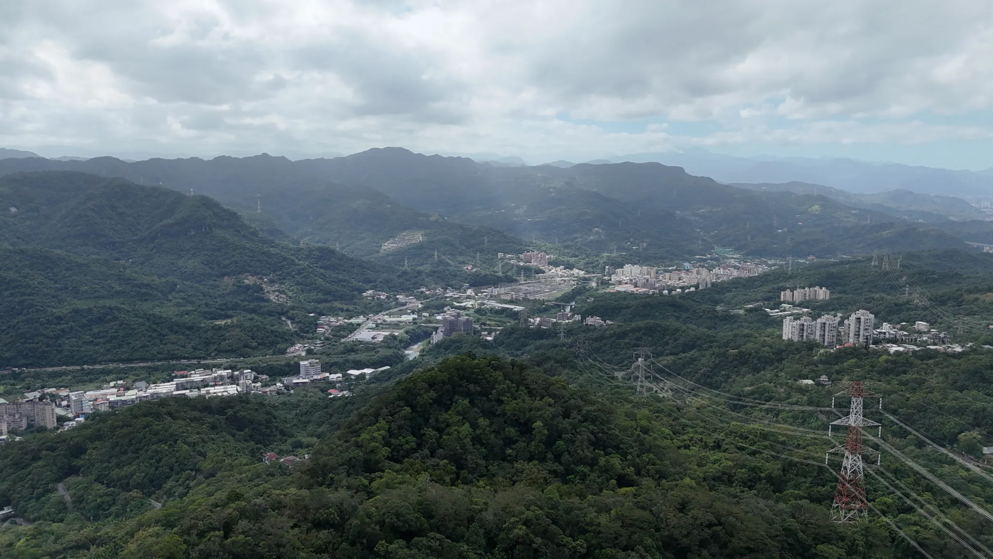
View of Nangang.
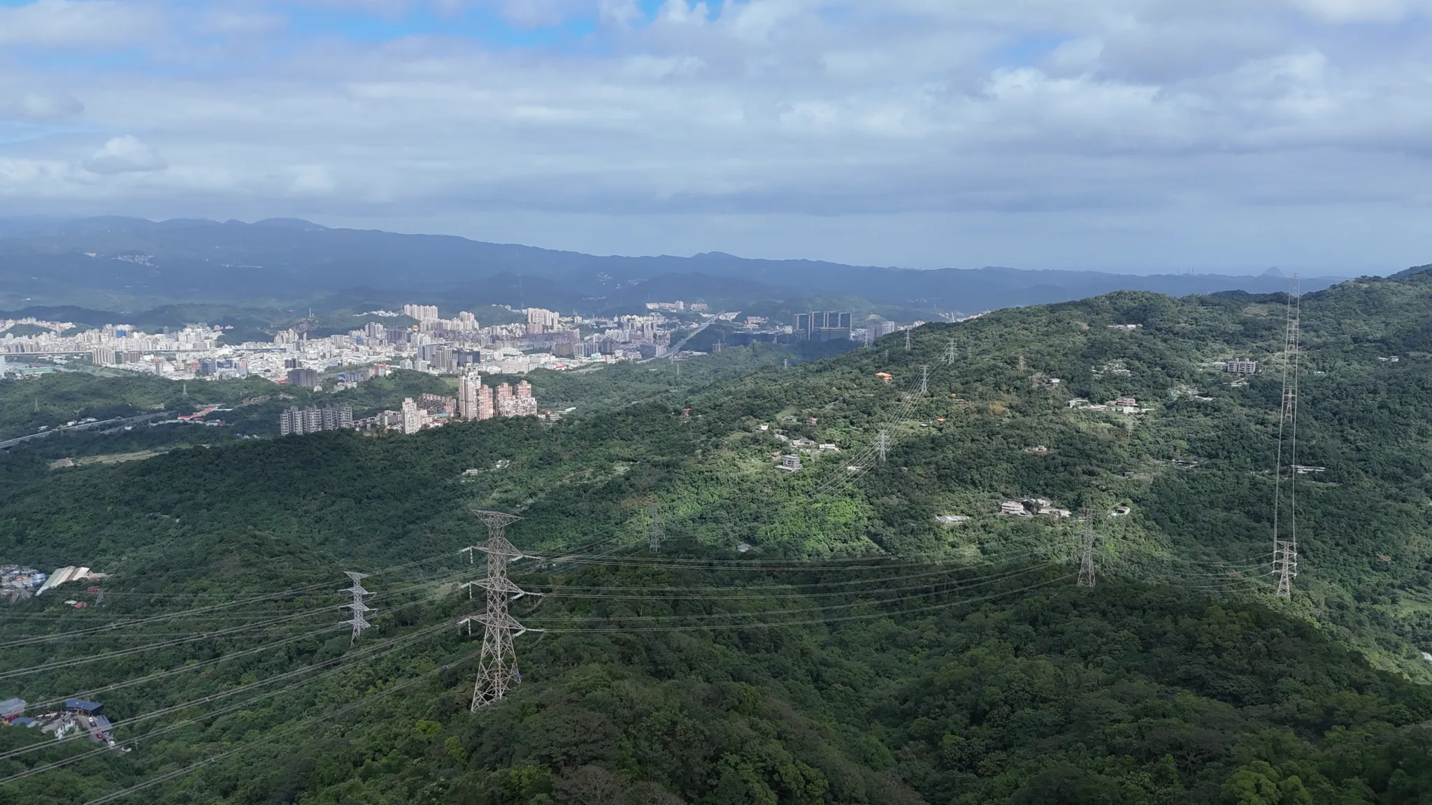
Aerial view via drone looking toward Xizhi.
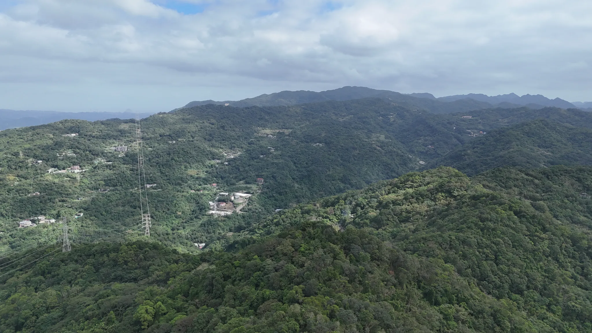
View looking toward Dajianshan. This is part of the Snow Mountain Range.
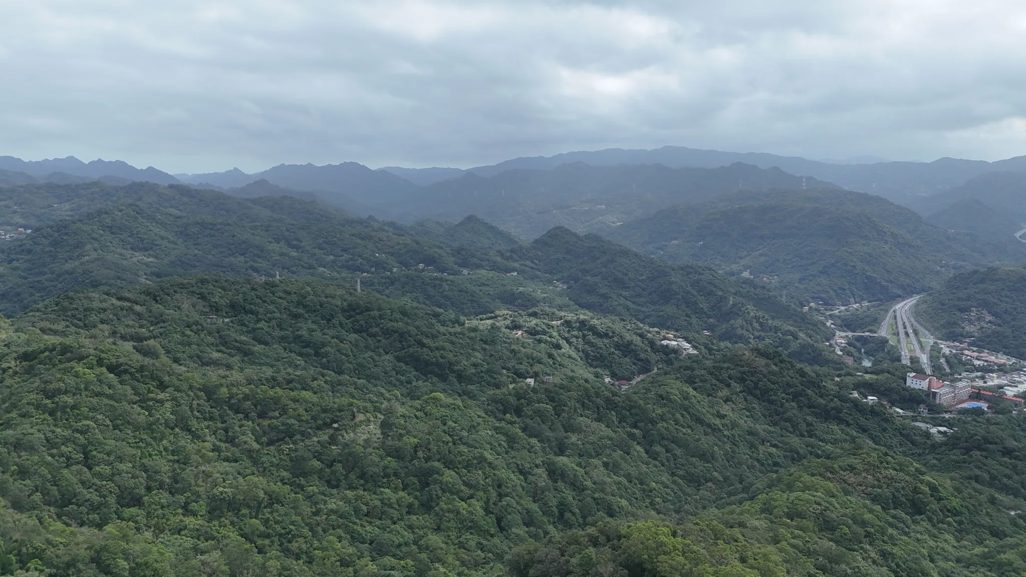
View looking toward Shiding.
View toward downtown Shiding.
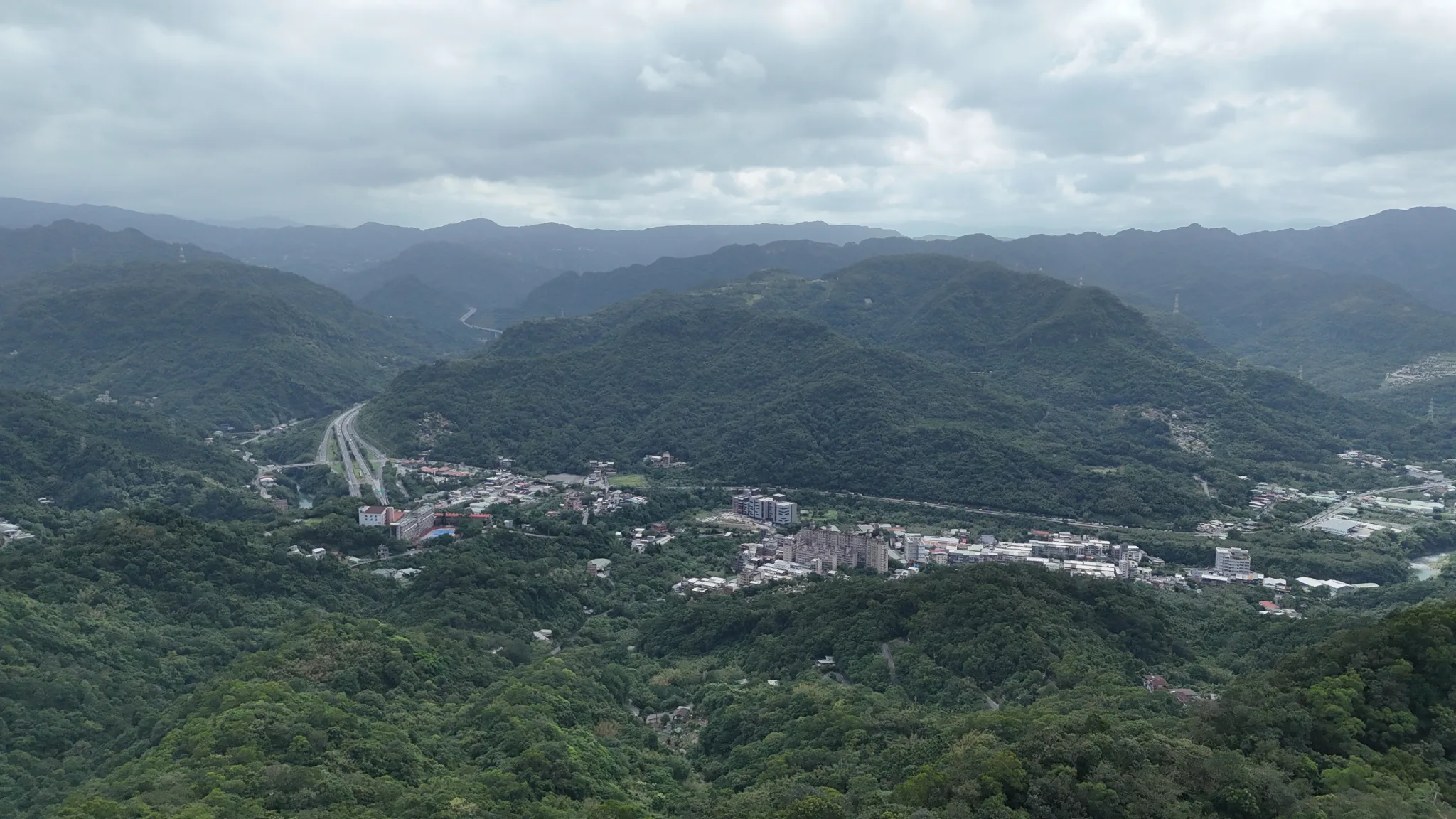
View toward Shenkeng.
View looking directly west.
Check out our hiking guide to Taipei here.
Check out our full guide to Taipei here.